Near Ironton in Cherokee County, Texas — The American South (West South Central)
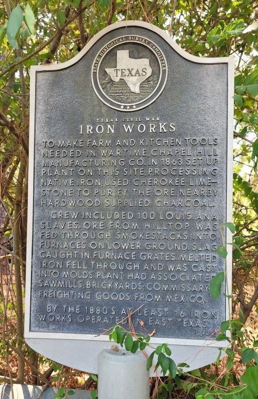
Texas Civil War Iron Works
Crew included 100 Louisiana slaves. Ore from Hilltop was fed through smokestacks into furnaces on lower ground. Slag caught in furnace grates. Melted iron fell through and was cast into molds. Plant had associated sawmills; brickyards: commissary freighting goods from Mexico.
By the 1880's, at least 16 iron works operated in East Texas.
Erected 1965 by State Historical Survey Committee. (Marker Number 6825.)
Topics. This historical marker is listed in these topic lists: African Americans • Industry & Commerce • War, US Civil. A significant historical year for this entry is 1863.
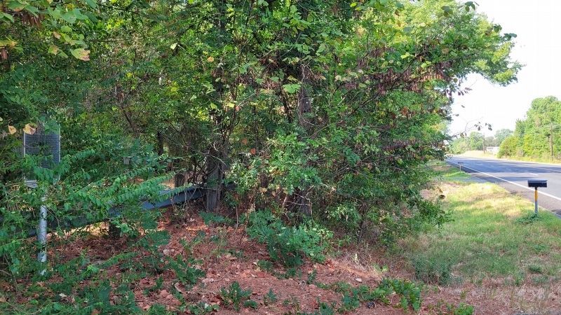
Location. 31° 54.439′ N, 95° 23.162′ W. Marker is near Ironton, Texas, in Cherokee County. Marker is on U.S. 79, ¼ mile west of County Highway 3223, on the left when traveling west. The marker is located on the south side of the highway. Touch for map. Marker is in this post office area: Jacksonville TX 75766, United States of America. Touch for directions.
Other nearby markers. At least 8 other markers are within 7 miles of this marker, measured as the crow flies. Earle's Chapel Cemetery (approx. 3.3 miles away); Earle's Chapel Methodist Church (approx. 3.4 miles away); Thomas Jefferson Dean (approx. 6.9 miles away); Murdoch McDonald (approx. 7 miles away); David Greene Templeton (approx. 7.1 miles away); Jackson Smith (approx. 7.1 miles away); Sea Scouts Ship 400 (approx. 7.1 miles away); Old Neches Saline Road (approx. 7.1 miles away).
Also see . . .
1. Ironton, TX. Texas State Historical Association (TSHA) (Submitted on September 16, 2023, by James Hulse of Medina, Texas.)
2. Iron and Steel Industry. Texas State Historical Association (TSHA) (Submitted on September 16, 2023, by James Hulse of Medina, Texas.)
Credits. This page was last revised on September 16, 2023. It was originally submitted on September 15, 2023, by James Hulse of Medina, Texas. This page has been viewed 136 times since then and 74 times this year. Photos: 1, 2. submitted on September 16, 2023, by James Hulse of Medina, Texas.

