Estherville in Emmet County, Iowa — The American Midwest (Upper Plains)
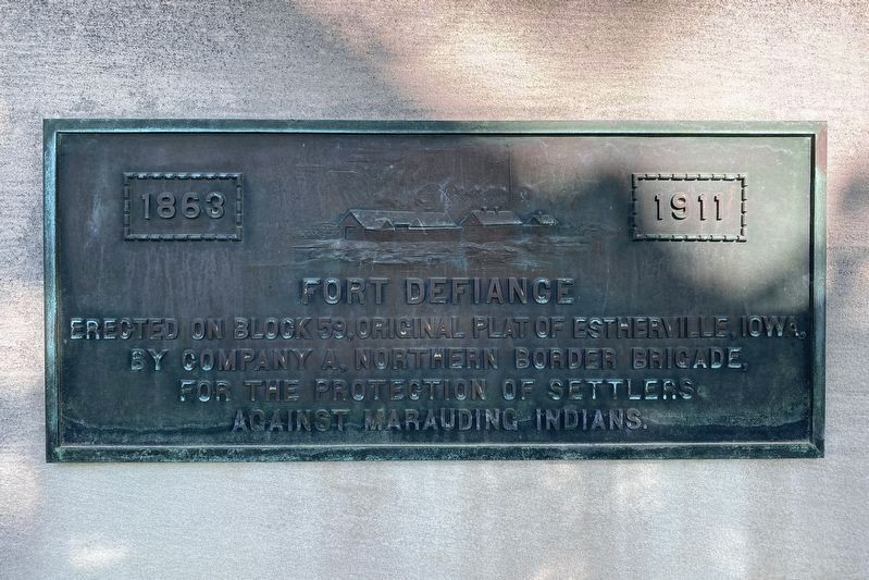
Fort Defiance
1863 1911
Erected on block 59, original plat of Estherville, Iowa, by Company A, Northern Border Brigade, for the protection of settlers against marauding Indians.
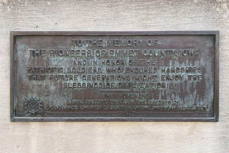
To the memory of the pioneers of Emmet County, Iowa and in honor of the patriotic soldiers who endured hardships that future generations might enjoy the blessings of civilization
Erected 1911 by Okamanpadu Chapter Daughters of the American Revolution.
Topics and series. This historical marker is listed in these topic lists: Forts and Castles • Wars, US Indian. In addition, it is included in the Daughters of the American Revolution series list. A significant historical year for this entry is 1863.
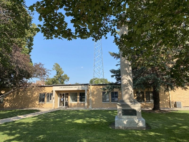
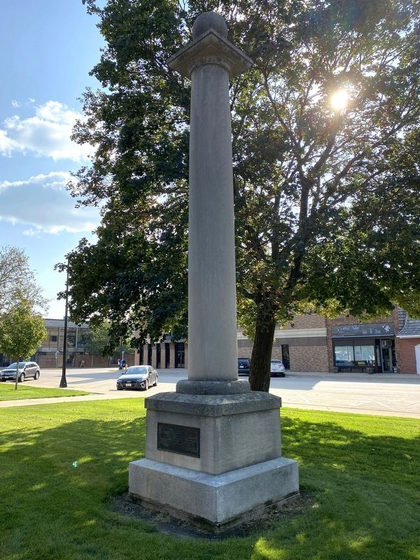
Location. 43° 24.209′ N, 94° 50.185′ W. Marker is in Estherville, Iowa, in Emmet County. Marker is on North 6th Street north of 1st Avenue North, on the right when traveling north. Located by the Law Enforcement Center in Estherville. Touch for map. Marker is at or near this postal address: 114 N 6th St, Estherville IA 51334, United States of America. Touch for directions.
Other nearby markers. At least 7 other markers are within 13 miles of this marker, measured as the crow flies. First Bell Used by the Estherville Fire Department (about 300 feet away, measured in a direct line); Emmet County Veterans Memorial (about 500 feet away); Estherville Swinging Bridge (approx. 0.4 miles away); a different marker also named Estherville Swinging Bridge (approx. 0.4 miles away); The Estherville Meteorite (approx. 2.6 miles away); State Line Congregation (approx. 7.4 miles away); De Soto (approx. 12.7 miles away in Minnesota).
Credits. This page was last revised on September 16, 2023. It was originally submitted on September 16, 2023. This page has been viewed 78 times since then and 25 times this year. Photos: 1, 2, 3, 4. submitted on September 16, 2023.


