
Ludlow in Shropshire, England, United Kingdom — Northwestern Europe (the British Isles)
2 Dinham
Photographed by Stephen Palmer, September 16, 2023
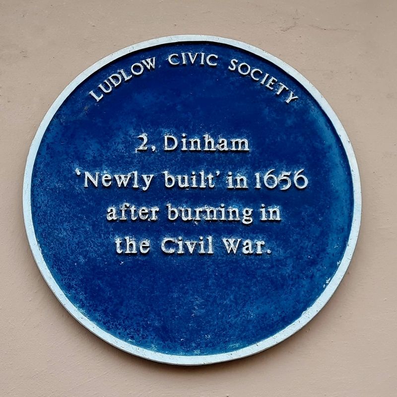
1. 2 Dinham Marker
"Newly built' in 1656 after burning in the Civil War.
Erected by Ludlow Civic Society.
Topics. This historical marker is listed in this topic list: Architecture. A significant historical year for this entry is 1656.
Location. 52° 22.012′ N, 2° 43.295′ W. Marker is in Ludlow, England, in Shropshire. It is on Dinham, on the right when traveling north. Touch for map. Marker is at or near this postal address: 2 Dinham, Ludlow, England SY8 1EJ, United Kingdom. Touch for directions.

Regionally, this marker is in England’s Midlands. It is also on the British Marches. Globally, it is on the Atlantic Ocean, in the North Atlantic Region, in Europe, in Atlantic Europe, on one of the British Isles, in the Western World, and in the Anglosphere. Historically, it finds itself in what was once the Roman Empire.
Other nearby markers. At least 8 other markers are within walking distance of this marker: 7 Dinham (a few steps from this marker); Dinham Hall (within shouting distance of this marker); Edward V (within shouting distance of this marker); Castle Square (within shouting distance of this marker); Mill Street
this page online
Photographed by Stephen Palmer, September 16, 2023
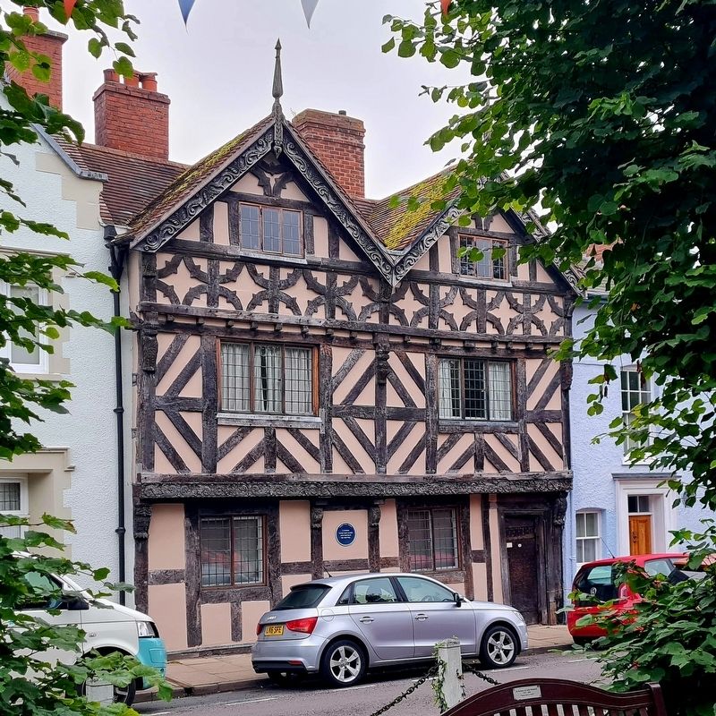
2. 2 Dinham
Credits. This page was last revised on September 16, 2023. It was originally submitted on September 16, 2023, by Stephen Palmer of Ascot, England. This page has been viewed 133 times since then and 17 times this year. Photos: 1, 2. submitted on September 16, 2023, by Stephen Palmer of Ascot, England. • Andrew Ruppenstein was the editor who published this page.
