Morrisville in Wake County, North Carolina — The American South (South Atlantic)
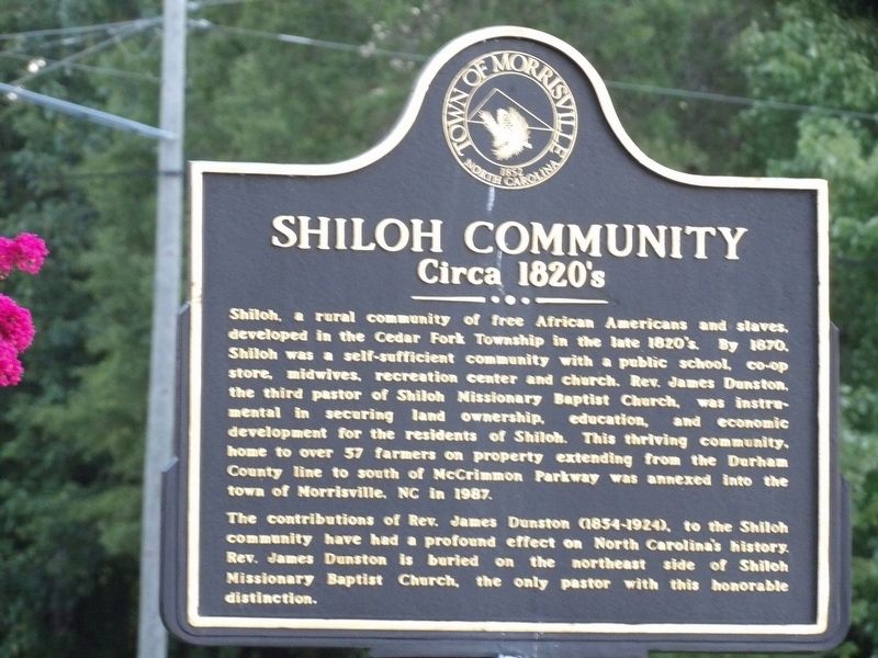
Shiloh Community
Circa 1820's
Photographed by Duane and Tracy Marsteller, August 31, 2023
1. Shiloh Community Marker
The contributions of Rev. James Dunston (1854-1924), to the Shiloh community have had a profound effect on North Carolina's history. Rev. James Dunston is buried on the northeast side of Shiloh Missionary Baptist Church, the only pastor with this honorable distinction.
Erected by Town of Morrisville.
Topics. This historical marker is listed in these topic lists: African Americans • Settlements & Settlers. A significant historical year for this entry is 1820.
Location. 35° 51.119′ N, 78° 50.584′ W. Marker is in
this page online

Regionally, this marker is in the Piedmont and in the Research Triangle. It is also in the American South and specifically in the Upper South. Globally, it is in North America, the Western Hemisphere, the Western World, and the Anglosphere. Historically, it finds itself in what was once the territory of the Mississippian Culture, one of the original Thirteen Colonies, one of the Confederate States of America, and the Antebellum South.
Other nearby markers. At least 8 other markers are within walking distance of this marker: Shiloh (here, next to this marker); a different marker also named Shiloh Community (within shouting distance of this marker); The Tobacco Barn (about 300 feet away, measured in a direct line); a different marker also named The Tobacco Barn (about 300 feet away); Shiloh Leaders (approx.
Photographed by Duane and Tracy Marsteller, August 31, 2023
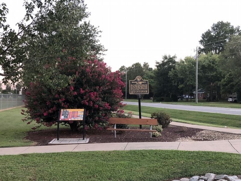
2. Shiloh Community Marker
Credits. This page was last revised on September 16, 2023. It was originally submitted on September 16, 2023, by Duane and Tracy Marsteller of Murfreesboro, Tennessee. This page has been viewed 1,139 times since then and 192 times this year. Photos: 1, 2. submitted on September 16, 2023, by Duane and Tracy Marsteller of Murfreesboro, Tennessee.
