Stillwater Township in Washington County, Minnesota — The American Midwest (Upper Plains)
Restoring Oak Woods and Prairies: Why Do It?
Inscription.
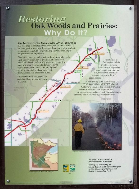
The Gateway trail travels through a landscape that was once dominated by oak forest, oak savanna, brush land and prairie openings. Today small remnants of these plant communities can still be enjoyed along the trail providing a unique recreation experience.
Woodlands here are made up of northern pin oak bur oak, black cherry, aspen, birch, green ash and basswood, mixed with brush thickets of gray dogwood, American hazel and nannyberry, and interspersed with wetlands and small lakes. Two small gravel prairie remnants have been preserved through occasional prescribed burns.
These communities depended on occasional fires to maintain their character.
The absence of fire has favored the growth of invasive buckthorn, honeysuckle, Amur maple and Siberian elm, which over time have replaced native shrubs and ground cover.
A partnership with the Gateway Trail Association and DNR Trails and Waterways enabled the control of invasive species in selected plant communities. Management methods were cut–stump treatment of woody plants followed by prescribed burns.
Ecological provinces of Minnesota and beyond
Erected 2008 by Minnesota Department of Natural Resources.
Topics. This historical marker is listed in this topic list: Environment.
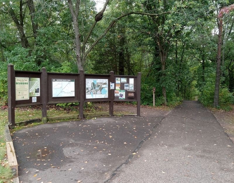
Location. 45° 7.231′ N, 92° 50.284′ W. Marker is near Stillwater, Minnesota, in Washington County. It is in Stillwater Township. Marker can be reached from Norell Avenue N. (County Route 55) south of 120th Street N., on the right when traveling south. The marker is in Pine Point Regional Park, just southwest of the parking lot. Touch for map. Marker is at or near this postal address: 11900 Norell Avenue N, Stillwater MN 55082, United States of America. Touch for directions.
Other nearby markers. At least 8 other markers are within 4 miles of this marker, measured as the crow flies. Pine Point County Park (a few steps from this marker); Historic Span of an Iron Bridge (approx. 1.7 miles away); Bridging Brown's Creek (approx. 3.1 miles away); Brown's Creek Revival (approx. 3˝ miles away); Life at the Boom (approx. 3˝ miles away); Controlling A River Of Logs (approx. 3˝ miles away); St. Croix Boom Site (approx. 3˝ miles away); Geology of Minnesota (approx. 3.6 miles away). Touch for a list and map of all markers in Stillwater.
Credits. This page was last revised on September 18, 2023. It was originally submitted on September 16, 2023, by McGhiever of Minneapolis, Minnesota. This page has been viewed 41 times since then and 9 times this year. Photos: 1, 2. submitted on September 16, 2023, by McGhiever of Minneapolis, Minnesota. • J. Makali Bruton was the editor who published this page.

