Imperial in Jefferson County, Missouri — The American Midwest (Upper Plains)
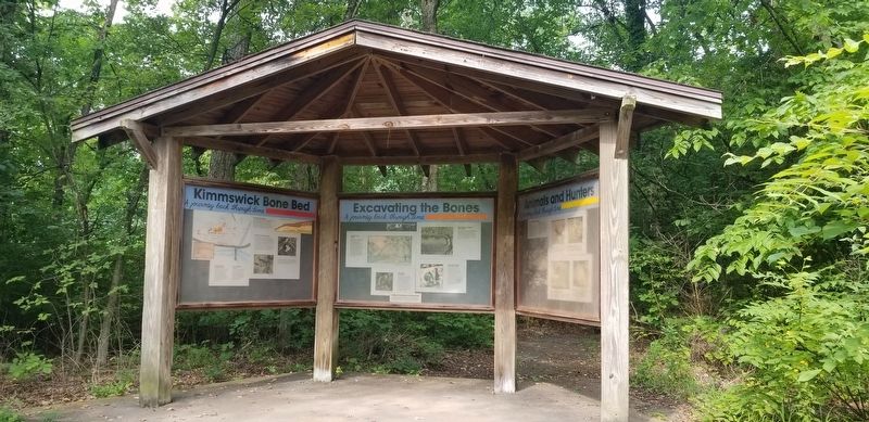
Excavating the Bones
A Journey Back Through Time
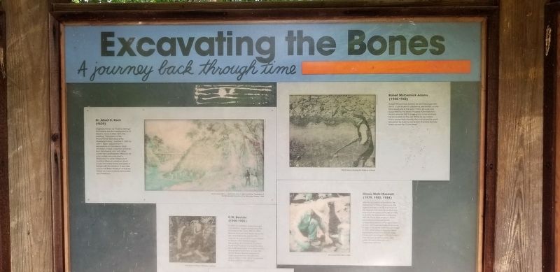
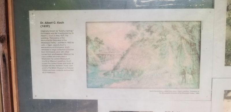
Dr. Albert C. Koch
(1839)
Originally known as "Sulphur Springs," Kimmswick was first investigated by Dr. Albert C. Koch in May 1839. The painting, "Panorama of the Monumental Grandeur of the Mississippi Valley," painted in 1850 by John J. Egan, depicts Koch's excavations at Kimmswick. Koch amassed a large collection of bones from Kimmswick, and, with other bones from southwestern Missouri, he inaccurately reconstructed a Mastodon he called Missourium kochii or Missouri Leviathan. Koch toured the United States and parts of Europe with the skeleton. It was later sold to the British Museum of Natural History and was correctly remounted as a mastodon.
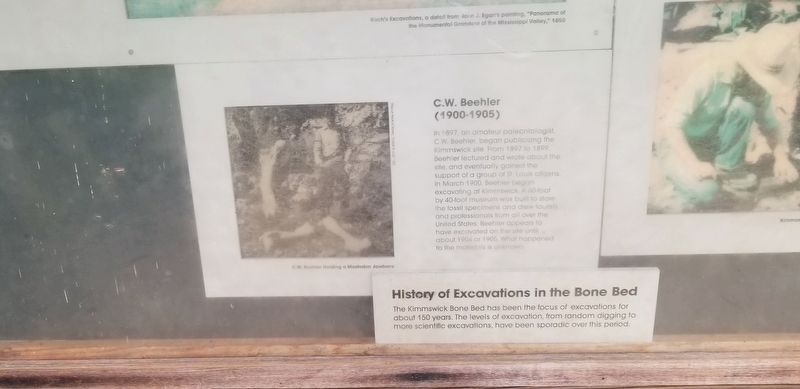
C.W. Beehler
(1900-1905)
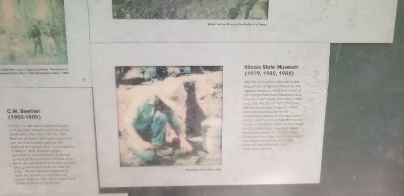
In 1897, an amateur paleontologist, C.W. Beehler, began publicizing the Kimmswick site From 1897 to 1899, Beehler lectured and wrote about the site, and eventually gained the support of a group of St. Louis citizens. In March 1900, Beehler began excavating at Kimmswick. A 60-foot by 40-foot museum was built to store the fossil specimens and drew tourists and professionals from all over the United States. Beehler appears to have excavated on the site until about 1904 or 1905. What happened to the materials is unknown.
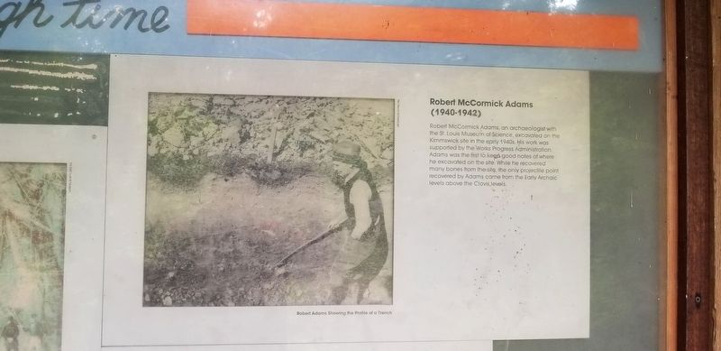
Robert McCormick Adams
(1940-1942)
Robert McCormick Adams, an archaeologist with the St. Louis Museum of Science, excavated on the Kimmswick site in the early 1940s. His work was supported by the Works Progress Administration. Adams was the first to keep good notes of where he excavated on the site. While he recovered many bones from the site, the only projectile point recovered by Adams came from the Early Archaic levels above the Clovis, levels.
Illinois State Museum
(1979, 1980, 1984)
After the acquisition of the site by the Department of Natural Resources, the agency wanted to know how much of the deposits had been excavated and how much remained of the site. In order to do this, the department contracted with the Illinois State Museum. These excavations produced the first undisputed evidence of the association of man and mastodon in North America. A large Clovis spear point was recovered in 1979. Other artifacts were recovered the following year, including (illegible) Clovis point and a point in the (illegible) manufacture as well as waste chert flakes, all associated with late Pleistocene animals.
Topics. This historical marker is listed in these topic lists: Paleontology • Parks & Recreational Areas.
Location. 38° 22.697′ N, 90° 23.045′ W. Marker is in Imperial, Missouri, in Jefferson County. Marker can be reached from Charles J Becker Drive just west of West Outer Road. Touch for map. Marker is at or near this postal address: 1050 Charles J Becker Drive, Imperial MO 63052, United States of America. Touch for directions.
Other nearby markers. At least 8 other markers are within 4 miles of this marker, measured as the crow flies. Kimmswick Bone Bed (here, next to this marker); Quarry Operations (within shouting distance of this marker); Bring Us Home (approx. 0.9 miles away); Flame of Freedom (approx. 0.9 miles away); El Camino Real (approx. 1.2 miles away); Windsor Harbor Road Bridge (approx. 1˝ miles away); Welcome to Sulphur Springs Landing (approx. 2.9 miles away); POW * MIA (approx. 3.8 miles away). Touch for a list and map of all markers in Imperial.
More about this marker. Located in the Mastodon State Park of Missouri on the "Wildflower Trail". Rugged terrain but the trail is an easy/moderate hike. Lots of stairways to get to this site. Hiking trails are free, admission charged for the museum area.
Credits. This page was last revised on September 16, 2023. It was originally submitted on September 16, 2023, by Cajun Scrambler of Assumption, Louisiana. This page has been viewed 49 times since then and 15 times this year. Photos: 1, 2, 3, 4, 5, 6. submitted on September 16, 2023, by Cajun Scrambler of Assumption, Louisiana.
