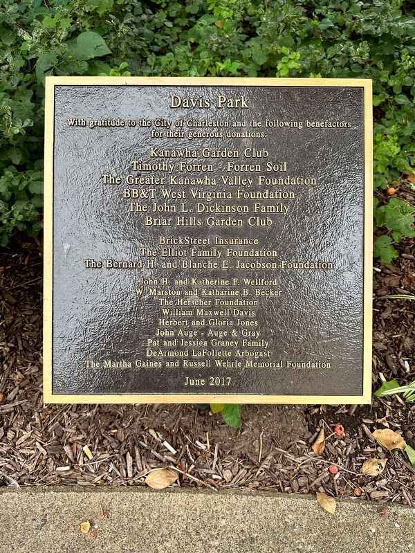
Charleston in Kanawha County, West Virginia — The American South (Appalachia)
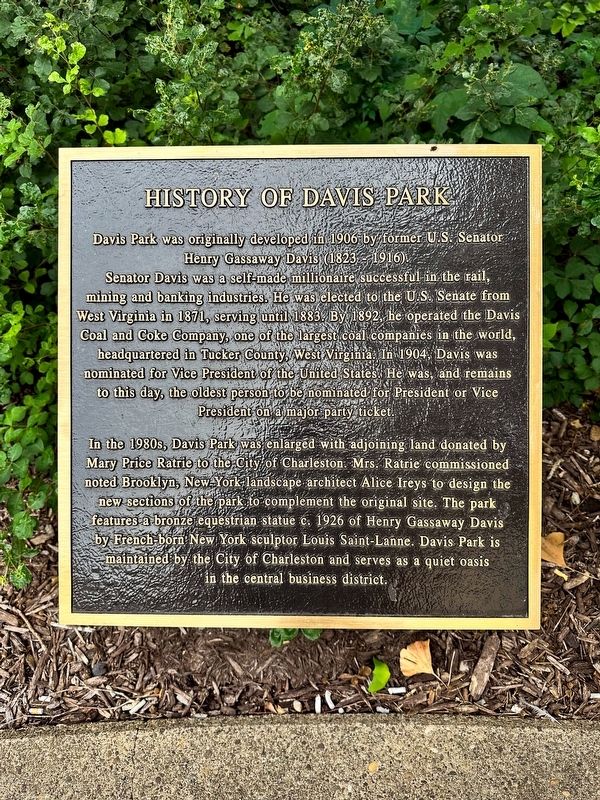
History of Davis Park
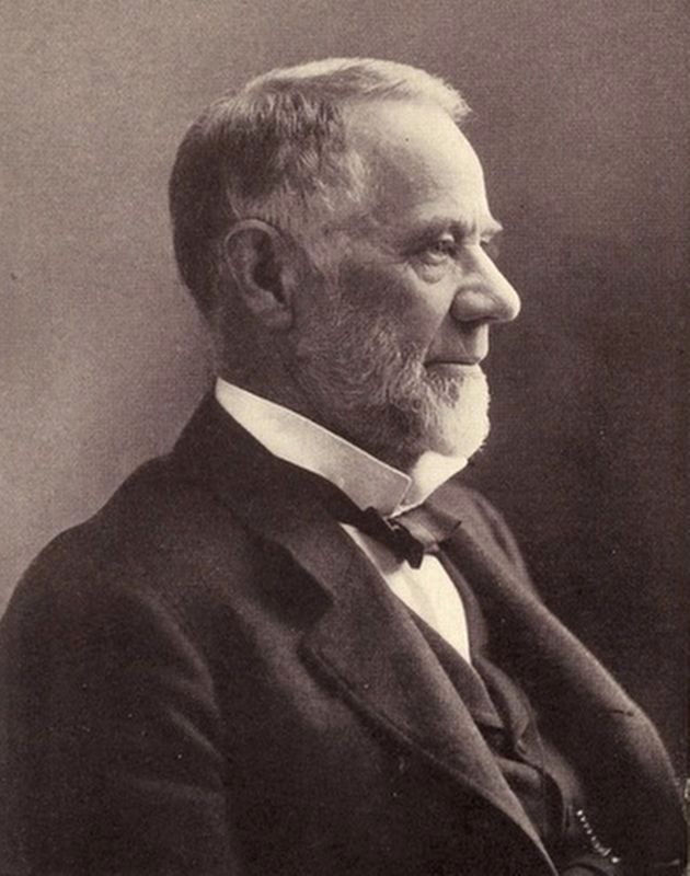
Davis Park was originally developed in 1906 by former U.S. Senator Henry Gassaway Davis (1823-1916). Senator Davis was a self-made millionaire successful in the rail, mining and banking industries. He was elected to the U.S. Senate from West Virginia in 1871, serving until 1883. By 1892, he operated the Davis Coal and Coke Company, one of the largest coal companies in the world, headquartered in Tucker County, West Virginia: In 1904, Davis was nominated for Vice President of the United States. He was, and remains to this day, the oldest person to be nominated for President or Vice President on a major party ticket.
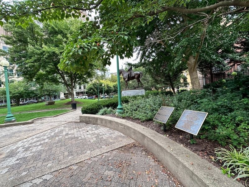
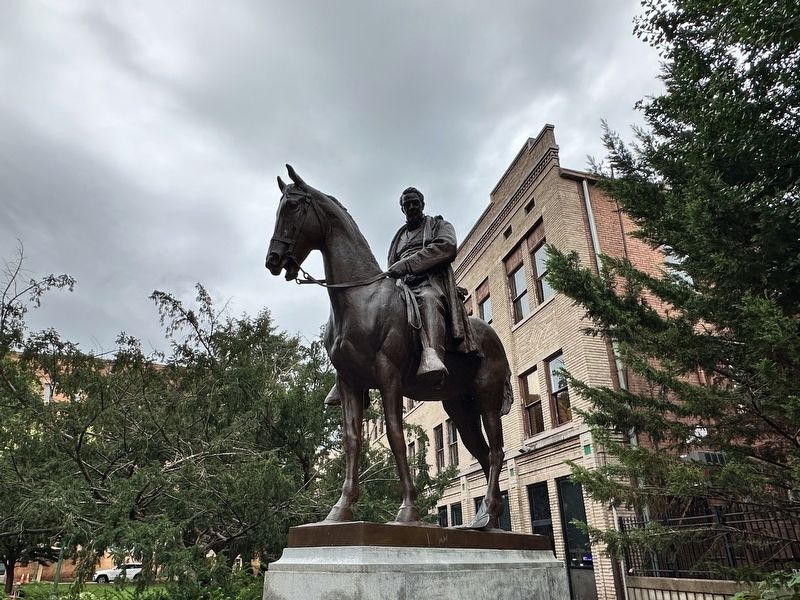
In the 1980s, Davis Park was enlarged with adjoining land donated by Mary Price Ratrie to the City of Charleston. Mrs. Ratrie commissioned noted Brooklyn, New-York-landscape architect Alice Ireys to design the new sections of the park to complement the original site. The park features a bronze equestrian statue c. 1926 of Henry Gassaway Davis by French-born New York sculptor Louis Saint-Lanne. Davis Park is maintained by the City of Charleston and serves as a quiet oasis in the central business district.
Erected 2017.
Topics. This historical marker is listed in these topic lists: Horticulture & Forestry • Parks & Recreational Areas • Railroads & Streetcars. A significant historical year for this entry is 1906.
Location. 38° 21.094′ N, 81° 37.985′ W. Marker is in Charleston, West Virginia, in Kanawha County. Marker is on Capitol Street just east of Lee Street (U.S. 60), on the left when traveling east. Touch for map. Marker is at or near this postal address: 301 Capitol Street, Charleston WV 25301, United States of America. Touch for directions.
Other nearby markers. At least 8 other markers are within walking distance of this marker. State Capitol (about 300 feet away, measured in a direct line); World War II Memorial (about 400 feet away); World War I Memorial (about 400 feet away); a different marker also named State Capitol (about 500 feet away); Temple Israel - 1873 (about 700 feet away); a different marker also named World War I Memorial (about 800 feet away); Mattie V. Lee Home, Inc. (approx. 0.2 miles away); State Capitol Annex (approx. 0.2 miles away). Touch for a list and map of all markers in Charleston.
Also see . . . Henry G. Davis. Excerpt:
Davis in his last years acted as chairman of the permanent Pan American Railway Committee (1901–1916) and also donated land to build Davis and Elkins College in Elkins, West Virginia. He died in Washington, D.C., on March 11, 1916, at the age of 92. He was interred in the Maplewood Cemetery in Elkins. A bronze equestrian statue of Davis was erected in 1927, at Sycamore Street and Randolph Avenue in Elkins, with an identical twin in Davis Park in downtown Charleston, West Virginia.(Submitted on September 17, 2023, by J.T. Lambrou of New Boston, Michigan.)
Credits. This page was last revised on September 25, 2023. It was originally submitted on September 17, 2023, by J.T. Lambrou of New Boston, Michigan. This page has been viewed 68 times since then and 21 times this year. Photos: 1, 2, 3, 4, 5. submitted on September 17, 2023, by J.T. Lambrou of New Boston, Michigan. • Devry Becker Jones was the editor who published this page.
