Near Palm Springs in Riverside County, California — The American West (Pacific Coastal)
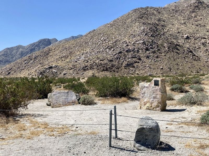
Angel Cove
Shiprock
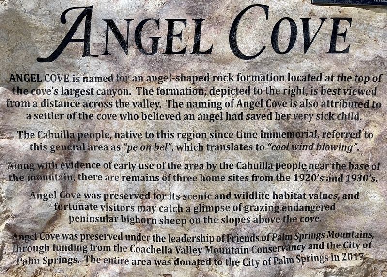
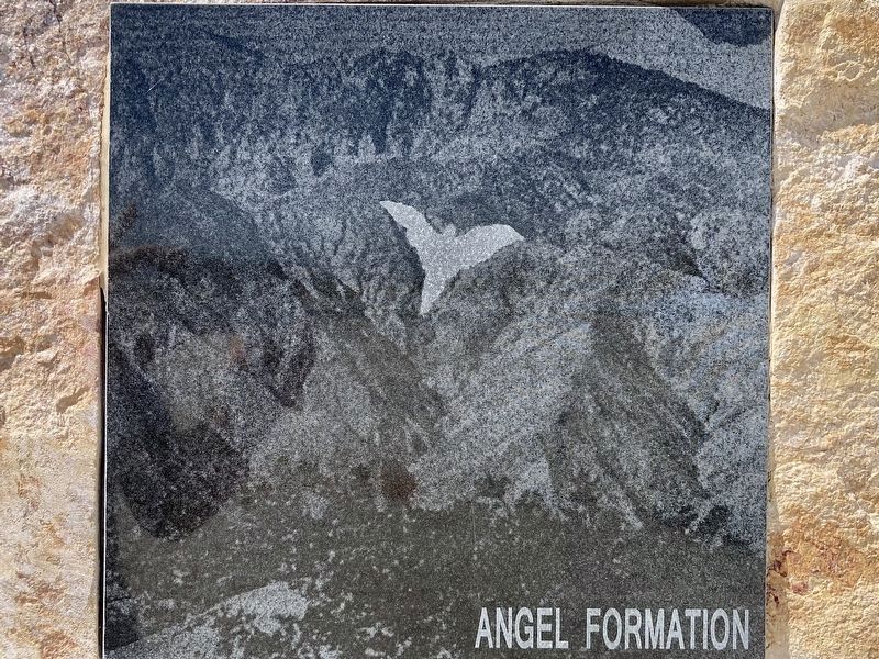
Angel Cove is named for an angel-shaped rock formation located at the top of the cove's largest canyon. The formation, depicted to the right, is best viewed from a distance across the valley. The naming of Angel Cove is also attributed to a settler of the cove who believed an angel had saved her very sick child.
The Cahuilla people, native to this region since time immemorial, referred to this general area as "pe on bel", which translates to "cool wind blowing". Along with evidence of early use of the area by the Cahuilla people near the base of the mountain, there are remains of three home sites from the 1920's and 1930's.
Angel Cove was preserved for its scenic and wildlife habitat values, and fortunate visitors may catch a glimpse of grazing endangered peninsular bighorn sheep on the slopes above the cove.
Angel Cove was preserved under the leadership of Friends of Palm Springs Mountains, through funding from the Coachella Valley Mountain Conservancy and the City of Palm Springs. The entire area was donated to the City of Palm Springs in 2017.
Shiprock
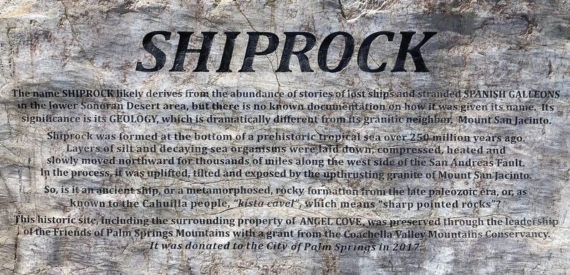
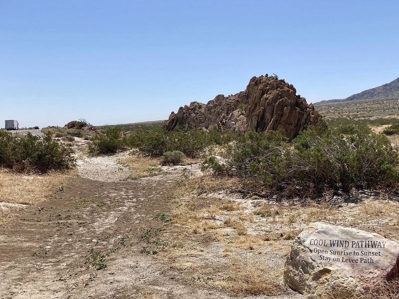
The name Shiprock likely derives from the abundance of stories of fast ships and stranded Spanish Galleons in the lower Sonoran Desert area, but there is no known documentation on how it was given its name. Its significance is its geology, which is dramatically different from its granitic neighbor, Mount San Jacinto.
Shiprock was formed at the bottom of a prehistoric tropical sea over 250 million years ago. Layers of silt and decaying sea organisms were laid down, compressed, heated and slowly moved northward for thousands of miles along the west side of the San Andreas Fault. In the process, it was uplifted, tilted and exposed by the upthrusting granite of Mount San Jacinto. So, is it an ancient ship, or a metamorphosed, rocky formation from the late paleozoic era, or, as known to the Cahuilla people, "kista cavel", which means "sharp pointed rocks"?
This historic site, including the surrounding property of Angel Cove, was preserved through the leadership of the Friends of Palm Springs Mountains with a grant from the Coachella Valley Mountains Conservancy. It was donated to the City of Palm Springs in 2017.
Topics. This historical marker is listed in these topic lists: Native Americans • Settlements & Settlers.
Location. 33° 52.191′ N, 116° 34.659′ W. Marker is near Palm Springs, California, in Riverside County. Marker is on Palm Canyon Drive (California Route 111) 7 miles south of Interstate 10, on the right when traveling south. Touch for map. Marker is in this post office area: Palm Springs CA 92262, United States of America. Touch for directions.
Other nearby markers. At least 8 other markers are within 3 miles of this marker, measured as the crow flies. Tramway Gas Station (approx. 1.4 miles away); Heroic Veterans (approx. 1.4 miles away); The Paul H. Dougherty Residence (approx. 1.9 miles away); Hamrick House (approx. 1.9 miles away); The Hollywood House - 1966 (approx. 2.1 miles away); The Arches - 1969 (approx. 2.1 miles away); Loewy House (approx. 2.2 miles away); Original Cabin #2 (approx. 3.1 miles away). Touch for a list and map of all markers in Palm Springs.
Credits. This page was last revised on September 22, 2023. It was originally submitted on September 17, 2023, by Craig Baker of Sylmar, California. This page has been viewed 102 times since then and 46 times this year. Photos: 1, 2, 3, 4, 5. submitted on September 17, 2023, by Craig Baker of Sylmar, California.
