La Quinta in Riverside County, California — The American West (Pacific Coastal)
The Bradshaw Trail / Point Happy
Circa 1862
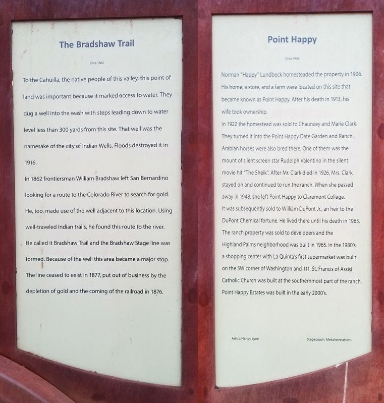
In 1862 frontiersman William Bradshaw left San Bernardino looking for a route to the Colorado River to search for gold. He, too, made use of the well adjacent to this location. Using well-traveled Indian trails, he found this route to the river. He called it Bradshaw Trail and the Bradshaw Stage line was formed. Because of the well this area became a major stop. The line ceased to exist in 1877, put out of business by the depletion of gold and the coming of the railroad in 1876.
Circa 1906
In 1922 the homestead was sold to Chauncey and Marie Clark. They turned it into the Point Happy Date Garden and Ranch. Arabian horses were also bred there. One of them was the mount of silent screen star Rudolph Valentino in the silent movie hit “The Sheik”. After Mr. Clark died in 1926, Mrs. Clark stayed on and continued to run the ranch. When she passed away in 1948, she left Point Happy to Claremont College. It was subsequently sold to William DuPont Jr., an heir to the DuPont Chemical fortune. He lived there until his death in 1965. The ranch property was sold to developers and the Highland Palms neighborhood was built in 1965. In the 1980’s a shopping center with La Quinta’s first supermarket was built on the SW corner of Washington and 111. St. Francis of Assisi Catholic Church was built at the southernmost part of the ranch. Point Happy Estates was built in the early 2000’s.
Topics. This historical marker is listed in these topic lists: Native Americans • Settlements & Settlers. A significant historical year for this entry is 1916.
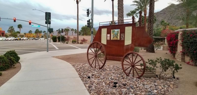
Location. 33° 42.771′ N, 116° 17.703′ W. Marker is in La Quinta, California, in Riverside County. Marker is at the intersection of Washington Street and Point Happy Way, on the right when traveling south on Washington Street. Touch for map. Marker is in this post office area: La Quinta CA 92253, United States of America. Touch for directions.
Other nearby markers. At least 8 other markers are within 5 miles of this marker, measured as the crow flies. Carl G. Bray, Smoke Tree Painter (approx. 0.9 miles away); Eisenhower Mountain (approx. 2˝ miles away); Indian Wells (approx. 2˝ miles away); Dwight David Eisenhower (approx. 2.6 miles away); Eisenhower Walk of Honor (approx. 2.6 miles away); Palm Springs Land and Irrigation Company (approx. 2.7 miles away); Jimmy Swaggart's "Date" (approx. 3.8 miles away); USS Liberty Tree - USN Captain William L. McGonagle (approx. 4.2 miles away).
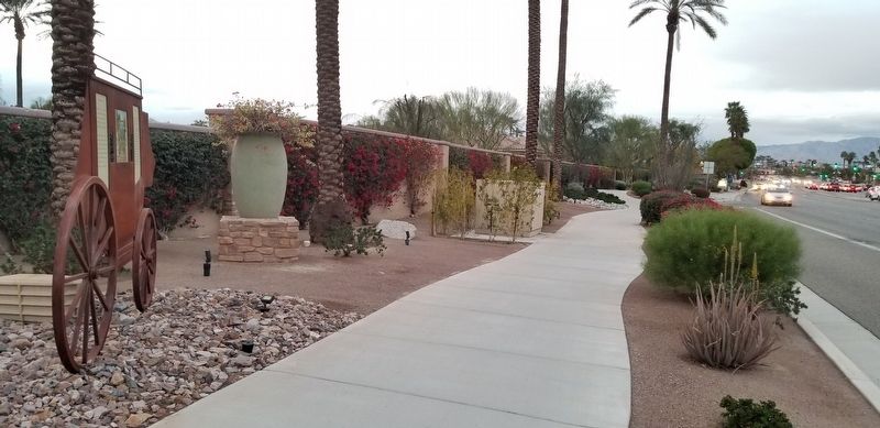
More about this marker. Visitors to this marker traveling by car will need to park across the street in the shopping plaza area and walk across the street to this marker location.
Credits. This page was last revised on October 2, 2023. It was originally submitted on September 17, 2023, by Douglass Halvorsen of Klamath Falls, Oregon. This page has been viewed 71 times since then and 21 times this year. Photos: 1, 2, 3. submitted on September 17, 2023, by Douglass Halvorsen of Klamath Falls, Oregon. • Devry Becker Jones was the editor who published this page.


