Richmond in Wayne County, Indiana — The American Midwest (Great Lakes)
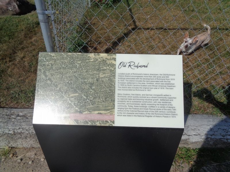
Old Richmond
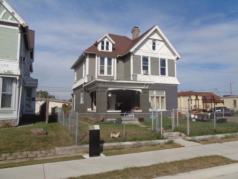
Many Quakers, free blacks, and German immigrants settled in Richmond, which quickly evolved as a vibrant community supported by regional trade and booming industrial growth. Settlement and prosperity led to substantial construction, with new residences, churches, and businesses rapidly expanding the footprint of the community. Today, these buildings--outfitted in a variety of designs ranging from the Federal and Greek Revival styles of the early 19th century to the Colonial Revival style of the 20th century--contribute to the rich character and history of the Old Richmond Historic District, which was listed in the National Register of Historic Places in 1974.
Topics. This historical marker is listed in these topic lists: Immigration • Settlements & Settlers. A significant historical year for this entry is 1819.
Location. 39° 49.578′ N, 84° 53.43′ W. Marker is in Richmond, Indiana, in Wayne County. Marker is on South 9th Street (U.S. 27) north of South B Street, on the left when traveling north. Touch for map. Marker is at or near this postal address: 124 S 9th St, Richmond IN 47374, United States of America. Touch for directions.
Other nearby markers. At least 8 other markers are within walking distance of this marker. Esther G. White (within shouting distance of this marker); Camp Wayne (about 400 feet away, measured in a direct line); C. Francis Jenkins (approx. 0.2 miles away); Bishop William Paul Quinn (approx. 0.2 miles away); Sailor Street (approx. ¼ mile away); German Heritage (approx. ¼ mile away); 1968 Downtown Richmond Explosion (approx. 0.3 miles away); Mendenhall-Clay Debate / Confrontation (approx. 0.3 miles away). Touch for a list and map of all markers in Richmond.
Credits. This page was last revised on September 18, 2023. It was originally submitted on September 17, 2023, by Jason Voigt of Glen Carbon, Illinois. This page has been viewed 68 times since then and 23 times this year. Photos: 1, 2. submitted on September 17, 2023, by Jason Voigt of Glen Carbon, Illinois.

