Southwest Raleigh in Wake County, North Carolina — The American South (South Atlantic)
The Governor Morehead School
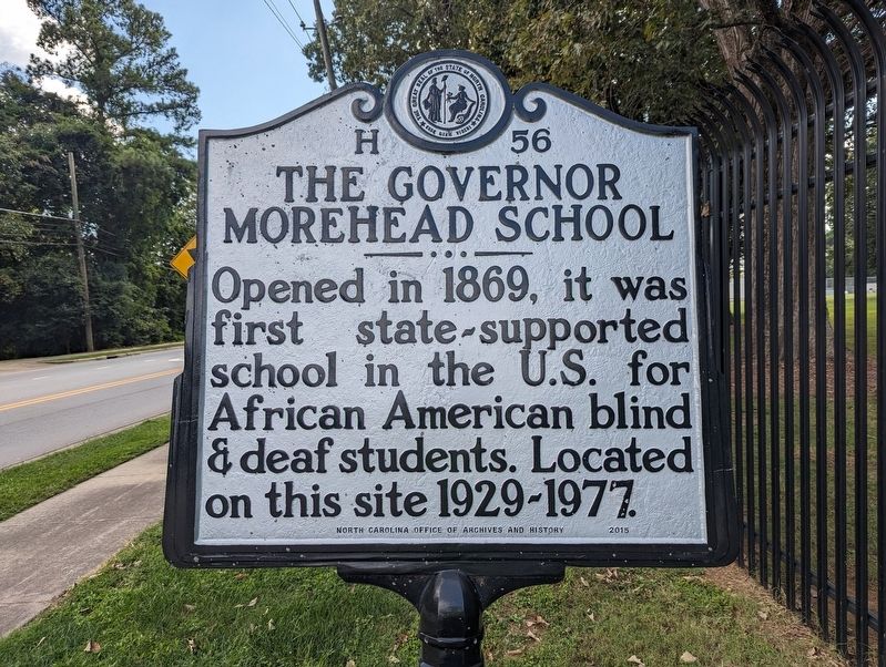
Photographed by Mike Wintermantel, September 19, 2023
1. The Governor Morehead School Marker
Erected 2015 by North Carolina Office of Archives and History. (Marker Number H-56.)
Topics. This historical marker is listed in these topic lists: African Americans • Education. A significant historical year for this entry is 1869.
Location. 35° 44.021′ N, 78° 37.683′ W. Marker is in Raleigh, North Carolina, in Wake County. It is in Southwest Raleigh. It is on Garner Road 0.1 miles south of Wilson Road, on the right when traveling south. Touch for map. Marker is at or near this postal address: 3320 Garner Road, Raleigh NC 27610, United States of America. Touch for directions.

Regionally, this marker is in North Carolina’s Piedmont and in the Research Triangle. It is also in the American South and specifically in the Upper South. Globally, it is in North America, the Western Hemisphere, the Western World, and the Anglosphere. Historically, it finds itself in what was once the territory of the Mississippian Culture, one of the original Thirteen Colonies, one
this page online
Other nearby markers. At least 8 other markers are within 3 miles of this marker, measured as the crow flies: Historic Hillcrest Cemetery (approx. 1½ miles away); Fall of Raleigh (approx. 1.8 miles away); Garner Historic District (approx. 2.3 miles away); Mount Hope Cemetery (approx. 2.3 miles away); Student Nonviolent Coordinating Committee (approx. 2.6 miles away); John Chavis (approx. 2.6 miles away); Leonard Medical School (approx. 2.6 miles away); Estey Hall (approx. 2.7 miles away). Touch for a list and map of all markers in Raleigh.
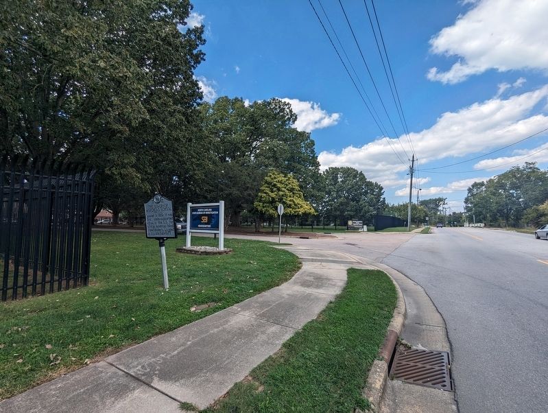
Photographed by Mike Wintermantel, September 19, 2023
2. The Governor Morehead School Marker
Credits. This page was last revised on September 19, 2023. It was originally submitted on September 19, 2023, by Mike Wintermantel of Pittsburgh, Pennsylvania. This page has been viewed 371 times since then and 36 times this year. Photos: 1, 2. submitted on September 19, 2023, by Mike Wintermantel of Pittsburgh, Pennsylvania.
