Williamsburg in Whitley County, Kentucky — The American South (East South Central)
Bon Jellico

Photographed by Tom Bosse, September 15, 2023
1. Bon Jellico Marker
One-half mile northwest is the site of the Bon Jellico coal mine and camp, which operated from 1912-1937. While kneeling or sitting, miners dug the 24-40 inch coal seam with mostly picks and shovels. A total of 350 miners worked here. The annual production of nearly 100,000 tons of Blue Gem coal was sent via the L&N Railroad spur line to Savoy. Over.
Reverse
The camp included 75 houses, a three-room school that also served as a church, and a company store. Although the mine had electricity, there was no plumbing or electricity in the homes, school, or store. During its 25-year history, around 1,500 people lived in Bon Jellico, among them teachers, students, quilters, and homemakers. The mine was closed mostly due to depletion of the coal.
Erected 2016 by Kentucky Historical Society and Kentucky Department of Highways. (Marker Number 2501.)
Topics. This historical marker is listed in this topic list: Industry & Commerce. A significant historical year for this entry is 1912.
Location. 36° 43.339′ N, 84° 11.563′ W. Marker is in Williamsburg, Kentucky, in Whitley County. It is at the intersection of Kentucky Route 92
this page online

Regionally, this marker is in Eastern Kentucky and in the Cumberland Plateau. It is also in the American South, specifically in the Upper South, in Appalachia, and specifically in Southern Appalachia. Globally, it is in North America, the Western Hemisphere, the Western World, and the Anglosphere. Historically, it finds itself in what was once the territory of the Mississippian Culture and also the Antebellum South.
Other nearby markers. At least 8 other markers are within 3 miles of this marker, measured as the crow flies: Historic Williamsburg (approx. 1.6 miles away); Roy Martis Chappell (approx. 1.7 miles away); Cumberland College (approx. 1.8 miles away); Roburn Hall (approx. 1.9 miles away); Clyde V. and Patricia Bennett Building (approx. 2 miles away); "Aunt Julia" Marcum (approx. 2.3 miles away); Scott's Raid (approx. 2.3 miles away); County Named, 1818 (approx. 2.3 miles away). Touch for a list and map of all markers

Photographed by Tom Bosse, September 15, 2023
2. Bon Jellico Marker Reverse
Other markers no longer nearby. Gillespie Hall (was approx. 1.9 miles away but has been confirmed missing); Mahan Hall (was approx. 2 miles away but has been confirmed missing).
Also see . . .
1. Bon Jellico, Kentucky. (Submitted on September 19, 2023, by Tom Bosse of Jefferson City, Tennessee.)
2. Bon Jellico, Kentucky. (Submitted on April 14, 2025, by Tom Bosse of Jefferson City, Tennessee.)

Photographed by Tom Bosse, September 15, 2023
3. Bon Jellico Marker
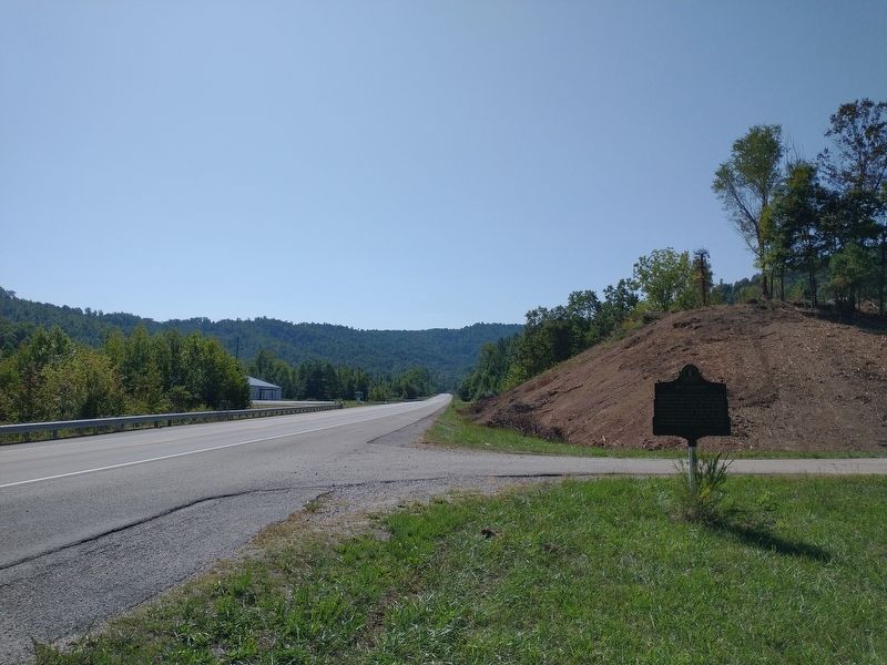
Photographed by Tom Bosse, September 15, 2023
4. Bon Jellico Marker
Credits. This page was last revised on April 26, 2025. It was originally submitted on September 19, 2023, by Tom Bosse of Jefferson City, Tennessee. This page has been viewed 685 times since then and 114 times this year. Photos: 1, 2, 3, 4. submitted on September 19, 2023, by Tom Bosse of Jefferson City, Tennessee. • James Hulse was the editor who published this page.
