Mammoth Cave in Edmonson County, Kentucky — The American South (East South Central)
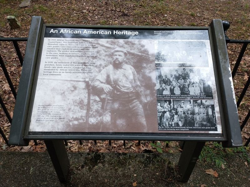
An African American Heritage
In 1939, the retirement of Mat Bransford’s great-grandson Louis, ended 101 years of unbroken family cave guide service, a profession long dominated by African Americans. Today, the heritage lives on as family relatives live in the local community.
[Captions]: Stephen Bishop’s grand-nephew, Ed Bishop, was an accomplished cave guide. He discovered several cave passages with German cartographer Max Kamper in 1908 and 1909, leading to the creation of one of the most famous Mammoth Cave maps.
Cave guide William Garvin and his wife, Hannah Bransford, lived on this small farmstead with walking distance of Mammoth Cave.
Many cave guide descendants attended Mammoth Cave School. Former students worked as teachers, loggers, farmers, and musicians.
By the 1930s, the predominantly African American cave guide work force was becoming more integrated.
Erected by National Park Service, U.S. Department of the Interior.
Topics. This historical marker is listed in these topic lists: African Americans • Parks & Recreational Areas. A significant historical year for this entry is 1839.
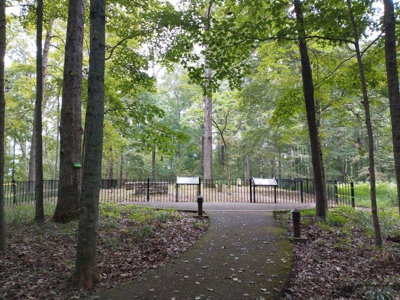
Location. 37° 11.206′ N, 86° 6.316′ W. Marker is in Mammoth Cave, Kentucky, in Edmonson County. Marker can be reached from Mammoth Cave Pkwy west of Beaver Dam Chapel Road. The marker is located in front of the Old Guide's Cemetery within Mammoth Cave National Park along the Heritage Trail. Touch for map. Marker is at or near this postal address: 1 Mammoth Cave Pkwy, Mammoth Cave KY 42259, United States of America. Touch for directions.
Other nearby markers. At least 8 other markers are within walking distance of this marker. The Great War Monuments (about 600 feet away, measured in a direct line); Mammoth Cave National Park (approx. ¼ mile away); Stephen Tyng Mather (approx. ¼ mile away); Old Riverboat Landing (approx. ¼ mile away); World Treasure Saved (approx. ¼ mile away); Old Guide's Cemetery (approx. ¼ mile away); Engine No. 4 (approx. 0.4 miles away); The Mammoth Cave Railroad (approx. 0.4 miles away). Touch for a list and map of all markers in Mammoth Cave.
Credits. This page was last revised on September 23, 2023. It was originally submitted on September 21, 2023, by Tom Bosse of Jefferson City, Tennessee. This page has been viewed 67 times since then and 14 times this year. Photos: 1, 2. submitted on September 21, 2023, by Tom Bosse of Jefferson City, Tennessee. • James Hulse was the editor who published this page.

