Mammoth Cave in Edmonson County, Kentucky — The American South (East South Central)
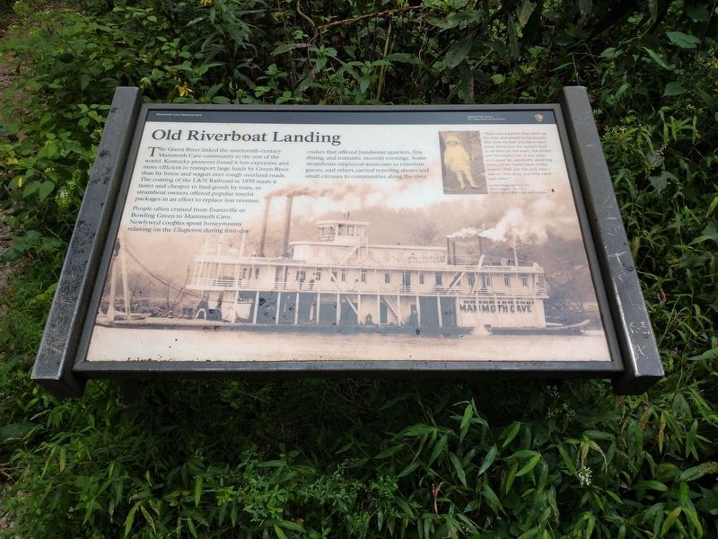
Old Riverboat Landing
People often cruised from Evansville or Bowling Green to Mammoth Cave. Newlywed couples spent honeymoons relaxing on the Chaperon during four-day cruises that offered handsome quarters, fine dining, and romantic moonlit evenings. Some steamboats employed musicians to entertain guests, and others carried traveling shows and small circuses to communities along the river.
[Caption]: “There was a packet that came up the river and would bring tourists. One time my Dad and Mom were down there and the captain took us all through the boat. The motor just fascinated me. It was clean as it could be, absolutely sparkling clean, all the metal parts of the engine. That was the only time I was on that boat, but they came real often.”
Louise Ferguson Hanson
Born August 16, 1912
Grew up on the ridge behind you.
Erected by National Park Service, U.S. Department of the Interior.
Topics. This historical marker is listed in these topic lists: Railroads & Streetcars • Waterways & Vessels. A significant historical date for this entry is August 16, 1912.
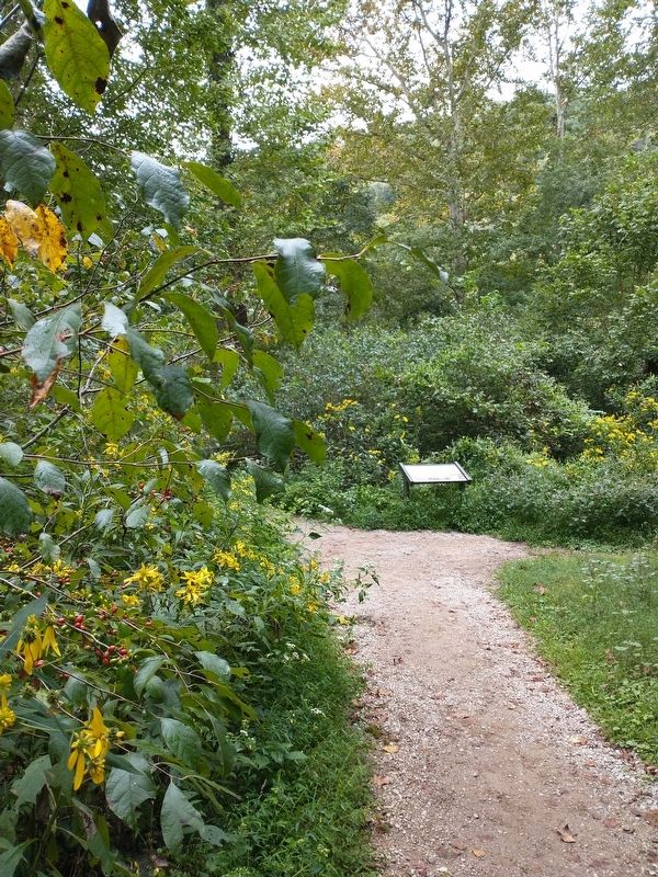
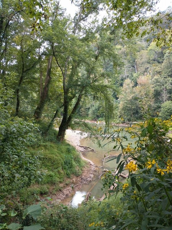
Location. 37° 11.258′ N, 86° 6.584′ W. Marker is in Mammoth Cave, Kentucky, in Edmonson County. Marker can be reached from Mammoth Cave Parkway, half a mile west of Beaver Dam Chapel Road. The marker is located in the Mammoth Cave National Park along the River Styx Spring Trail at the Green River Bluffs Trail. Touch for map. Marker is in this post office area: Mammoth Cave KY 42259, United States of America. Touch for directions.
Other nearby markers. At least 8 other markers are within walking distance of this marker. An African American Heritage (approx. ¼ mile away); The Great War Monuments (approx. 0.3 miles away); Mammoth Cave National Park (approx. half a mile away); Stephen Tyng Mather (approx. half a mile away); Old Guide's Cemetery (approx. half a mile away); World Treasure Saved (approx. half a mile away); Engine No. 4 (approx. 0.6 miles away); The Mammoth Cave Railroad (approx. 0.6 miles away). Touch for a list and map of all markers in Mammoth Cave.
Credits. This page was last revised on September 24, 2023. It was originally submitted on September 21, 2023, by Tom Bosse of Jefferson City, Tennessee. This page has been viewed 72 times since then and 20 times this year. Photos: 1, 2, 3. submitted on September 21, 2023, by Tom Bosse of Jefferson City, Tennessee. • James Hulse was the editor who published this page.


