Near Coatesville in Putnam County, Indiana — The American Midwest (Great Lakes)
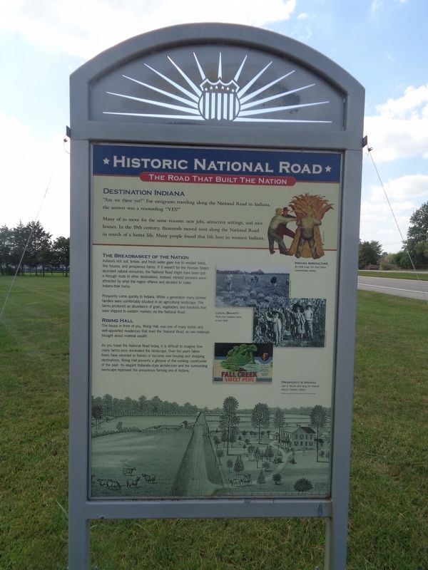
Destination Indiana
Historic National Road / Make History, Drive It
— The Road That Built the Nation —
Many of us move for the same reasons: new jobs, attractive settings, and nice houses. In the 19th century, thousands moved west along the National Road in search of a better life. Many people found that life here in western Indiana.
The Breadbasket of the Nation
Indiana's rich soil, timber, and fresh water gave rise to verdant fields, fine houses, and prosperous farms. If it weren't for the Hoosier State's abundant natural resources, the National Road might have been just a through route to other destinations. Instead, intrepid pioneers were attracted by what the region offered and decided to make Indiana their home.
Prosperity came quickly to Indiana. Within a generation many pioneer families were comfortably situated in an agricultural landscape. The farms produced an abundance of grain, vegetables, and livestock that were shipped to eastern markets via the National Road.
Rising Hall
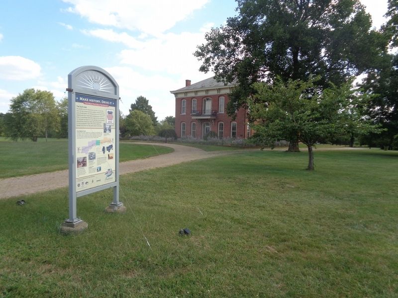
The house in front of you, Rising Hall, was one of many stylish and well-appointed residences that lined the National Road, as raw materials brought about material wealth.
As you travel the National Road today, it is difficult to imagine how many farms once dominated the landscape. Over the years fallow fields have returned to forests or become new housing and shopping destinations. Rising Hall presents a glimpse of the working countryside of the past. Its elegant Italianate-style architecture and the surrounding landscape represent the prosperous farming era of Indiana.
(reverse:)
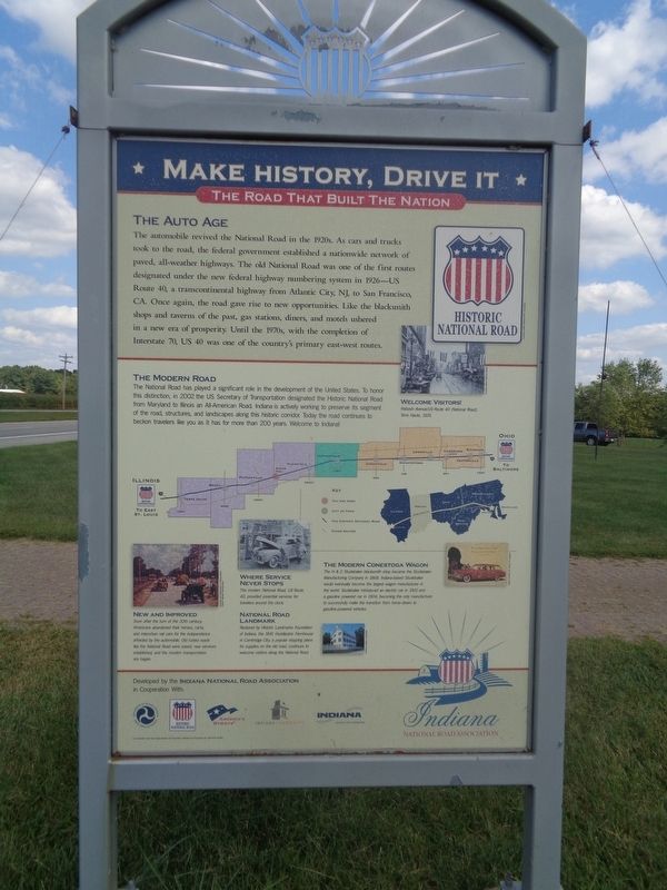
The Auto Age
The automobile revived the National Road in the 1920s. As cars and trucks took to the road, the federal government established a nationwide network of paved, all-weather highways. The old National Road was one of the first routes designated under the new federal highway numbering system in 1926—US Route 40, a transcontinental highway from Atlantic City, NJ, to San Francisco, CA. Once again, the road gave rise to new opportunities. Like the blacksmith shops and taverns of the past, gas stations, diners, and motels ushered in a new era of prosperity. Until the 1970s, with the completion of Interstate 70, US 40 was one of the country's primary east-west routes.
The Modern Road
The National Road has played a significant role in the development of the United States. To honor this distinction, in 2002 the US Secretary of Transportation designated the Historic National Road from Maryland to Illinois an All-American Road. Indiana is actively working to preserve its segment of the road, structures,
and landscapes along this historic corridor. Today the road continues to beckon travelers like you as it has for more than 200 years. Welcome to Indiana!
New and Improved
Soon after the turn of the 20th century, Americans abandoned their horses, carts, and interurban rail cars for the independence afforded by the automobile. Old rutted roads like the National Road were paved, new services established, and the modern transportation era began.
Where Service Never Stops
The modern National Road, US Route 40, provided essential services for travelers around the clock.
National Road Landmark
Restored by Historic Landmarks Foundation of Indiana, the 1841 Huddleston Farmhouse in Cambridge City, a popular stopping place for supplies on the old road, continues to welcome visitors along the National Road.
The Modern Conestoga Wagon
The H&C Studebaker blacksmith shop became the Studebaker Manufacturing Company in 1868. Indiana-based Studebaker would eventually become the largest wagon manufacturer in the world. Studebaker introduced an electric car in 1902 and a gasoline powered car in 1904, becoming the only manufacturer to successfully make the transition from horse-drawn to gasoline-powered vehicles.
Erected 2012 by Indiana National Road Association.
Topics and series. This historical marker is listed in these topic lists: Architecture • Roads & Vehicles • Settlements & Settlers. In addition, it is included in the The Historic National Road series list. A significant historical year for this entry is 2002.
Location. 39° 37.814′ N, 86° 39.66′ W. Marker is near Coatesville, Indiana, in Putnam County. Marker is on U.S. 40 east of Indiana Route 240, on the right when traveling east. Marker is in front of Rising Hall. Touch for map. Marker is at or near this postal address: 10474 US-40, Coatesville IN 46121, United States of America. Touch for directions.
Other nearby markers. At least 8 other markers are within 11 miles of this marker, measured as the crow flies. Arthur L. Trester (approx. 4.7 miles away); T.H.I.&E. Interurban Depot Building (approx. 4.7 miles away); McCormack-Bowman House (approx. 5˝ miles away); Hillis Bridge (approx. 10.2 miles away); Monrovia High School (approx. 10.3 miles away); The U.N. Tree (approx. 10.3 miles away); Branch McCracken (approx. 10.3 miles away); Hubbard Mill (approx. 10˝ miles away).
Credits. This page was last revised on January 14, 2024. It was originally submitted on September 22, 2023, by Jason Voigt of Glen Carbon, Illinois. This page has been viewed 57 times since then and 18 times this year. Photos: 1, 2, 3. submitted on September 22, 2023, by Jason Voigt of Glen Carbon, Illinois.


