Perth East in Perth County, Ontario — Central Canada (North America)
Fryfogel’s Inn
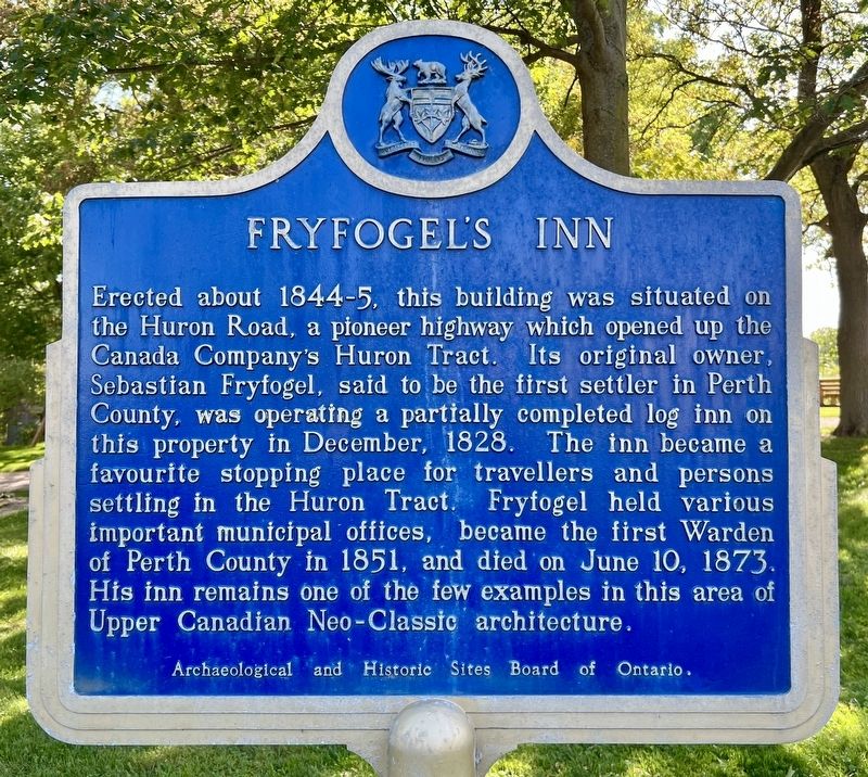
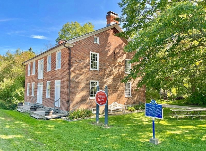
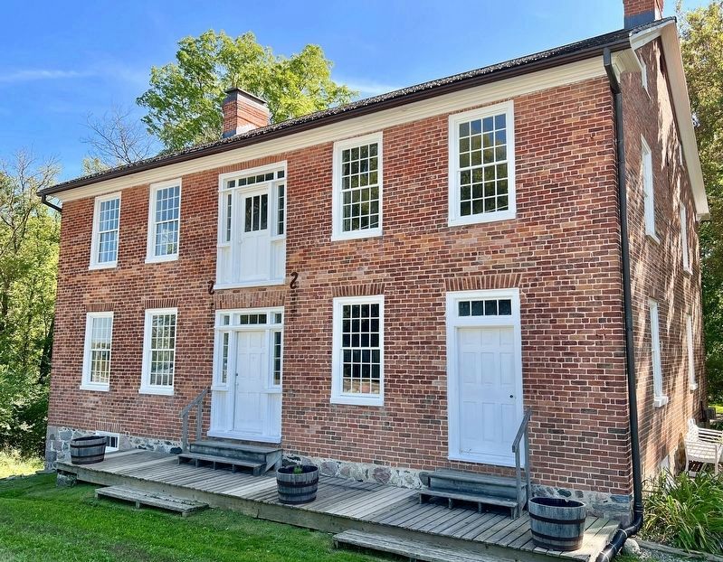
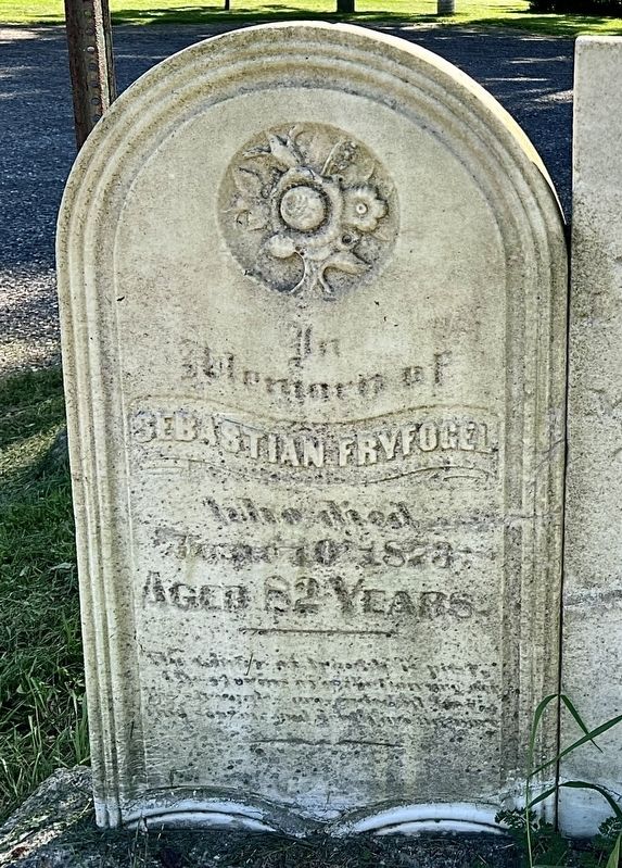
Erected about 1844-5, this building was situated on the Huron Road, a pioneer highway which opened up the Canada Company's Huron Tract. Its original owner, Sebastian Fryfogel, said to be the first settler in Perth County, was operating a partially completed log inn on this property in December, 1828. The inn became a favourite stopping place for travellers and persons settling in the Huron Tract. Fryfogel held various important municipal offices, became the first Warden of Perth County in 1851, and died on June 10, 1873. His inn remains one of the few examples in this area of Upper Canadian Neo-Classic architecture.
Archaeological and Historic Sites Board of Ontario.
Erected by Archaeological and Historic Sites Board of Ontario.
Topics and series. This historical marker is listed in these topic lists: Architecture • Industry & Commerce • Roads & Vehicles • Settlements & Settlers. In addition, it is included in the Canada, Ontario Heritage Foundation series list. A significant historical year for this entry is 1845.
Location. 43° 22.147′ N, 80° 48.176′ W. Marker is in Perth East, Ontario, in Perth County. Marker is on Line 34 (Hwy 8), 2.8 kilometers east of Perth Road 107, on the right when traveling west . Touch for map. Marker is at or near this postal address: 1931 Line 34, Perth East ON N0B 2P0, Canada. Touch for directions.
Other nearby markers. At least 4 other markers are within 14 kilometers of this marker, measured as the crow flies. Huron Road (within shouting distance of this marker); Hartman Bridge (approx. 7.4 kilometers away); Stratford City Hall / L’hôtel de Ville de Stratford (approx. 14.5 kilometers away); City Hall (approx. 14.5 kilometers away).
Also see . . . Historic places.ca - Fryfogel's Tavern.
Fryfogel's Tavern is associated with the earliest European settlement of what was known as the Canada Company's 'Huron Tract'. This was an immense tract of land that included Perth County and all of the property between Guelph and Goderich. Constructed by the county's first settler, Sebastian Fryfogel, this building is situated on the Huron Road, a colonization road which bisected the tract, and marks the site of an earlier 1828 log tavern.(Submitted on September 23, 2023, by Tim Boyd of Hamilton, Ontario.)
Credits. This page was last revised on September 24, 2023. It was originally submitted on September 23, 2023, by Tim Boyd of Hamilton, Ontario. This page has been viewed 62 times since then and 19 times this year. Photos: 1, 2, 3, 4. submitted on September 23, 2023, by Tim Boyd of Hamilton, Ontario. • Andrew Ruppenstein was the editor who published this page.


