Headington in Oxford in Oxfordshire, England, United Kingdom — Northwestern Europe (the British Isles)
The English Civil War and Headington Hill Park
Inscription.
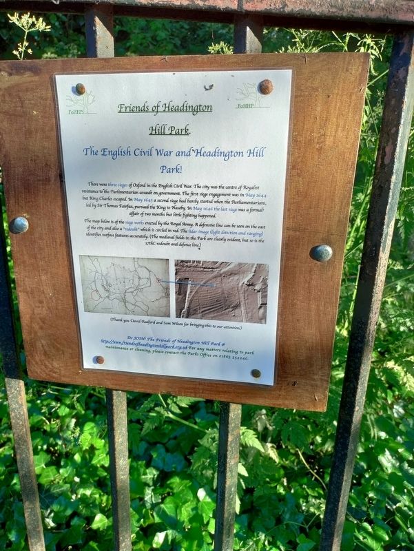
There were three sieges of Oxford in the English Civil War. The city was the centre of Royalist resistance to the Parlimentarian assault on government. The first siege engagement was in May 1644 but King Charles escaped. In May 1645 a second siege had barely started when the Parliamentarians, led by Sir Thomas Fairfax, pursued the King to Naseby. In May 1646 the last siege was a formal
affair of two months but little fighting happened.
The map below is of siege works erected by the Royal Army. A defensive line can be seen on the east of the city and also the "redoubt" which is circled in red. The lidar image (light detection and ranging) identifies surface features accurately. (The medieval fields in the Park are clearly evident, but so is the 17th C redoubt and defence line.)
(Thank you David Radford and Sam Wilson for bringing this to our attention.)
Erected by Friends of Headington Hill Park.
Topics. This historical marker is listed in this topic list: Wars, Non-US. A significant historical year for this entry is 1645.
Location. 51° 45.394′ N, 1° 13.883′ W. Marker is in Oxford, England, in Oxfordshire. It is in Headington. Marker can be reached from Cuckoo Lane. Touch for map. Marker is at or near this postal address: Cuckoo Lane, Oxford, England OX3 0FF, United Kingdom. Touch for directions.
Other nearby markers. At least 8 other markers are within 3 kilometers of this marker, measured as the crow flies. Victoria Fountain (approx. 1.1 kilometers away); The Plain & Magdalen Bridge (approx. 1.2 kilometers away); The Early University (approx. 1.6 kilometers away); Radcliffe Square (approx. 1.6 kilometers away); The High Street (approx. 1.7 kilometers away); George Claridge Druce (approx. 1.7 kilometers away); Christ Church (approx. 1.8 kilometers away); Great Jewry (approx. 1.9 kilometers away). Touch for a list and map of all markers in Oxford.
More about this marker. The marker is mounted to the fence along Cuckoo Lane.
Credits. This page was last revised on October 3, 2023. It was originally submitted on September 25, 2023, by Uri Mogilevsky of Jerusalem, Israel. This page has been viewed 58 times since then and 15 times this year. Photo 1. submitted on September 25, 2023, by Uri Mogilevsky of Jerusalem, Israel. • Andrew Ruppenstein was the editor who published this page.
