Oak Park Heights in Washington County, Minnesota — The American Midwest (Upper Plains)
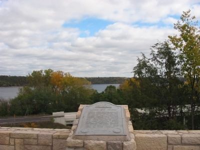
Lake St. Croix
Erected by State of Minnesota Department of Highways and The Minnesota Historical Society.
Topics and series. This historical marker is listed in this topic list: Waterways & Vessels. In addition, it is included in the Minnesota Historical Society series list.
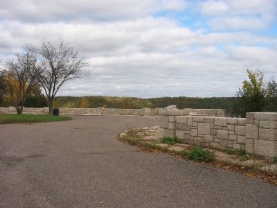
Location. 45° 2.434′ N, 92° 47.732′ W. Marker is in Oak Park Heights, Minnesota, in Washington County. Marker can be reached from Lookout Trail North, 0.3 miles south of Main Street South (Minnesota Highway 36 / 95), on the left when traveling south. Marker is at the Lake St. Croix Overlook near Peabody Avenue North. Touch for map. Marker is in this post office area: Stillwater MN 55082, United States of America. Touch for directions.
Other nearby markers. At least 8 other markers are within walking distance of this marker. Lake St. Croix Overlook (within shouting distance of this marker); St. Croix Crossing (approx. 0.4 miles away); Building a Bridge (approx. 0.4 miles away); Where's the State Boundary? (approx. half a mile away); Steamboats on the St. Croix (approx. half a mile away); White Pine Treaty (approx. half a mile away in Wisconsin); Samuel Bloomer (approx. 0.7 miles away); Migration (approx. 0.7 miles away in Wisconsin). Touch for a list and map of all markers in Oak Park Heights.
Also see . . . St. Croix River. (Submitted on February 15, 2009.)
Credits. This page was last revised on September 26, 2023. It was originally submitted on February 15, 2009, by Keith L of Wisconsin Rapids, Wisconsin. This page has been viewed 1,305 times since then and 14 times this year. Last updated on September 25, 2023, by McGhiever of Minneapolis, Minnesota. Photos: 1, 2, 3. submitted on February 15, 2009, by Keith L of Wisconsin Rapids, Wisconsin. • J. Makali Bruton was the editor who published this page.


