Near Ewing in Lee County, Virginia — The American South (Mid-Atlantic)
Brig. Gen. Joseph Martin
1740-1805
Photographed by Rev. Ronald Irick, September 12, 2023
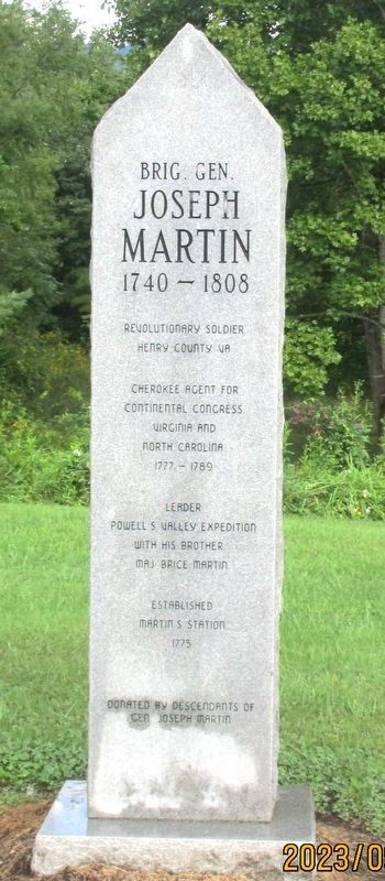
1. Brig Gen Joseph Martin 1740- 1805 Marker
Revolutionary Soldier
Henry County VA
Cherokee Agent for
Continental Congress
Virginia and North Carolina
1777- 1789
Leader
Powell’s Valley Expedition
with his brother
Maj Brice Martin
Established Martin Station 1775
The descendants of Joseph Martin
Erected by descendants of Joseph Martin.
Topics. This memorial is listed in these topic lists: Exploration • Settlements & Settlers • War, US Revolutionary. A significant historical year for this entry is 1805.
Location. 36° 37.956′ N, 83° 31.596′ W. Memorial is near Ewing, Virginia, in Lee County. It can be reached from the intersection of Wilderness Road (U.S. 58) and Baileytown Road (Virginia Route 690). Marker is in the Wilderness Road State Park at “Historic Martin Station”. Touch for map. Memorial is at or near this postal address: 8051 Wilderness Road Trail, Ewing VA 24248, United States of America. Touch for directions.

Regionally, this memorial is in Southwest Virginia. It is also in the American South, specifically in the Upper South, in Appalachia, and specifically in Southern Appalachia. Globally, it is in North America, the Western Hemisphere, the Western World, and the Anglosphere. Historically, it finds itself in what was once the original Cherokee Nation, the territory of the Mississippian Culture, one of the original Thirteen Colonies, one of the Confederate States of America, and the Antebellum South.
Other nearby markers. At least 8 other markers are within 7 miles of this marker, measured as the crow flies: Dedicated to the Memory of General Joseph Martin (within shouting distance of this marker); Pioneer Graves (approx. 1.2 miles away); Lee County Code Breakers (approx. 2.1 miles away); John Ball (approx. 4.1 miles away); White Rocks (approx. 4.7 miles away); Hiking Up to White Rocks (approx.
this page online
Photographed by Rev. Ronald Irick, September 12, 2023
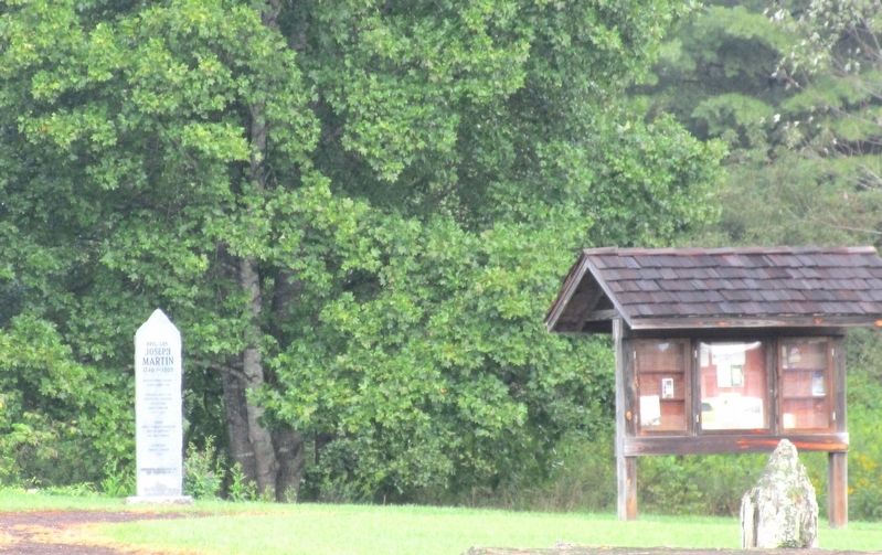
2. Brig Gen Joseph Martin 1740- 1805 Marker
full view of marker
Photographed by Rev. Ronald Irick, September 12, 2023
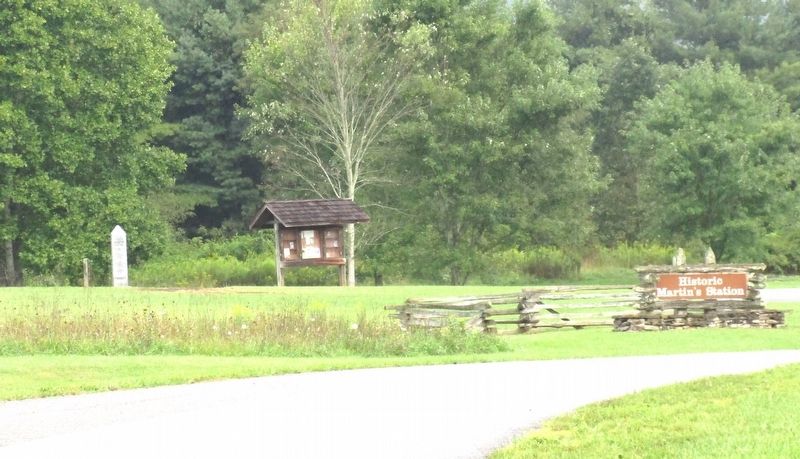
3. Brig Gen Joseph Martin 1740- 1805 Marker
Photographed by Rev. Ronald Irick, September 12, 2023
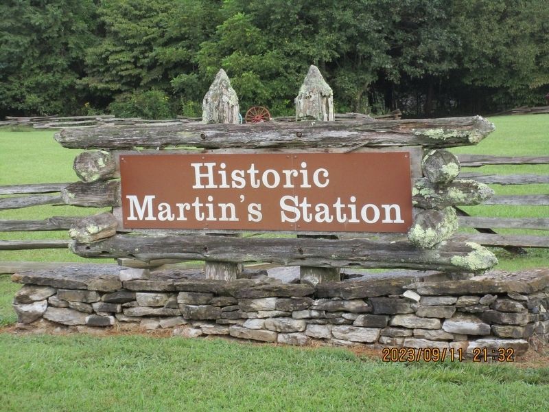
4. Brig Gen Joseph Martin 1740- 1805 Marker
Credits. This page was last revised on May 3, 2026. It was originally submitted on September 26, 2023, by Rev. Ronald Irick of West Liberty, Ohio. This page has been viewed 357 times since then and 36 times this year. Photos: 1, 2, 3, 4. submitted on September 26, 2023, by Rev. Ronald Irick of West Liberty, Ohio. • Andrew Ruppenstein was the editor who published this page.
