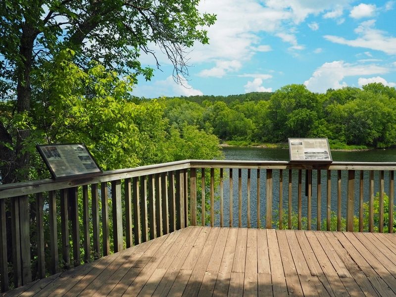
Wild River State Park near Almelund in Chisago County, Minnesota — The American Midwest (Upper Plains)
Timber!
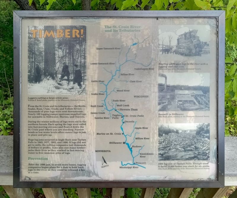
Loggers cutting a large white pine.
From the St. Croix and its tributaries—the Kettle, Snake, Rum, Clam, Trade, and Yellow Rivers—thousands of pine logs were sent downstream. Nearly 100 logging camps upstream supplies logs for sawmills in Stillwater, Marine, and Osceola.
During the winter millions of logs were cut in the northern forests. Each spring the logs were rolled into fast-moving streams and floated down the St. Croix past where you are standing. Narrow bends or low water levels often caused logs to jam in place and pile up.
Huge log jams occurred at Angle Rock near Taylors Falls in 1865, 1877, 1883, and 1886. If logs did not get to mills, the milling companies lost thousands of dollars in profits. Jams also cost many lumberjacks their lives as they worked in fast-moving water to free immense piles of logs.
Prevention
After the 1886 jam, to avoid more losses, logging companies began plans for a dam to hold back logs in the river so they could be released a few at a time.
Hauling white pine logs to the river with a logging sled and oxen.
Sawmill in Stillwater.
1886 log jam at Taylors Falls. Enough wood to build 15,000 homes was stuck for six weeks.
Erected by Minnesota Department of Natural Resources.
Topics. This historical marker is listed in these topic lists: Disasters • Industry & Commerce • Waterways & Vessels. A significant historical year for this entry is 1886.
Location. 45° 32.19′ N, 92° 43.584′ W. Marker is near Almelund, Minnesota, in Chisago County. It is in Wild River State Park. The marker is at the Old Nevers Dam Site, accessible via hiking trail from the picnic area. Touch for map. Marker is at or near this postal address: 37475 Park Trail, North Branch MN 55056, United States of America. Touch for directions.
Other nearby markers. At least 8 other markers are within 2 miles of this marker, measured as the crow flies. Nevers Dam (here, next to this marker); End of an Era (here, next to this marker); Bringing Back the Prairie (approx. 0.7 miles away); Who Was Here First? (approx. one mile away); Early Settlers (approx. 1.1 miles away); What Happened (approx. 1.1 miles away); What Was It Like (approx. 1.2 miles away); Military Road (approx. 1.2 miles away). Touch for a list and map of all markers in Almelund.
Credits. This page was last revised on September 27, 2023. It was originally submitted on September 26, 2023, by McGhiever of Minneapolis, Minnesota. This page has been viewed 57 times since then and 8 times this year. Photos: 1, 2. submitted on September 26, 2023, by McGhiever of Minneapolis, Minnesota. • J. Makali Bruton was the editor who published this page.

