Crediton in Huron County, Ontario — Central Canada (North America)
The Pioneers of Clinton
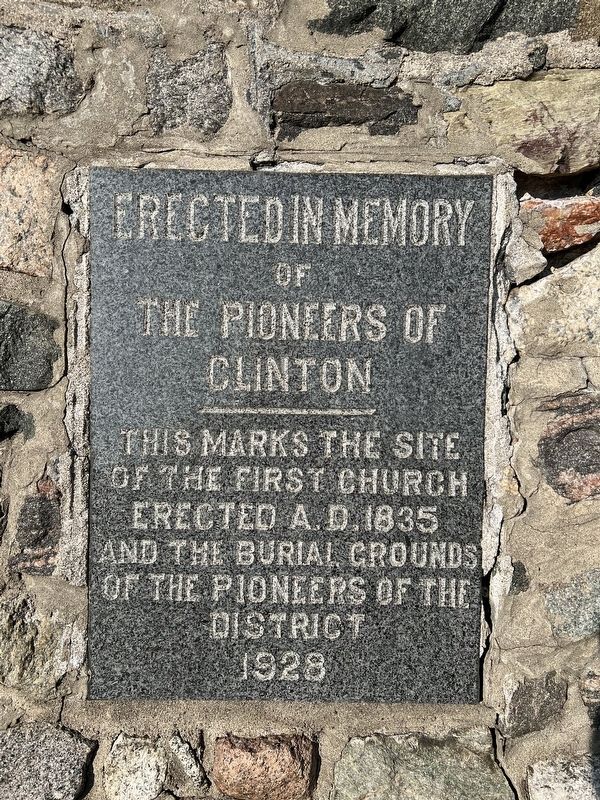
Photographed by Tim Boyd, September 22, 2023
1. The Pioneers of Clinton Marker
Erected in memory the Pioneers of Clinton
This marks the site of the first church erected A.D. 1835 and the burial grounds of the pioneers of the district
1928
Erected 1928.
Topics. This historical marker is listed in these topic lists: Cemeteries & Burial Sites • Religion & Religious Structures • Settlements & Settlers. A significant historical year for this entry is 1835.
Location. 43° 36.998′ N, 81° 32.291′ W. Marker is in Crediton, Ontario, in Huron County. It is on Ontario Street 0.2 kilometers east of Victoria Street, on the right when traveling west. The marker is in the community of Clinton, on the the grounds of St. Paul’s Anglican Church. Touch for map. Marker is at or near this postal address: 41 Hwy 8, Crediton ON N0M 1M0, Canada. Touch for directions.

Regionally, this marker is in the Huron-Perth-Waterloo-Wellington Area and in Southwestern Ontario. It is also in Central Canada. Globally, it is in North America, on the Great Lakes, in the Western Hemisphere, in the Western World, and in the Anglosphere. Historically, it finds itself in what was once a British colony,
this page online
Other nearby markers. At least 8 other markers are within 14 kilometers of this marker, measured as the crow flies: Horatio Emmons Hale (1817-1896) (within shouting distance of this marker); Dr. Robert Hamilton Coats 1874-1960 (approx. 0.3 kilometers away); The Slomans and the CNR School on Wheels / Les Sloman et le wagon-école du CN (approx. 1.2 kilometers away); Bell in Memory of Fred Sloman (approx. 1.2 kilometers away); The Green Bridge (approx. 7.8 kilometers away); Reverend William Graham (approx. 13.6 kilometers away); Colonel Anthony Van Egmond (approx. 13.6 kilometers away); Seaforth Firefighters (approx. 13.6 kilometers away).
Another marker is no longer nearby. Ball’s Bridge (was approx. 12.7 kilometers away but has been confirmed missing).
Also see . . . St. Paul’s Anglican Church.
In 1832, the first St Paul's was erected on a one acre parcel of land had been set aside by the Canada Company. The small frame building was crudely built, contained a few benches, and was poorly constructed. The building burned(Submitted on September 27, 2023, by Tim Boyd of Hamilton, Ontario.)in 1845.Photographed by Tim Boyd, September 22, 20232. The Pioneers of Clinton Marker
The second building was erected in 1856 on the land where the parish rectory now stands. Again it was a wooden frame structure, built to serve the community until a more substantial church could be erected. St. Paul's received its first permanent incumbent in 1859.
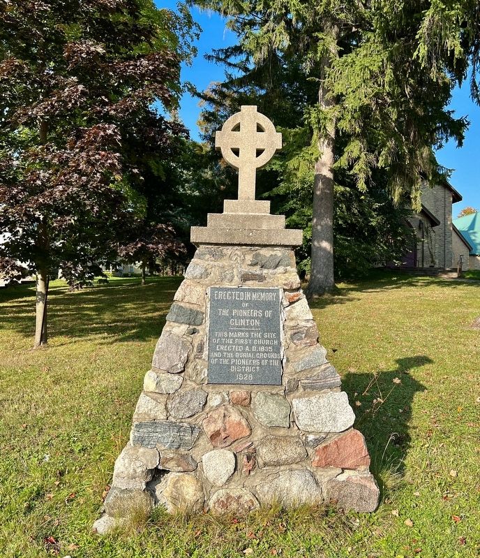
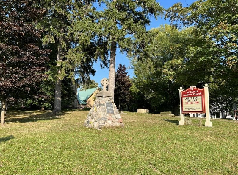
Photographed by Tim Boyd, September 22, 2023
3. The Pioneers of Clinton Marker
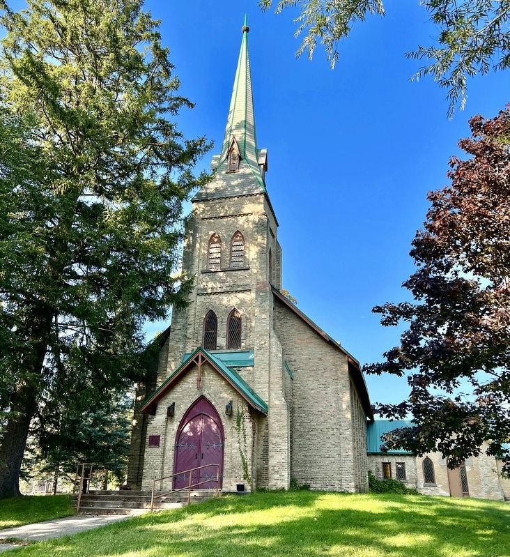
Photographed by Tim Boyd, September 22, 1934
4. St. Paul’s Anglican Church, Clinton
Credits. This page was last revised on March 21, 2025. It was originally submitted on September 27, 2023, by Tim Boyd of Hamilton, Ontario. This page has been viewed 373 times since then and 57 times this year. Photos: 1, 2, 3, 4. submitted on September 27, 2023, by Tim Boyd of Hamilton, Ontario. • Andrew Ruppenstein was the editor who published this page.
