Binnenstad in Utrecht, Netherlands — Northwestern Europe
Een Singel Rondom / A Defensive Canal All Around
— Singel Route —
Inscription.
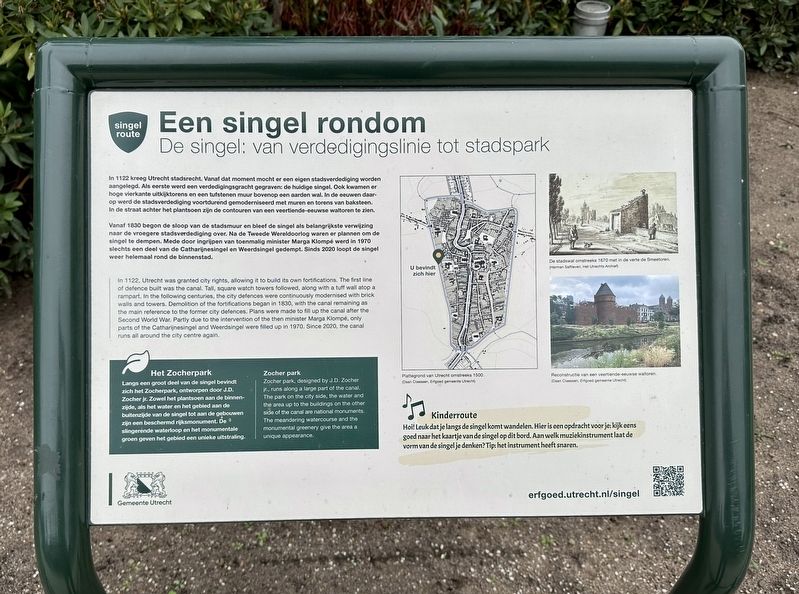
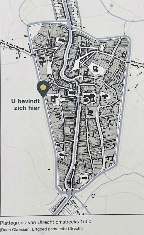
In 1122 kreeg Utrecht stadsrecht. Vanaf dat moment mocht er een eigen stadsverdediging worden aangelegd. Als eerste werd een verdedigingsgracht gegraven: de huidige singel. Ook kwamen er hoge vierkante uitkijktorens en een tufstenen muur bovenop een aarden wal. In de eeuwen daarop werd de stadsverdediging voortdurend gemoderniseerd met muren en torens van baksteen. In de straat achter het plantsoen zijn de contouren van een veertiende-eeuwse waltoren te zien.
Vanaf 1830 begon de sloop van de stadsmuur en bleef de singel als belangrijkste verwijzing naar de vroegere stadsverdediging over. Na de Tweede Wereldoorlog waren er plannen om de singel te dempen. Mede door ingrijpen van toenmalig minister Marga Klompé werd in 1970 slechts een deel van de Catharijnesingel en Weerdsingel gedempt. Sinds 2020 loopt de singel weer helemaal rond de binnenstad.
Het Zocherpark
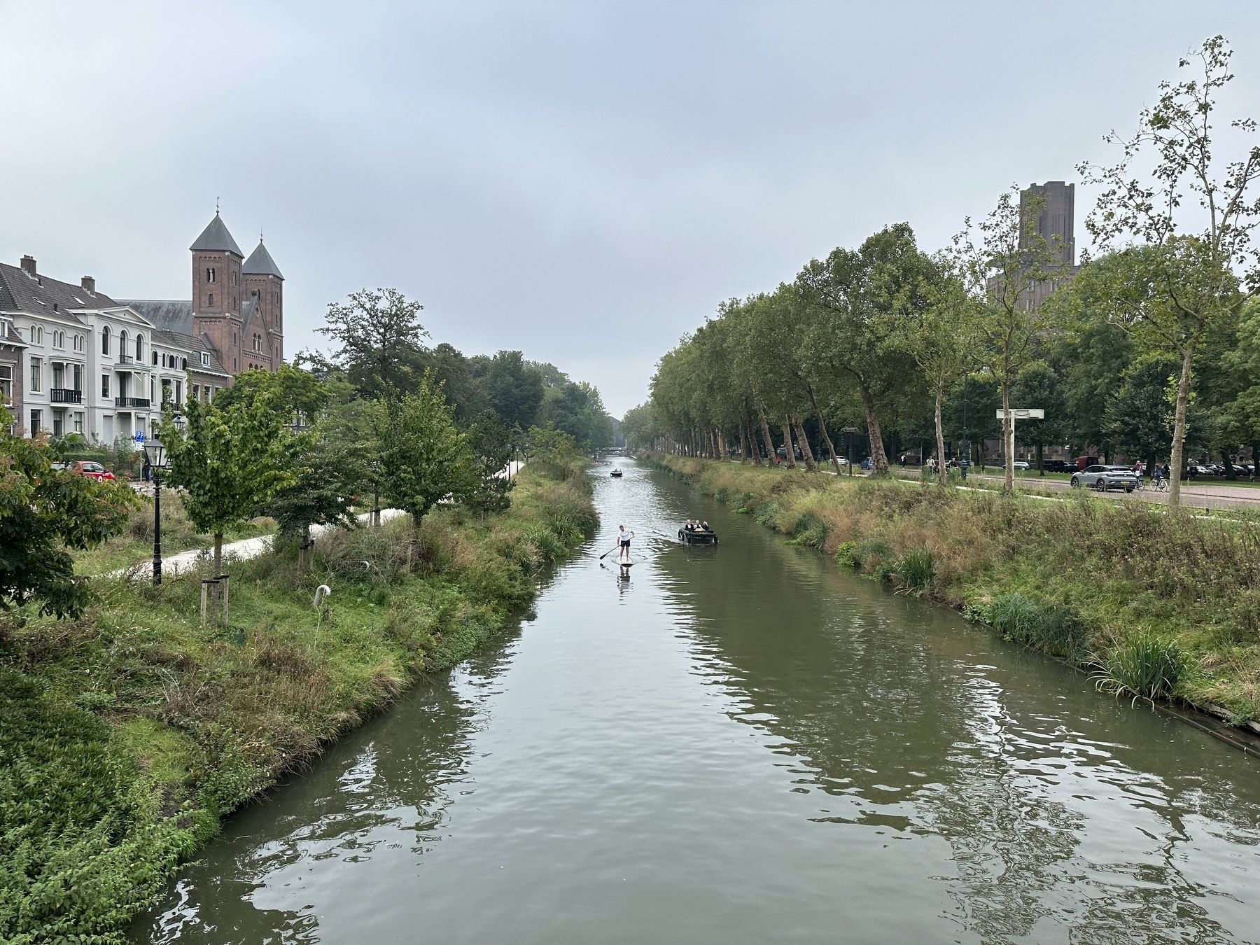
Langs een groot deel van de singel bevindt zich het Zocherpark, ontworpen door J.D. Zocher jr. Zowel het plantsoen aan de binnenzijde, als het water en het gebied aan de buitenzijde van de singel tot aan de gebouwen zijn een beschermd rijksmonument. De slingerende waterloop en het monumentale groen geven het gebied een unieke uitstraling.
—————-
The Canal: from defensive line to city park
In 1122, Utrecht was granted city rights, allowing it to build its own fortifications. The first line of defence built was the canal. Tall, square watch towers followed, along with a tuff wall atop a rampart. In the following centuries, the city defences were continuously modernised with brick walls and towers. Demolition of the fortifications began in 1830, with the canal remaining as the main reference to the former city defences. Plans were made to fill up the canal after the Second World War. Partly due to the intervention of the then minister Marga Klompé, only parts of the Catharijnesingel and Weerdsingel were filled up in 1970. Since 2020, the canal runs all around the city centre again.
Zocher park
Zocher park, designed by J.D. Zocher jr., runs along a large part of the canal. The park on the city side, the water and the area up to the buildings on the other side of the canal are national monuments. The meandering watercourse and the monumental greenery give the area a unique appearance.
Erected by Gemeente Utrecht.
Topics. This historical
marker is listed in these topic lists: Forts and Castles • Parks & Recreational Areas.
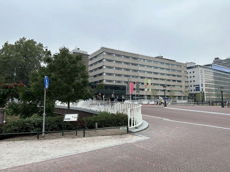
Location. 52° 5.362′ N, 5° 6.925′ E. Marker is in Utrecht. It is in Binnenstad. Marker is at the intersection of Rijnkade and Mariaplaats, on the right when traveling south on Rijnkade. Touch for map. Marker is in this post office area: Utrecht 3511 GD, Netherlands. Touch for directions.
Other nearby markers. At least 8 other markers are within walking distance of this marker. Congresgebouw De Vereeniging / Congress Building of “De Vereeniging” (about 90 meters away, measured in a direct line); Sociëteit De Vereeniging / “The Association” Society (about 90 meters away); Mariakerk / St. Mary's Church (about 90 meters away); Gebouw Voor Kunst En Wetenschappen / Arts and Science Building (about 150 meters away); Eloyen Gasthuis / Eloyen Almshouse (about 240 meters away); Het Duitse Huis / The German House (approx. 0.3 kilometers away); Het Vakwerkhuis / The Half-Timbered House (approx. 0.3 kilometers away); Fresenburg (approx. 0.3 kilometers away). Touch for a list and map of all markers in Utrecht.
Also see . . . Een Singel Rondom (Gemeente Utrecht, in Dutch). (Submitted on September 28, 2023.)
Credits. This page was last revised on December 31, 2023. It was originally submitted on September 28, 2023, by Andrew Ruppenstein of Lamorinda, California. This page has been viewed 43 times since then and 6 times this year. Photos: 1, 2, 3, 4. submitted on September 28, 2023, by Andrew Ruppenstein of Lamorinda, California.


