Grant in Washington County, Minnesota — The American Midwest (Upper Plains)
From Rails to Trails
— Brown's Creek State Trail —
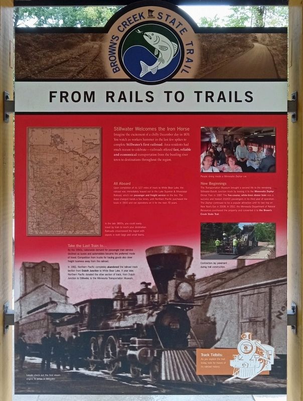
Stillwater Welcomes the Iron Horse
Imagine the excitement of a chilly December day in 1870. You watch as workers hammer in the last few spikes to complete Stillwater's first railroad. Area residents had much reason to celebrate—railroads offered fast, reliable and economical transportation from the bustling river town to destinations throughout the region.
All Aboard
Upon completion of its 127 miles of track to White Bear Lake, the railroad was immediately leased out to the Lake Superior & Mississippi Railroad, which ran passenger and freight service on the line. The lease changed hands a few times, until Northern Pacific purchased the track in 1900 and ran operations on it for the next 70 years.
In the late 1800s, you could easily travel by train to reach your destination. Railroads crisscrossed the region with depots in both large and small towns.
Take the Last Train to...
By the 1950s, nationwide demand for passenger train service declined as buses and automobiles became the preferred mode of travel. Competition from trucks for hauling goods also drew freight business away from the railroad.
In 1982, Northern Pacific completely abandoned the railroad track section from Duluth Junction to White Bear Lake. A year later, Northern Pacific donated the other section of track, from Duluth Junction to Stilwater, to the Minnesota Transportation Museum.
People during a ride inside a Minnesota Zephyr car.
New Beginnings
The Transportation Museum brought a second life to the remaining Stillwater-Duluth Junction track by leasing it to the Minnesota Zephyr Dinner Train in 1987. The five-course, white-linen dinner train was a success and hosted 20,000 passengers in its third year of operation. The Zephyr continued to be a popular attraction until its last trip on New Year's Eve in 2008. In 1012, the Minnesota Department of Natural Resources purchased the property and converted it to the Brown's Creek State Trail.
Contractors lay pavement during trail construction.
Track Tidbits:
As you explore the trail today, look for traces of its railroad history.
Locals check out the first steam engine to arrive in Stillwater.
Topics. This historical marker is listed in these topic lists: Entertainment • Parks & Recreational Areas • Railroads & Streetcars. A significant historical month for this entry is December 1870.
Location. 45° 4.609′ N, 92° 54.015′ W. Marker is in Grant, Minnesota, in Washington County. Marker can be reached
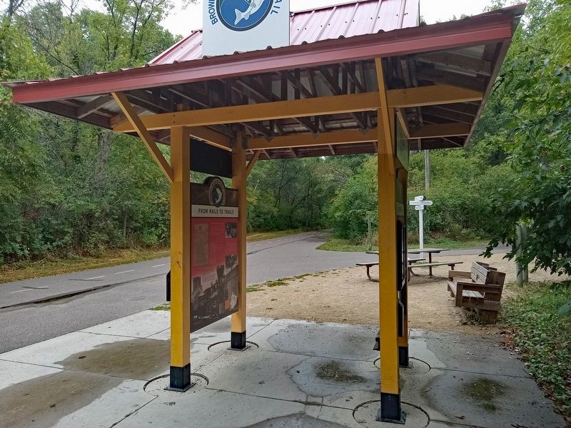
from Dellwood Road (State Highway 96) west of Kimbro Avenue N. The marker is at Duluth Junction, the western terminus of the Brown's Creek State Trail where it intersects with the Gateway State Trail. Touch for map. Marker is at or near this postal address: 10300 Dellwood Road, Stillwater MN 55082, United States of America. Touch for directions.
Other nearby markers. At least 8 other markers are within 5 miles of this marker, measured as the crow flies. Building Railroads (here, next to this marker); Historic Span of an Iron Bridge (approx. 2.6 miles away); Brown's Creek Revival (approx. 2.8 miles away); Bridging Brown's Creek (approx. 3½ miles away); Restoring Oak Woods and Prairies: Why Do It? (approx. 4.3 miles away); Pine Point County Park (approx. 4.3 miles away); Tamarack House (approx. 4.6 miles away); Indian Battleground (approx. 4.6 miles away). Touch for a list and map of all markers in Grant.
Credits. This page was last revised on October 2, 2023. It was originally submitted on September 29, 2023, by McGhiever of Minneapolis, Minnesota. This page has been viewed 56 times since then and 13 times this year. Photos: 1, 2. submitted on September 29, 2023, by McGhiever of Minneapolis, Minnesota. • J. Makali Bruton was the editor who published this page.

