Winrock in Conway County, Arkansas — The American South (West South Central)
Davies Bridge: Symbol of a Legacy
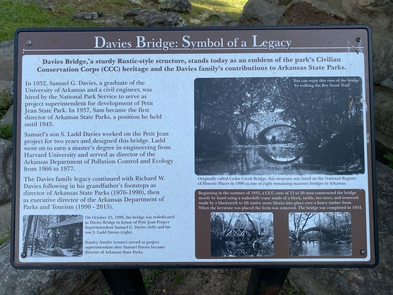
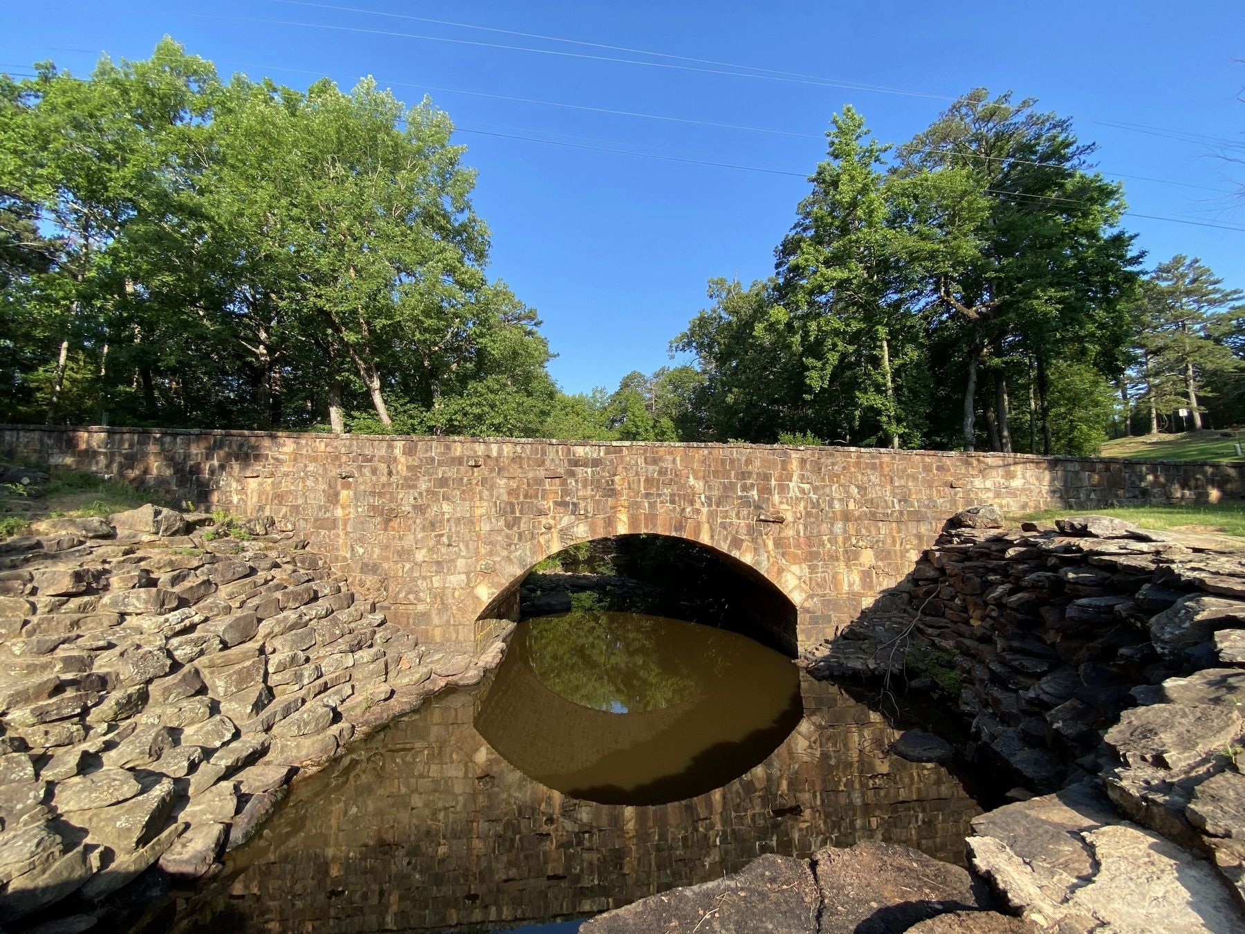
Davies Bridge, a sturdy Rustic-style structure, stands today as an emblem of the park's Civilian Conservation Corps (CCC) heritage and the Davies family's contributions to Arkansas State Parks.
In 1932, Samuel G. Davies, a graduate of the University of Arkansas and a civil engineer, was hired by the National Park Service to serve as project superintendent for development of Petit Jean State Park. In 1937, Sam became the first director of Arkansas State Parks, a position he held until 1943.
Samuel's son S. Ladd Davies worked on the Petit Jean project for two years and designed this bridge. Ladd went on to earn a master's degree in engineering from Harvard University and served as director of the Arkansas Department of Pollution Control and Ecology from 1966 to 1977.
The Davies family legacy continued with Richard W. Davies following in his grandfather's footsteps as director of Arkansas State Parks (1976-1990), then as executive director of the Arkansas Department of Parks and Tourism (1990 - 2015).
(caption:)
On October 23, 1999, the bridge was rededicated as Davies Bridge in honor of Petit Jean Project Superintendent Samuel G. Davies (left) and his son S. Ladd Davies (right). Stanley Amsler (center) served as project superintendant after Samuel Davies became director of Arkansas State Parks.
(caption:)
You can enjoy this view of the bridge by walking the Boy Scout Trail. Originally called Cedar Creek Bridge, this structure was listed on the National Register of Historic Places in 1990 as one of eight remaining masonry bridges in Arkansas.
(caption:)
Beginning in the summer of 1933, a CCC crew of 15 to 20 men constructed the bridge mostly by hand using a makeshift crane made of a block, tackle, two trees, and ironwork made by a blacksmith to lift native stone blocks into place over a heavy timber form. When the keystone was placed the form was removed. The bridge was completed in 1934.
Topics and series. This historical marker is listed in these topic lists: Architecture • Bridges & Viaducts • Parks & Recreational Areas. In addition, it is included in the Civilian Conservation Corps (CCC) series list.
Location. 35° 7.691′ N, 92° 55.475′ W. Marker is in Winrock, Arkansas, in Conway County. Marker can be reached from Red Bluff Drive. Touch for map. Marker is in this post office area: Morrilton AR 72110, United States of America. Touch for directions.
Other nearby markers. At least 8 other markers are within walking distance of this marker. What was the Civilian Conservation Corps? (about 400 feet away, measured in a direct line); Civilian Conservation Corps and the Building of Arkansas's First State Park (about 400 feet away); The CCC at Petit Jean State Park (about 500 feet away); Cement Sculptures by Dionicio Rodriguez (about 600 feet away); A Vision for the Future (approx. 0.3 miles away); The Old Pioneer Cabin (approx. 0.6 miles away); Two Dominant Fossils of the Area (approx. ¾ mile away); Geology of Cedar Creek Falls Overlook (approx. ¾ mile away). Touch for a list and map of all markers in Winrock.
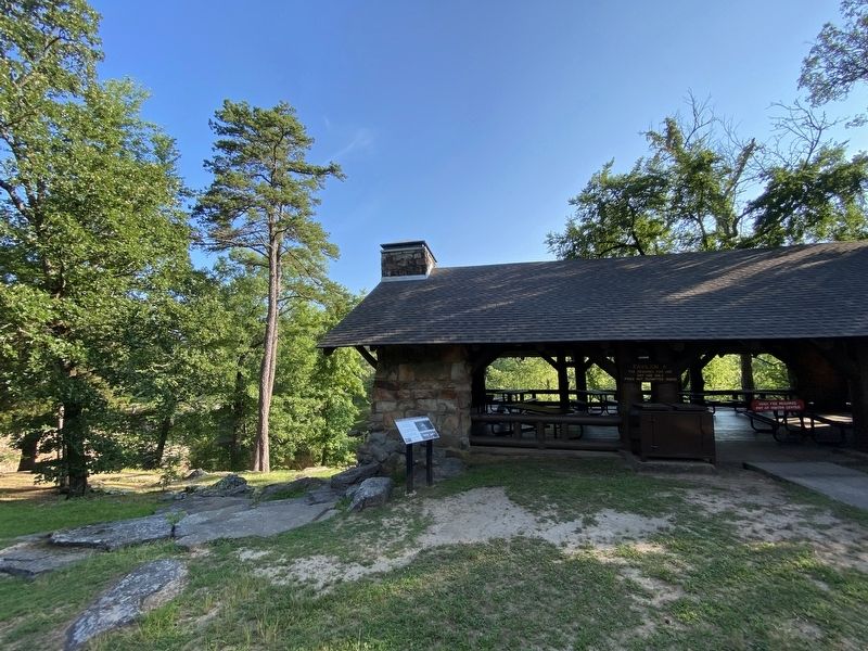
More about this marker. The marker is in Petit Jean State Park.
Credits. This page was last revised on October 16, 2023. It was originally submitted on September 29, 2023, by Darren Jefferson Clay of Duluth, Georgia. This page has been viewed 91 times since then and 35 times this year. Photos: 1, 2, 3. submitted on October 3, 2023, by Darren Jefferson Clay of Duluth, Georgia. • Andrew Ruppenstein was the editor who published this page.


