Dardanelle in Yell County, Arkansas — The American South (West South Central)
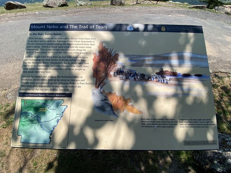
Mount Nebo and The Trail of Tears
In the River Valley Below
In the River Valley Below
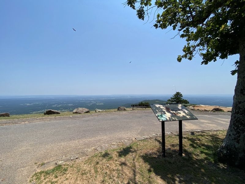
With dramatic views of the river valley, Mount Nebo State Park is an ideal spot to view the Arkansas River where thousands of Native Americans passed during the forced removal from their native lands. Below, a major land route and the water route intersected. This is one of only two locations along the Trail of Tears where all five of the civilized tribes passed.
Indians might have been seen on foot with their children and belongings on their backs, or being carried by boat up the Arkansas River. Dardanelle Rock, easily seen from the river in Dardanelle, and lofty Mount Nebo itself, were most likely landmarks of importance to these people as they made their way west.
Carried by steamboats pulling flat-bottomed boats or keelboats, entire tribes from as far away as Georgia and Florida were transported up the Arkansas River to Fort Smith. They were then transferred to wagons, or walked the remainder of the trip into Indian Territory.
(Caption:)
Each night, as they traveled, these Native Americans would make camp along the river bank, Army officers and soldiers would dole out rations as the were made available. From where you stand, light and smoke from campfires could be seen as night after night new groups of removed people camped in the river valley on their way west.
Topics and series. This historical marker is listed in this topic list: Native Americans. In addition, it is included in the Trail of Tears series list.
Location. 35° 12.845′ N, 93° 15.077′ W. Marker is in Dardanelle, Arkansas, in Yell County. Marker is on Sunrise Circle, on the left when traveling north. Touch for map. Marker is in this post office area: Dardanelle AR 72834, United States of America. Touch for directions.
Other nearby markers. At least 8 other markers are within 6 miles of this marker, measured as the crow flies. Cornwell House (approx. half a mile away); Mount Nebo (approx. one mile away); Brearley Cemetery (approx. 4˝ miles away); Stinnets Station (approx. 4.6 miles away); Action at Dardenelle (approx. 5.2 miles away); Old Brearley Cemetery (approx. 5.3 miles away); Council Oak (approx. 5.4 miles away); Jefferson Davis Highway (approx. 5.4 miles away). Touch for a list and map of all markers in Dardanelle.
More about this marker. The marker is located in Mt. Nebo State Park.
Credits. This page was last revised on October 4, 2023. It was originally submitted on September 29, 2023, by Darren Jefferson Clay of Duluth, Georgia. This page has been viewed 70 times since then and 21 times this year. Photos: 1, 2. submitted on October 3, 2023, by Darren Jefferson Clay of Duluth, Georgia. • Andrew Ruppenstein was the editor who published this page.

