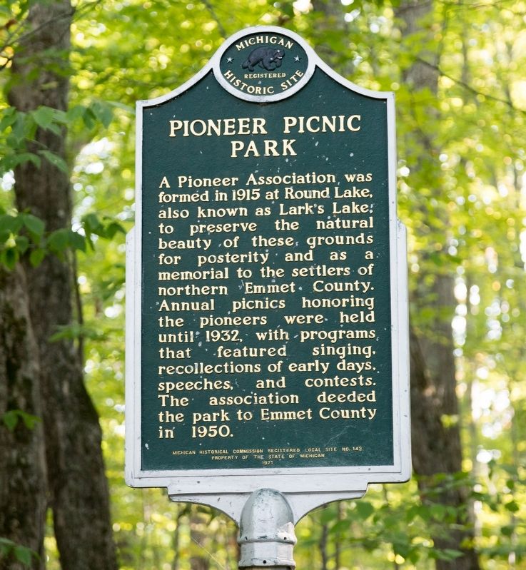
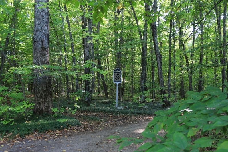
Center Township near Canby Corners in Emmet County, Michigan — The American Midwest (Great Lakes)
Pioneer Picnic Park
Erected 1971 by Michigan Historical Commission. (Marker Number 142.)
Topics. This historical marker is listed in this topic list: Parks & Recreational Areas. A significant historical year for this entry is 1915.
Location. 45° 36.715′ N, 84° 55.798′ W. Marker is near Canby Corners, Michigan, in Emmet County. It is in Center Township. Marker is on Latocha Drive, 0.2 miles Beckon Road. It is at the entrance to the park. Touch for map. Marker is at or near this postal address: 645 Latocha Dr, Pellston MI 49769, United States of America. Touch for directions.
Other nearby markers. At least 8 other markers are within 8 miles of this marker, measured as the crow flies. Bliss Pioneer Memorial Church (approx. 5.2 miles away); The History of Redpath Memorial Presbyterian Church (approx. 5˝ miles away); Cross Village, Michigan (approx. 5˝ miles away); Cross Village Township Park (approx. 5.6 miles away); The Legs Inn (approx. 5.6 miles away); Light Houses of Grays Reef Passage (approx. 5.6 miles away); L'Arbre Croche (approx. 6.8 miles away); Area Of The Old Council Tree (approx. 7.1 miles away).
Credits. This page was last revised on October 1, 2023. It was originally submitted on October 1, 2023, by J. J. Prats of Powell, Ohio. This page has been viewed 60 times since then and 16 times this year. Photos: 1, 2, 3. submitted on October 1, 2023, by J. J. Prats of Powell, Ohio.


