Near Cloverdale in Owen County, Indiana — The American Midwest (Great Lakes)
Cataract Falls
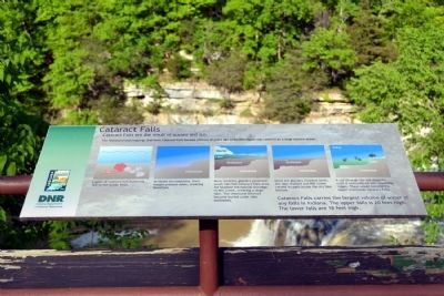
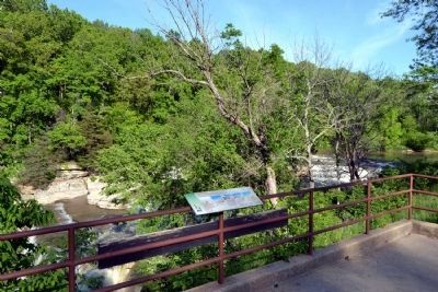
Cataract Falls are the result of oceans and ice.
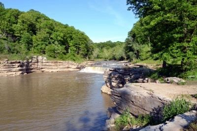
The limestone outcroppings that form Cataract Falls formed millions of years ago when this region was covered by a large shallow ocean.
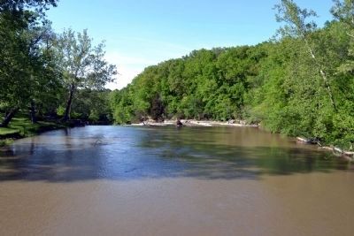
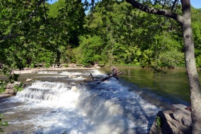
Layers of calcium-rich materials fell to the ocean floor. As layers accumulated, their weight pressed down, creating limestone. More recently, glaciers extended south into the Cataract Falls area. Ice blocked the natural drainage of Mill Creek, creating a large lake. The limestone bedrock became buried under lake sediments. Once the glaciers receded north, the lake drained and Mill Creek carved its path across the dry lake bottom. It cut through the soil deposits until it encountered two limestone ridges. These would become the Upper and Lower Cataract Falls. Cataract Falls carries the largest volume of water of any falls in Indiana. The upper falls is 20 feet high. The lower falls are 18 feet high.
Erected by Indiana Department of Natural Resources.
Topics. This historical marker is listed in this topic list: Natural Features.
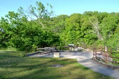
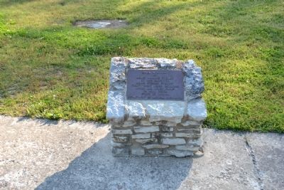
Location. Marker has been reported missing. It was located near 39° 26.085′ N, 86° 48.832′ W. Marker was near Cloverdale, Indiana , in Owen County. Marker could be reached from the intersection of N. Cataract Road and Owen Park Road. Marker is located in Cataract Falls unit of the Lieber State Recreation Area; the above directions are to the main entrance to the Cataract Falls unit. Touch for map. Marker was in this post office area: Poland IN 47868, United States of America. Touch for directions.
Other nearby markers. At least 8 other markers are within 11 miles of this location, measured as the crow flies. Cataract Falls Covered Bridge (about 400 feet away, measured in a direct line); The Cataract Covered Bridge (about 500 feet away); The Ten O'Clock Line (approx. 9.6 miles away); Camp Hughes (approx. 9.6 miles away); Ferry Bridge (approx. 10.2 miles away); Owen County (Indiana) War Memorial (approx. 10.7 miles away); Owen County War Memorial (approx. 10.7 miles away); Owen County Courthouse (approx. 10.7 miles away). Touch for a list and map of all markers in Cloverdale.
Additional commentary.
1. About the marker
At the time that this marker was submitted, HMdb.org was accepting submissions for natural history.
— Submitted October 2, 2023, by Devry Becker Jones of Washington, District of Columbia.
Credits. This page was last revised on October 2, 2023. It was originally submitted on June 4, 2014, by Duane Hall of Abilene, Texas. This page has been viewed 819 times since then and 50 times this year. Last updated on October 1, 2023, by Trevor L Whited of Kokomo, Indiana. Photos: 1, 2. submitted on June 4, 2014, by Duane Hall of Abilene, Texas. 3. submitted on October 1, 2023, by Trevor L Whited of Kokomo, Indiana. 4, 5, 6, 7, 8, 9. submitted on June 4, 2014, by Duane Hall of Abilene, Texas. • Devry Becker Jones was the editor who published this page.
