Kinnickinnic State Park in Pierce County, Wisconsin — The American Midwest (Great Lakes)
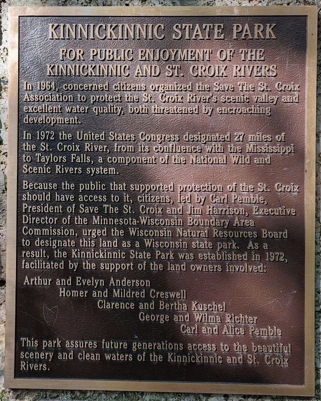
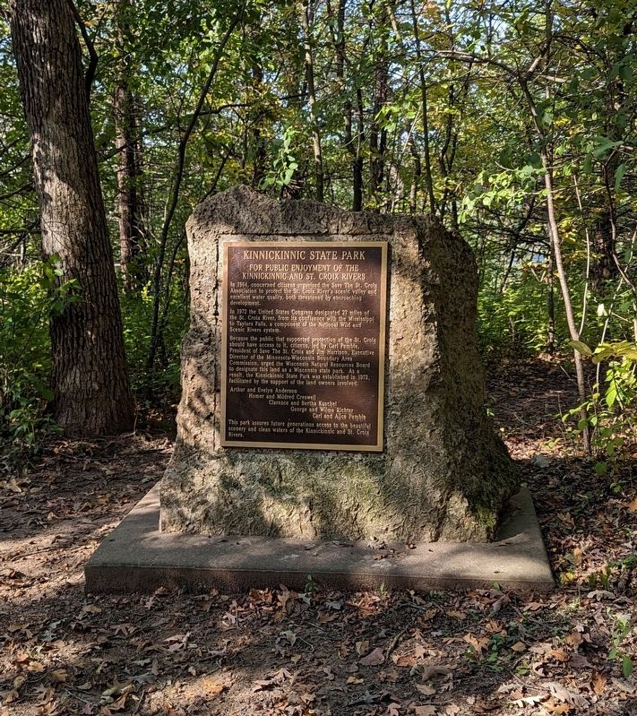
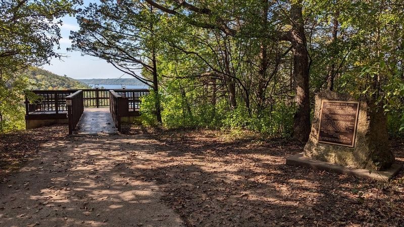
Kinnickinnic State Park
For public enjoyment of the Kinnickinnic and St. Croix Rivers
In 1964, concerned citizens organized the Save The St. Croix Association to protect the St. Croix River's scenic valley and excellent water quality, both threatened by encroaching development.
In 1972 the United States Congress designated 27 miles of the St. Croix River, from its confluence with the Mississippi to Taylors Falls, a component of the National Wild and Scenic Rivers system.
Because the public that supported protection of the St. Croix should have access to it, citizens, led by Carl Pemble, President of Save The St. Croix and Jim Harrison, Executive Director of the Minnesota-Wisconsin Boundary Area Commission, urged the Wisconsin Natural Resources Board to designate this land as a Wisconsin state park. As a result, the Kinnickinnic State Park was established in 1972, facilitated by the support of the land owners involved:
Arthur and Evelyn Anderson · Homer and Mildred Creswell · Clarence and Bertha Kuschel · George and Wilma Richter · Carl and Alice Pemble
This park assures future generations access to the beautiful scenery and clean waters of the Kinnickinnic and St. Croix Rivers.
Topics. This historical marker is listed in this topic list: Parks & Recreational Areas. A significant historical year for this entry is 1972.
Location. 44° 49.785′ N, 92° 45.768′ W.
Other nearby markers. At least 8 other markers are within 8 miles of this marker, measured as the crow flies. Bolles Flour Mill (approx. 5˝ miles away in Minnesota); History of Clock Towers in Prescott (approx. 5.9 miles away); Steamboats, Trains, and Barges (approx. 7.2 miles away in Minnesota); Shaping the River (approx. 7.2 miles away in Minnesota); Hastings Grows (approx. 7.2 miles away in Minnesota); Veterans Memorial Levee (approx. 7.2 miles away in Minnesota); Mississippi (approx. 7.2 miles away in Minnesota); Native Cultures (approx. 7.3 miles away in Minnesota).
Credits. This page was last revised on October 9, 2023. It was originally submitted on October 2, 2023, by John Neitz of Minneapolis, Minnesota. This page has been viewed 70 times since then and 25 times this year. Photos: 1, 2, 3. submitted on October 2, 2023, by John Neitz of Minneapolis, Minnesota. • J. Makali Bruton was the editor who published this page.


