Marker Logo HMdb.org THE HISTORICAL
MARKER DATABASE
“Bite-Size Bits of Local, National, and Global History”
Estherville in Emmet County, Iowa — The American Midwest (Upper Plains)
 

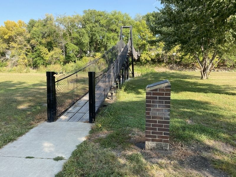
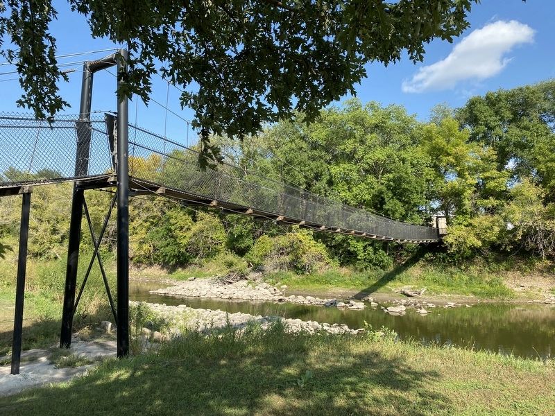
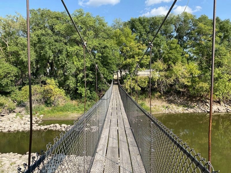
Estherville Swinging Bridge


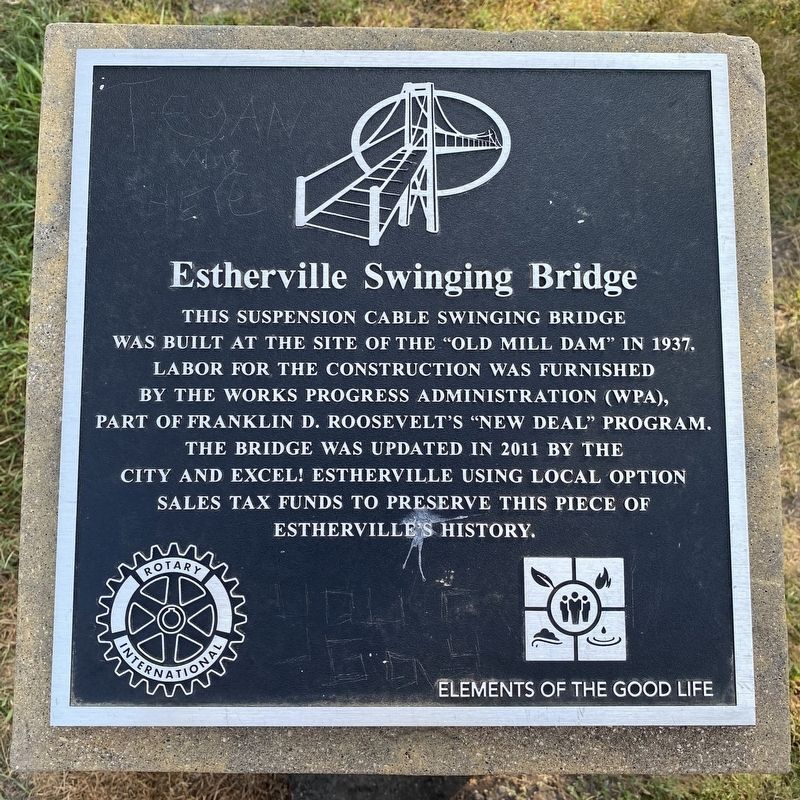
Estherville Swinging Bridge Marker image. Click for full size.
September 11, 2023
1. Estherville Swinging Bridge Marker
Inscription. This suspension cable swinging bridge was built at the site of the "Old Mill Dam" in 1937. Labor for the construction was furnished by the Works Progress Administration (WPA), part of Franklin D. Roosevelt's "New Deal" Program. The bridge was updated in 2011 by the city and Excel! Estherville using local option sales tax funds to preserve this piece of Estherville's history.
 
Erected by Rotary International and Excel! Estherville.
 
Topics and series. This historical marker is listed in these topic lists: AgricultureBridges & ViaductsCharity & Public Work. In addition, it is included in the Works Progress Administration (WPA) projects series list. A significant historical year for this entry is 1937.
 
Location. 43° 24.237′ N, 94° 50.682′ W. Marker is in Estherville, Iowa, in Emmet County. Marker can be reached from West North 1st Street south of West 2nd Avenue North, on the right when traveling north. Located on the west side of the bridge. Touch for map. Marker is in this post office area: Estherville IA 51334, United States of America. Touch for directions.
 
Other nearby markers. At least 7 other markers are within 13 miles of this marker, measured as the crow flies. A different marker also named Estherville Swinging Bridge (within shouting distance of this marker); Fort Defiance (approx. 0.4 miles away); First Bell Used by the Estherville Fire Department
Paid Advertisement
Click on the ad for more information.
Please report objectionable advertising to the Editor.
Click or scan to see
this page online
(approx. 0.4 miles away); Emmet County Veterans Memorial (approx. half a mile away); The Estherville Meteorite (approx. 2.8 miles away); State Line Congregation (approx. 7.1 miles away); De Soto (approx. 12.7 miles away in Minnesota).
 
Estherville Swinging Bridge & Marker image. Click for full size.
September 11, 2023
2. Estherville Swinging Bridge & Marker
Estherville Swinging Bridge image. Click for full size.
September 11, 2023
3. Estherville Swinging Bridge
Estherville Swinging Bridge, from the west image. Click for full size.
September 11, 2023
4. Estherville Swinging Bridge, from the west
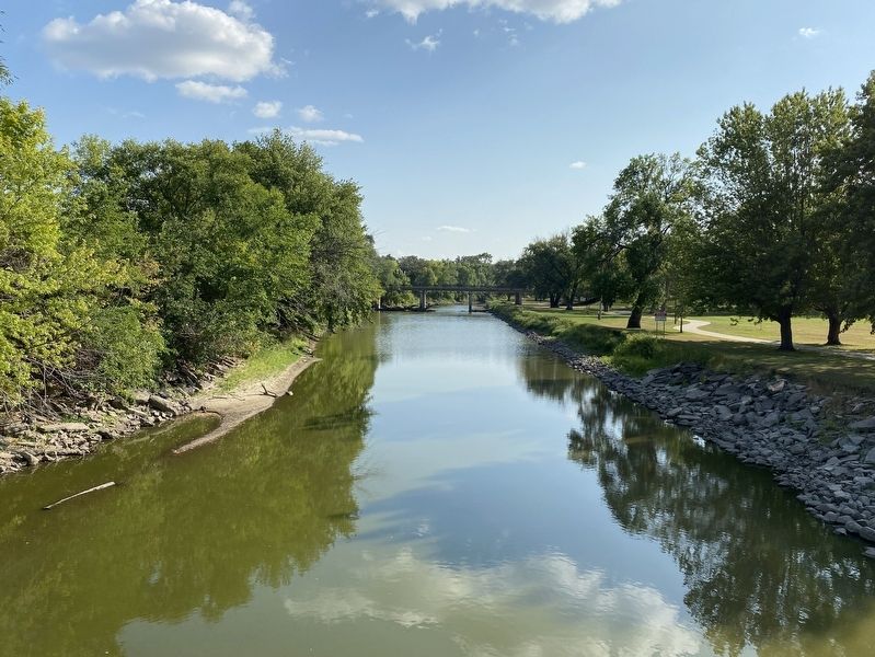
View of the Des Moines River south from the Estherville Swinging Bridge image. Click for full size.
September 11, 2023
5. View of the Des Moines River south from the Estherville Swinging Bridge
 
 
Credits. This page was last revised on October 3, 2023. It was originally submitted on October 2, 2023. This page has been viewed 62 times since then and 12 times this year. Photos:   1, 2, 3, 4, 5. submitted on October 2, 2023.
Share this page.  
Share on Tumblr
m=233861

CeraNet Cloud Computing sponsors the Historical Marker Database.
This website earns income from purchases you make after using our links to Amazon.com. We appreciate your support.
Paid Advertisement
May. 2, 2024