
Ridgefield in Western Region, Connecticut — The American Northeast (New England)
Battle of Ridgefield
April 27, 1777

Photographed by Bill Coughlin, October 17, 2009
1. Battle of Ridgefield Marker
Engagement Occurred
on This Ridge
Topics. This historical marker is listed in this topic list: War, US Revolutionary.
Location. 41° 17.211′ N, 73° 29.942′ W. Marker is in Ridgefield in Western Region, Connecticut. It is on Main Street, on the right when traveling north. Touch for map. Marker is in this post office area: Ridgefield CT 06877, United States of America. Touch for directions.

Regionally, this marker is on the Connecticut Shoreline, on the Gold Coast, and in Greater Bridgeport. It is also in the American Northeast and in New England. Globally, it is in North America, the Western Hemisphere, the Western World, and the Anglosphere. Historically, it finds itself in what was once Fairfield County and also one of the original Thirteen Colonies.
Other nearby markers. At least 8 other markers are within walking distance of this marker: Battle of Ridgefield Dead (here, next to this marker); The Battle of Ridgefield, April 27, 1777 (a few steps from this marker); The Gilbert House (about 300 feet away, measured in a direct line); The Elms Inn and Stebbins Homestead
this page online
Also see . . .
1. Battle of Ridgefield. Wikipedia entry:
The only inland battle fought in Connecticut during the Revolutionary War. (Submitted on July 6, 2021, by Larry Gertner of New York, New York.)
2. Battle of Ridgefield. Keeler Tavern Museum website homepage (Submitted on July 6, 2021, by Larry Gertner of New York, New York.)
Photographed by Bill Coughlin, October 17, 2009
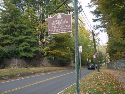
2. Battle of Ridgefield Marker (Looking North)
During the battle, American militia under Gen. Benedict Arnold set up a barricade at this position to intercept British troops retreating from their raid on Danbury. This photo looks north in the direction of the approaching British.
Photographed by Bill Coughlin, October 17, 2009
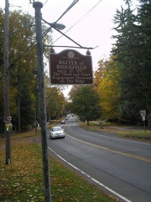
3. Battle of Ridgefield Marker (Looking South)
This view of the marker looks south, in the direction of the British march during the Battle of Ridgefield.
Photographed by Bill Coughlin, October 17, 2009
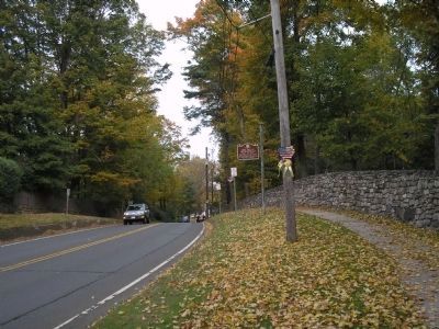
4. Marker on Main Street
The fighting that occured here on April 27, 1777 was the final phase of the Battle of Ridgefield. Benedict Arnold had his horse shot out from under him near this position.
Photographed by Bill Coughlin, October 17, 2009
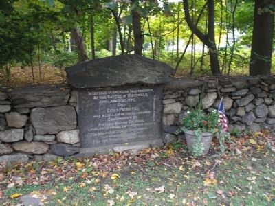
5. Battle of Ridgefield Dead
This tablet, located just south of the marker, indicates the burial site of eight Americans and sixteen British soldiers who died during the battle.
Credits. This page was last revised on May 19, 2026. It was originally submitted on October 17, 2009, by Bill Coughlin of Woodland Park, New Jersey. This page has been viewed 2,807 times since then and 103 times this year. Photos: 1, 2, 3, 4, 5. submitted on October 17, 2009, by Bill Coughlin of Woodland Park, New Jersey.
