Randolph in Fannin County, Texas — The American South (West South Central)
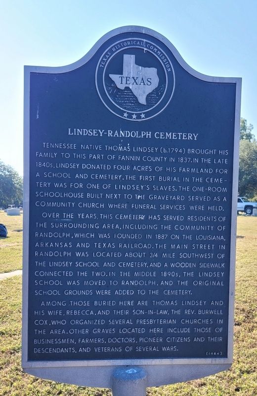
Lindsey-Randolph Cemetery
Over the years, this cemetery has served residents of the surrounding area, including the community of Randolph, which was founded in 1887 on the Louisiana, Arkansas and Texas Railroad. The main street in Randolph was located about 3/4 mile southwest of the Lindsey School and cemetery, and a wooden sidewalk connected the two. In the middle 1890s, the Lindsey School was moved to Randolph, and the original school grounds were added to the cemetery.
Among those buried here are Thomas Lindsey and his wife, Rebecca, and their son-in-law, the Rev. Burwell Cox, who organized several Presbyterian churches in the area. Other graves located here include those of businessmen, farmers, doctors, pioneer citizens and their descendants, and veterans of several wars.
Erected 1984 by Texas Historical Commission. (Marker Number 8909.)
Topics. This historical marker is listed in these topic lists: Cemeteries & Burial Sites • Education. A significant historical year for this entry is 1837.
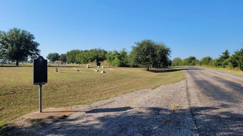
Location. 33° 29.466′ N, 96° 15.012′ W. Marker is in Randolph, Texas, in Fannin County. Marker is on State Highway 121, 0.1 miles north of County Highway 4236, on the right when traveling north. Touch for map. Marker is in this post office area: Randolph TX 75475, United States of America. Touch for directions.
Other nearby markers. At least 8 other markers are within 7 miles of this marker, measured as the crow flies. Arledge Ridge Cemetery (approx. 5 miles away); Burns Cemetery (approx. 5˝ miles away); Congressman Sam Rayburn (approx. 6 miles away); Sam Rayburn House (approx. 6 miles away); Ector Lodge No. 687, A. F. & A. M. (approx. 6.2 miles away); Ashley Lodge No. 681, A. F. & A. M. (approx. 6.3 miles away); First Methodist Church of Trenton (approx. 6˝ miles away); Y.B. Reed (approx. 6.6 miles away).
Credits. This page was last revised on October 3, 2023. It was originally submitted on October 3, 2023, by James Hulse of Medina, Texas. This page has been viewed 72 times since then and 24 times this year. Photos: 1, 2. submitted on October 3, 2023, by James Hulse of Medina, Texas.

