Bluemont in Loudoun County, Virginia — The American South (Mid-Atlantic)
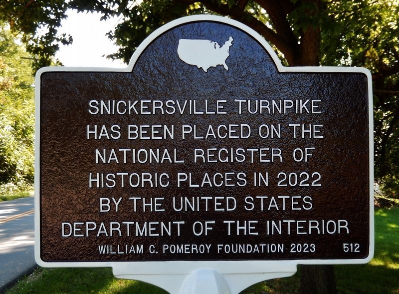
Snickersville Turnpike
National Register of
Historic Places in 2022
by the United States
Department of the Interior
Erected 2023 by William G. Pomeroy Foundation. (Marker Number 512.)
Topics and series. This historical marker is listed in this topic list: Roads & Vehicles. In addition, it is included in the National Register of Historic Places, and the William G. Pomeroy Foundation series lists.
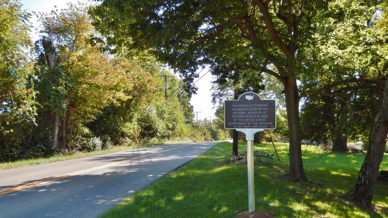
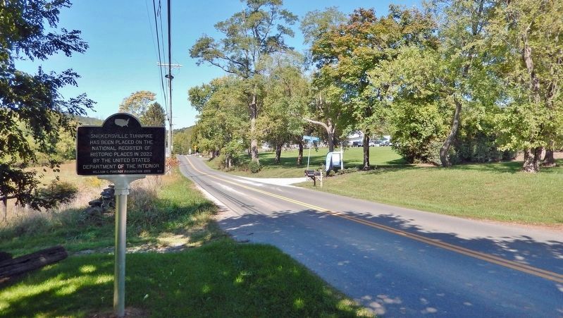
Location. 39° 6.489′ N, 77° 49.664′ W. Marker is in Bluemont, Virginia, in Loudoun County. Marker is on Snickersville Turnpike (Virginia Route 734) just south of Whitehall Estate Lane, on the right when traveling south. Touch for map. Marker is in this post office area: Bluemont VA 20135, United States of America. Touch for directions.
Other nearby markers. At least 8 other markers are within 2 miles of this marker, measured as the crow flies. Bluemont Historic District (approx. 0.4 miles away); a different marker also named Snickersville Turnpike (approx. 0.4 miles away); Bluemont (approx. 0.4 miles away); The Snickersville Academy (approx. half a mile away); The Lives And Times Of The Snickersville Academy (approx. half a mile away); Lt. Col. Roger Preston Chew (1843-1921) (approx. ¾ mile away); Mt. Airy Fight (approx. 1.2 miles away); Appalachian Trail and Bears Den (approx. 1.4 miles away). Touch for a list and map of all markers in Bluemont.
Regarding Snickersville Turnpike. National Register of Historic Places #100007792.
From the National Register Nomination:
One of the many 19th-century turnpikes built in Loudoun County, today Snickersville Turnpike’s historic elements of construction and design include its width, drainage ditches, and alignment. The Snickersville Turnpike retains its near-original paved width, roughly 18 to 20 feet wide, a width that allows dual-lane travel without shoulders but is considered narrow by modern standards. The road currently is surfaced with asphalt, although earlier paving materials may be in situ beneath this material. Grading and paving techniques and materials likely evolved throughout the history of Snickersville Turnpike. During the road’s earliest history the road was likely a dirt or gravel path with a mix of smaller and larger stones and throughout the Turnpike Era it may have been improved with crushed stone, wood planks or as a macadamized road. Today the road is entirely paved from its most northern point in Bluemont to its southern terminus near Aldie. The road corridor includes approximately 6-feet-wide, parallel, grassy drainage ditches that flank the road along its length. The paved road and ditches constitute the turnpike’s current 30-foot-wide right-of-way that is owned by the Virginia Department of Transportation. In village settings, such as Bluemont, the drainage ditches are incorporated into the streetscape and inclusion of sidewalks is very limited.
Related markers. Click here for a list of markers that are related to this marker.
Also see . . .
1. Snickersville Turnpike (VA Department of Historic Resources). Excerpt:
The Snickersville Turnpike stretches south to north from the village of Aldie in the Bull Run Mountains to the village of Bluemont—formerly known as Snickersville—in western Loudoun County. Before colonial traders and settlers began using it for exploration and commerce in the 18th century, the route served as part of a migratory and hunting footpath for the Sherando American Indians. Chartered in 1810 and completed in 1829, the 15-mile Snickersville Turnpike passes through the late-18th and early-19th century villages of Philomont and Mountville. The Snickersville Turnpike was restored in the 20th century for automobile travel. Sharp turns were redesigned for higher speed traffic and rural bridges replaced earlier fords. The Snickersville Turnpike’s original contributing secondary resources, which consist of historic bridges, culverts, and ditches along the route, are made of locally sourced materials. The Snickersville Turnpike follows its original 19th- and 20th-century alignment, serving the local community, farmers, and tourists alike.(Submitted on October 3, 2023, by Cosmos Mariner of Cape Canaveral, Florida.)
2. Snicker's Gap Turnpike (Wikipedia). Excerpt:
The road between Aldie and Bluemont (formerly Snickerville) in Loudoun County, via Mountville, Philomont, and Airmont, is a rural Virginia Byway known as Snickersville Turnpike (State Route 734), and includes the about 180-year-old Hibbs Bridge over Beaverdam Creek. The Snickersville Turnpike remains a rural road, designated as a Virginia Byway by the General Assembly in 1988. It was listed on the National Register of Historic Places in 2022.(Submitted on October 3, 2023, by Cosmos Mariner of Cape Canaveral, Florida.)
3. National Register of Historic Places Nomination (pdf). (Submitted on October 3, 2023, by Cosmos Mariner of Cape Canaveral, Florida.)
Credits. This page was last revised on October 3, 2023. It was originally submitted on October 3, 2023, by Cosmos Mariner of Cape Canaveral, Florida. This page has been viewed 77 times since then and 18 times this year. Photos: 1, 2, 3. submitted on October 3, 2023, by Cosmos Mariner of Cape Canaveral, Florida.


