Near Apex in Wake County, North Carolina — The American South (South Atlantic)
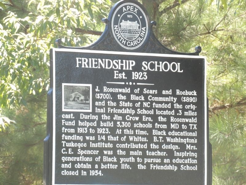
Friendship School
Est. 1923
Photographed by Duane and Tracy Marsteller, September 2, 2023
1. Friendship School Marker
Erected by Town of Apex, NC.
Topics and series. This historical marker is listed in these topic lists: African Americans • Charity & Public Work • Education. In addition, it is included in the Rosenwald Schools series list. A significant historical year for this entry is 1923.
Location. 35° 42.118′ N, 78° 54.499′ W. Marker is near Apex, North Carolina, in Wake County. It is on Humie Olive Road (State Road 1142) west of Evans Road (State Road 1147), on the left when traveling west. Touch for map. Marker is at or near this postal address: 7701 Humie Olive Rd, Apex NC
this page online

Regionally, this marker is in the Piedmont and in the Research Triangle. It is also in the American South and specifically in the Upper South. Globally, it is in North America, the Western Hemisphere, the Western World, and the Anglosphere. Historically, it finds itself in what was once the territory of the Mississippian Culture, one of the original Thirteen Colonies, one of the Confederate States of America, and the Antebellum South.
Other nearby markers. At least 8 other markers are within 6 miles of this marker, measured as the crow flies: Apex Elementary (approx. 3.2 miles away); Apex 9/11 Memorial (approx. 3.8 miles away); Joggling Board (approx. 3.8 miles away); Apex Union Depot (approx. 3.9 miles away); Apex Town Hall (approx. 3.9 miles away); Holly Springs War Memorial (approx. 5.4 miles away); Leslie-Alford-Mims House (approx. 5.4 miles away); Holly Springs School (approx. 5.4 miles away). Touch for a list and map of all markers in Apex.
Also see . . . Rosenwald Fund. Wikipedia entry (Submitted on June 1, 2025, by Larry Gertner of New York, New York.)
Photographed by Duane and Tracy Marsteller, September 2, 2023
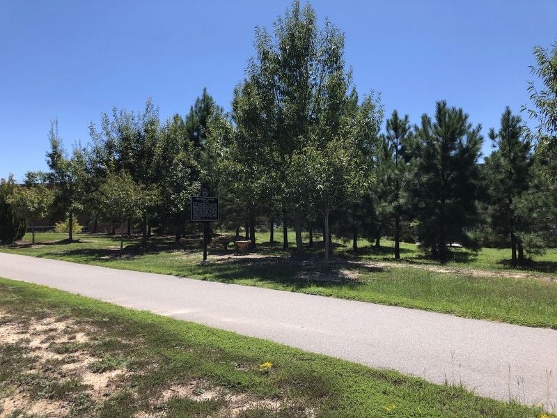
2. Friendship School Marker
Photographed by Duane and Tracy Marsteller, September 2, 2023
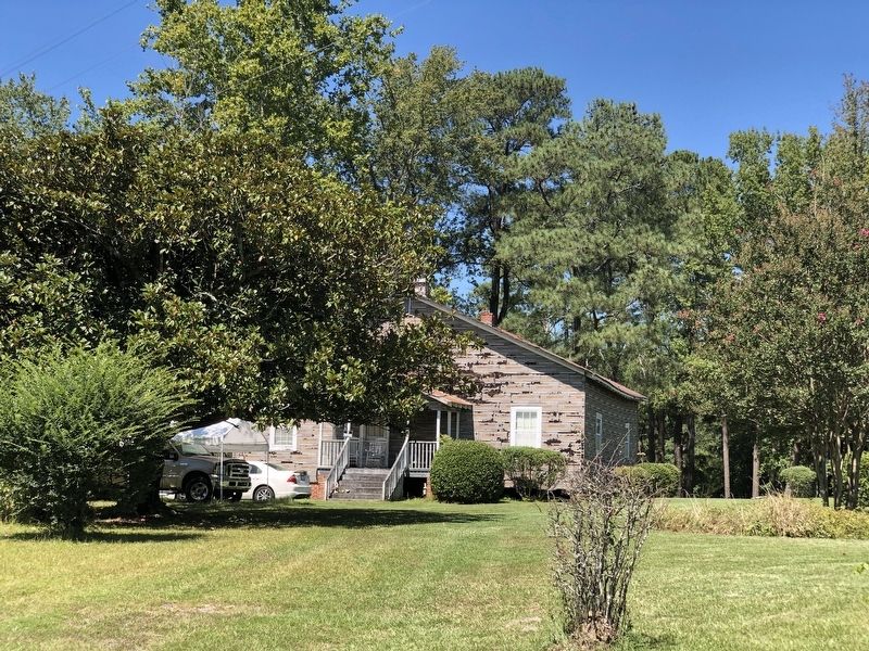
3. Friendship School
The former school has been converted into a residence.
Credits. This page was last revised on June 1, 2025. It was originally submitted on October 4, 2023, by Duane and Tracy Marsteller of Murfreesboro, Tennessee. This page has been viewed 464 times since then and 125 times this year. Photos: 1, 2, 3. submitted on October 4, 2023, by Duane and Tracy Marsteller of Murfreesboro, Tennessee.
