Bonham in Fannin County, Texas — The American South (West South Central)
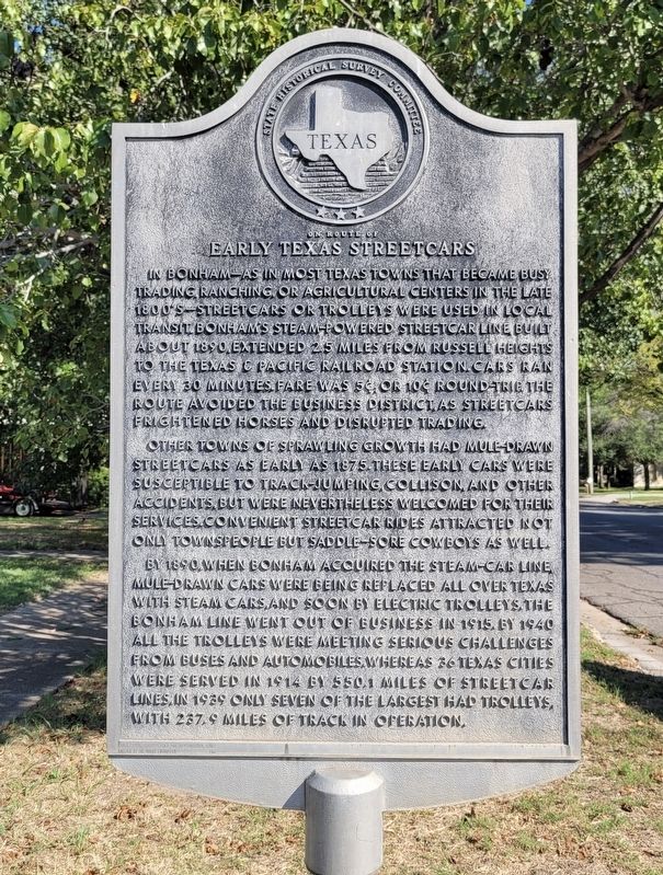
On Route of Early Texas Streetcars
Other towns of sprawling growth had mule-drawn streetcars as early as 1875. These early cars were susceptible to track-jumping, collison, and other accidents, but were nevertheless welcomed for their services. Convenient streetcar rides attracted not only townspeople but saddle sore cowboys as well.
By 1890 when Bonham acquired the steam-car line, mule-drawn cars were being replaced all over Texas with steam cars, and soon by electric trolleys. The Bonham line went out of business in 1915. By 1940 all the trolleys were meeting serious challenges from buses and automobiles. Whereas 26 Texas cities were served in 1914 by 550.1 miles of streetcar lines. In 1939 only seven of the largest had trolleys, with 237.9 miles of track in operation.
Erected 1967 by State Historical Survey Committee. (Marker Number 8866.)
Topics. This historical marker is listed in these topic lists: Railroads & Streetcars • Roads & Vehicles. A significant historical year for this entry is 1890.
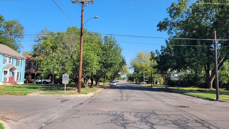
Location. 33° 34.963′ N, 96° 10.751′ W. Marker is in Bonham, Texas, in Fannin County. Marker is at the intersection of North Main Street and West 10th Street, on the left when traveling north on North Main Street. The marker is located on the corner of the intersection. Touch for map. Marker is at or near this postal address: 1001 N Main Street, Bonham TX 75418, United States of America. Touch for directions.
Other nearby markers. At least 8 other markers are within walking distance of this marker. Risser Hospital (about 300 feet away, measured in a direct line); First Presbyterian Church U.S. (about 400 feet away); Bonham High School Auditorium and Gymnasium (about 700 feet away); First Baptist Church (approx. 0.2 miles away); First Christian Church of Bonham (approx. 0.2 miles away); First United Methodist Church of Bonham (approx. 0.2 miles away); Trinity Episcopal Church (approx. ¼ mile away); Confederate Commissary (approx. ¼ mile away). Touch for a list and map of all markers in Bonham.
Also see . . . On Route of Early Texas Streetcars. Fannin County Historical Commission (Submitted on October 7, 2023, by James Hulse of Medina, Texas.)
Credits. This page was last revised on October 7, 2023. It was originally submitted on October 4, 2023, by James Hulse of Medina, Texas. This page has been viewed 46 times since then and 6 times this year. Photos: 1, 2. submitted on October 4, 2023, by James Hulse of Medina, Texas.

