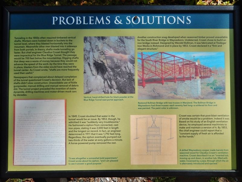
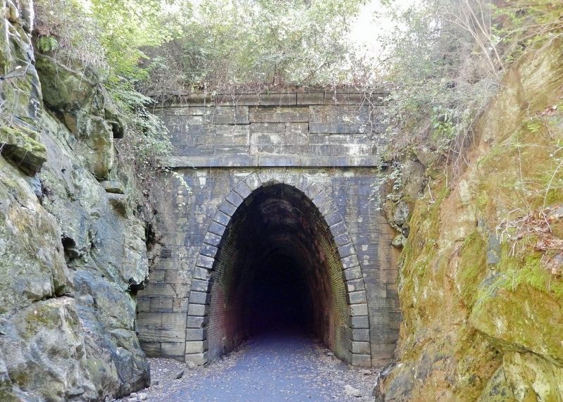
Near Waynesboro in Augusta County, Virginia — The American South (Mid-Atlantic)
Problems & Solutions
The Blue Ridge Tunnel
Tunneling in the 1850s often required timbered vertical shafts. Workers were hoisted down in buckets to the tunnel level, where they blasted horizontally into the mountain. Meanwhile other men blasted into it sideways from both portals. In theory, shafts made tunneling go faster. But chief engineer Claudius Crozet thought they were impractical for the Blue Ridge Tunnel. The passage would be 700 feet below the mountaintop. Digging shafts that deep was a waste of money because they would not advance the speed of the work — by the time they were in place, blasters from the sides would have reached the tunnel center. As Crozet wrote, "shafts are more frequently used than useful."
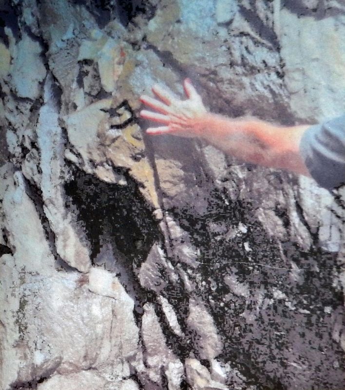
Newspapers that complained about delayed completion of the tunnel questioned Crozet's decision. But lack of shafts didn't slow construction. Unavoidable use of fickle gunpowder, manual drilling and manual removal of debris did. The tunnel project preceded the invention of stable dynamite, drilling machines and motor-driven muck cars by decades.
In 1849, Crozet doubted that water in the tunnel would be an issue. By 1853, though, he admitted it was "suddenly very troublesome." He fashioned a siphon from connected, cast iron pipes, stating it was 2,000 feet in length and the longest on record. In fact, an engineer determined in 1911 that it was 1,792 feet long. Regardless, the siphon eventually pumped out two-thirds of the water at sixty gallons a minute. A horse-powered pump removed the rest.
"It was altogether a somewhat bold experiment," Crozet wrote about his siphon, "and I am pleased to see it answer a good purpose."
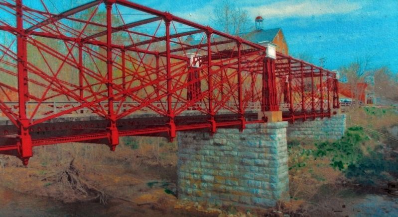
Another construction snag developed when seasoned timber proved unavailable for the South River Bridge in Waynesboro. Undeterred, Crozet chose to build an iron bridge instead. Designed by Wendel Bollman, it was fabricated at Tredegar Iron Works in Richmond and in place by 1853. Crozet declared it a "firm and elegant structure."
Crozet was certain that post-blast ventilation of smoke would be a problem. Indeed it was. Based on his study of an English ventilation device, he employed several machinists to make and maintain a version of it. By 1853, the chief engineer could report that a "constant supply of fresh air is afforded to the hands."
Topics. This historical marker is listed in these topic lists: Architecture • Bridges & Viaducts • Parks & Recreational Areas • Railroads & Streetcars. A significant historical year for this entry is 1853.
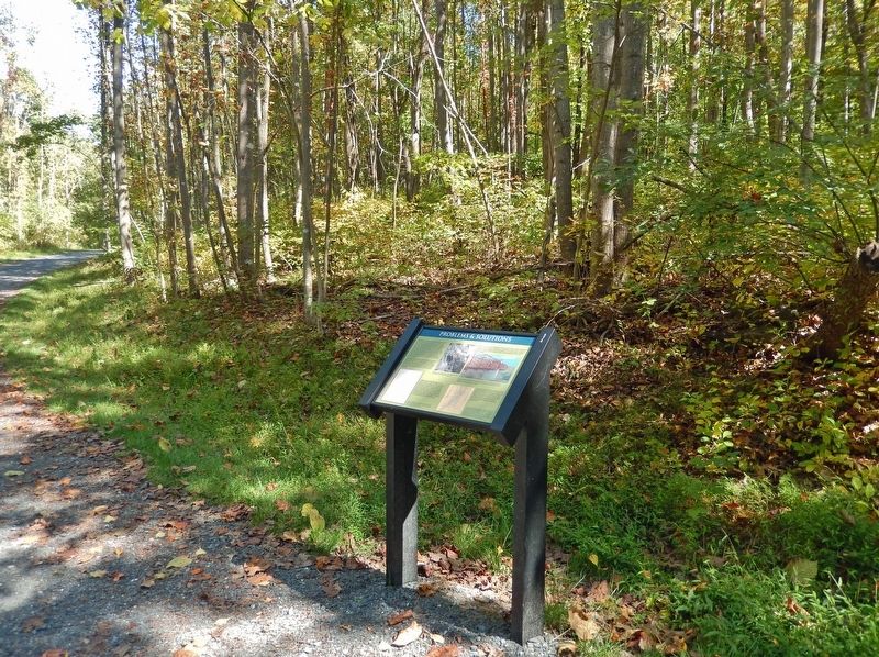
Location. 38° 2.545′ N, 78° 51.538′ W. Marker is near Waynesboro, Virginia, in Augusta County. Marker can be reached from Three Notched Mountain Hwy (U.S. 250) 0.8 miles north of Interstate
64, on the left when traveling north. This marker is located along the Blue Ridge Tunnel Trail, about 0.2 mile from the West Trailhead. Touch for map. Marker is at or near this postal address: 483 Three Notched Mountain Hwy, Waynesboro VA 22980, United States of America. Touch for directions.
Other nearby markers. At least 8 other markers are within walking distance of this marker. West Trailhead (about 600 feet away, measured in a direct line); They Died Building the Railroad (about 600 feet away); Tiny Creatures Of The Dark (approx. 0.2 miles away); West Side Features Then & Now (approx. 0.2 miles away); Dr. Robert Sumter Griffith (approx. ¼ mile away); Rockfish Gap (approx. 0.4 miles away); Park-to-Park Beauty (approx. 0.7 miles away); Welcome to Shenandoah National Park (approx. 0.7 miles away). Touch for a list and map of all markers in Waynesboro.
Also see . . . Blue Ridge Tunnel (Wikipedia). Excerpt:
The Blue Ridge Railroad was incorporated by the Commonwealth of Virginia in 1849 with Claudius Crozet as chief engineer. Its purpose was to provide a crossing of the Blue Ridge Mountains for the Virginia Central Railroad into the Shenandoah Valley. Overseen by Crozet, the crossing was accomplished by building four tunnels, including the 4,237-foot Blue Ridge Tunnel near the top of the pass. With construction proceeding from either side a decade before the invention of dynamite, the complex was dug through solid granite with only hand drills and black powder. When completed, the Blue Ridge Tunnel was the longest in the United States and one of the longest tunnels in the world, a remarkable feat of engineering. It opened to rail traffic in April 1858, and was considered to be one of the engineering wonders of the modern world.(Submitted on October 6, 2023, by Cosmos Mariner of Cape Canaveral, Florida.)
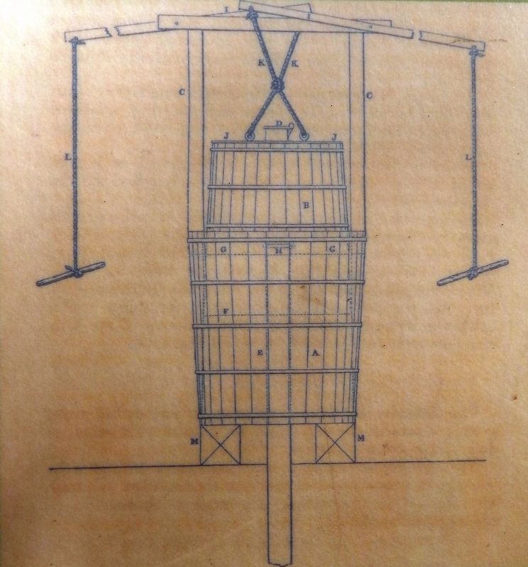
4. Marker detail: Claudius Crozet's Ventilation Machine
A skilled Waynesboro cooper made barrels from seasoned wood for Claudius Crozet's ventilation machine. Crozet described it as an "inverted tub, moving up and down, in another tub, filled with water, traversed by a pipe, through which the air is alternately introduced and ejected."
Credits. This page was last revised on October 7, 2023. It was originally submitted on October 6, 2023, by Cosmos Mariner of Cape Canaveral, Florida. This page has been viewed 77 times since then and 12 times this year. Photos: 1, 2, 3, 4, 5, 6. submitted on October 6, 2023, by Cosmos Mariner of Cape Canaveral, Florida.
