Bonham in Fannin County, Texas — The American South (West South Central)
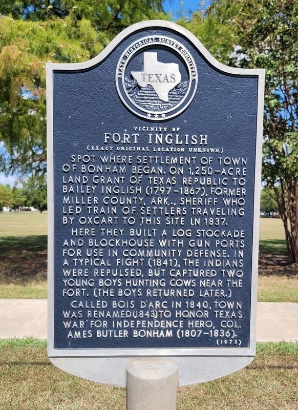
Vicinity of Fort Inglish
(Exact Original Location Unknown)
Here they built a log stockade and blockhouse with gun ports for use in community defense. In a typical fight (1841), the Indians were repulsed, but captured two young boys hunting cows near the fort. (the boys returned later.)
Called Bois D'arc in 1840, town was renamed (1843) to honor Texas War for Independence hero, Col. Ames Butler Bonham (1807-1836).
Erected 1972 by State Historical Survey Committee. (Marker Number 8886.)
Topics. This historical marker is listed in these topic lists: Forts and Castles • Settlements & Settlers • Wars, US Indian. A significant historical year for this entry is 1837.
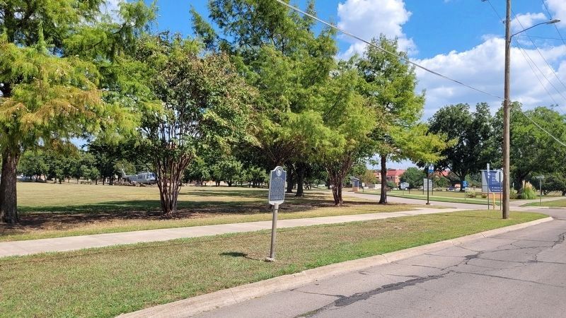
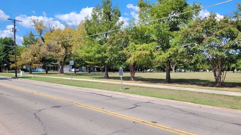
Location. 33° 34.896′ N, 96° 10.06′ W. Marker is in Bonham, Texas, in Fannin County. Marker can be reached from the intersection of East 9th Street (Loop State Highway 205) and Lipscomb Street, on the right when traveling west. The marker is located along the street. Touch for map. Marker is at or near this postal address: 1201 E 9th Street, Bonham TX 75418, United States of America. Touch for directions.
Other nearby markers. At least 8 other markers are within walking distance of this marker. Dr. Daniel Rowlett (about 700 feet away, measured in a direct line); Inglish Cemetery (about 800 feet away); Col. James Tarleton (approx. 0.2 miles away); Site of Booker T. Washington School (approx. 0.3 miles away); First Baptist Church (approx. 0.6 miles away); Risser Hospital (approx. 0.6 miles away); Site of Steger Opera House (approx. 0.6 miles away); Fall of a Renegade (approx. 0.6 miles away). Touch for a list and map of all markers in Bonham.
Also see . . . Fort Inglish (vicinity of). Fannin County Historical Commission (Submitted on October 8, 2023, by James Hulse of Medina, Texas.)
Credits. This page was last revised on October 8, 2023. It was originally submitted on October 8, 2023, by James Hulse of Medina, Texas. This page has been viewed 52 times since then and 8 times this year. Photos: 1, 2, 3. submitted on October 8, 2023, by James Hulse of Medina, Texas.


