Honey Grove in Fannin County, Texas — The American South (West South Central)
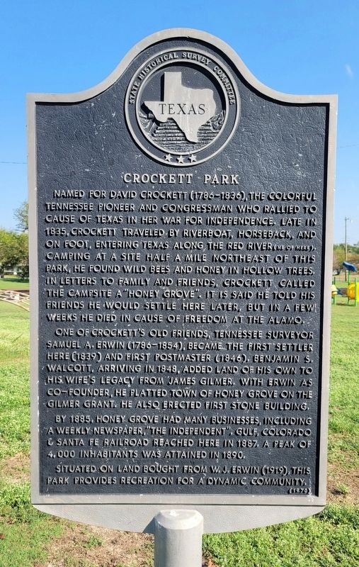
Crockett Park
One of Crockett's old friends, Tennessee surveyor Samuel A. Erwin (1786-1854), became the first settler here (1839) and first postmaster (1846). Benjamin S. Walcott, arriving in 1848, added land of his own to his wife's legacy from James Gilmer. With Erwin as co-founder, he platted town of Honey Grove on the Gilmer Grant. He also erected first stone building.
By 1885, Honey Grove had many businesses, including a weekly newspaper, "The Independent". Gulf, Colorado & Santa Fe Railroad reached here in 1887. A peak of 4,000 inhabitants was attained in 1890. Situated on land bought from W.J. Erwin (1919), this park provides recreation for a dynamic community.
Erected 1970 by State Historical Survey Committee. (Marker Number 8862.)
Topics. This historical marker is listed in these topic lists: Parks & Recreational Areas • Settlements & Settlers • War, Texas Independence. A significant historical year for this entry is 1835.
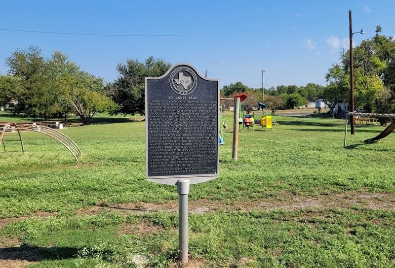
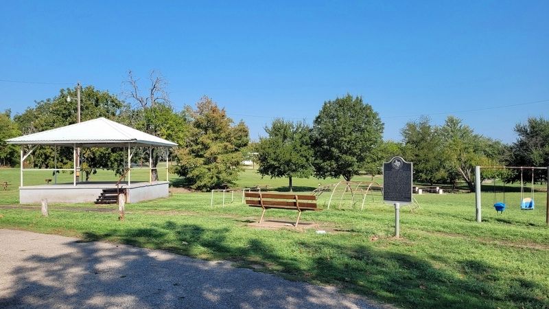
Location. 33° 34.933′ N, 95° 54.978′ W. Marker is in Honey Grove, Texas, in Fannin County. Marker is at the intersection of Market Street West and South Piner Street, on the right when traveling west on Market Street West. The marker is located in Crockett Park. Touch for map. Marker is at or near this postal address: 706 Market St W, Honey Grove TX 75446, United States of America. Touch for directions.
Other nearby markers. At least 8 other markers are within walking distance of this marker. Honey Grove City Hall (approx. 0.4 miles away); Honey Grove Lodge No. 164, A.F. & A.M. (approx. 0.4 miles away); Church of St. Mark, the Evangelist, Episcopal (approx. half a mile away); McKenzie Methodist Church (approx. half a mile away); First Baptist Church of Honey Grove (approx. half a mile away); Site of Bralley-Pendleton School (approx. half a mile away); Dial Home (approx. 0.6 miles away); James Thomas Holt (approx. 0.7 miles away). Touch for a list and map of all markers in Honey Grove.
Also see . . . Honey Grove, TX. Texas State Historical Association (TSHA) (Submitted on October 11, 2023, by James Hulse of Medina, Texas.)
Credits. This page was last revised on October 11, 2023. It was originally submitted on October 9, 2023, by James Hulse of Medina, Texas. This page has been viewed 68 times since then and 17 times this year. Photos: 1, 2, 3. submitted on October 9, 2023, by James Hulse of Medina, Texas.


