Casco Antiguo in Zaragoza, Aragón, Spain — Southwestern Europe (Iberian Peninsula)
Puerta del Carmen
Historia de Zaragoza
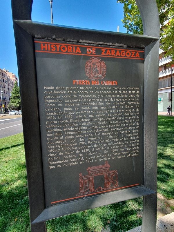
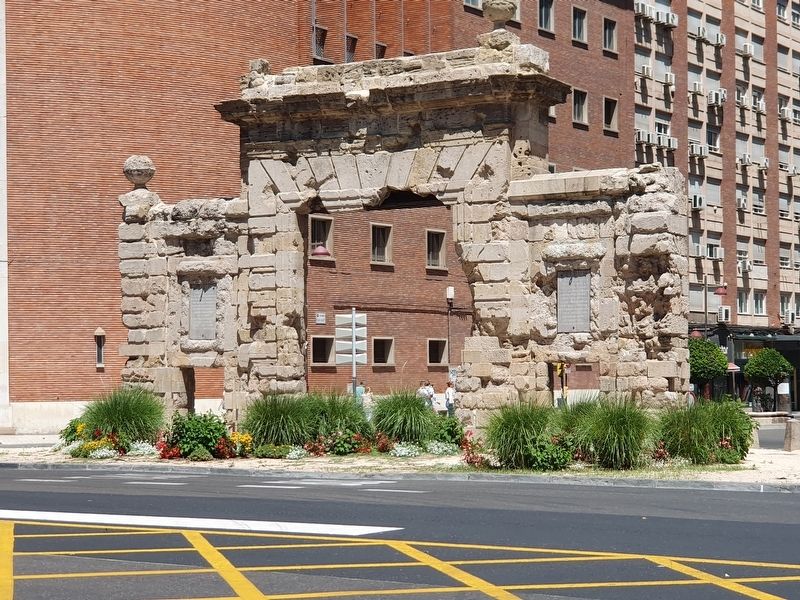
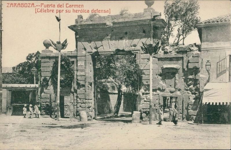
Hasta doce puertas tuvieron los diversos muros de Zaragoza, cuya función era el control de los accesos a la ciudad, tanto de personas como de mercancías, y su correspondiente pago de impuestos. La puerta del Carmen es la única que queda en pie. Tomó su moderna denominación del convento Carmelita cercano, pues se llamó con anterioridad de Baltax. La construcción que podemos ver sustituyó a otra más antigua, de 1656. En 1787, ante su mal estado, se decidió levantar una puerta nueva. El arquitecto municipal, Agustín Sanz, emplazó su definitiva ubicación y diseñó su alzado: un cuerpo central y dos laterales, siendo el primero más amplio para facilitar el paso de carruajes. Ornamentada con sobriedad, rememora los arcos de triunfo al gusto neoclásico. Los trabajos de cantería fueron ejecutados por los maestros Inchausti y Barastain, concluyéndose en 1795. Pocos años más tarde, en los Sitios de 1808 y 1809, fue escenario de cruentas jornadas, así como el cinco de marzo de 1838, al intentar el asalto de la ciudad la partida carlista de Cabañero. En 1908 fue declarada Monumento Nacional, proyectándose su conservación exenta, que se completó en 1925 al derribar las tapias adosadas.
Puerta del Carmen
The various walls of Zaragoza at one time had up to twelve gates, whose function was to control access to the city, both that of persons and goods, and their corresponding payment of taxes. The Puerta del Carmen is the only one left standing. It took its modern name from the nearby Carmelite convent, as it was formerly called Baltax. The construction that we can see replaced an older one, from 1656. In 1787, given its poor condition, it was decided to build a new gate. The municipal architect, Agustín Sanz, decided on its final location and designed it: a central body and two lateral ones, the first being wider to facilitate the passage of carriages. Decorated with sobriety, it recalls Neoclassical triumphal arches. The stonework was completed by the masters Inchausti and Barastain is concluded in 1795. A few years later, during the Sieges of 1808 and 1809, it was the scene of bloody battles, as well as during March 5, 1838, when the Carlist party of Cabañero attempted to assault the city. In 1908 it was declared a National Monument, as part of its eventual complete conservation, which was completed in 1925 by demolishing the attached walls.
Topics. This historical marker is listed in these topic lists: Architecture
• Wars, Non-US. A significant historical date for this entry is March 5, 1838.
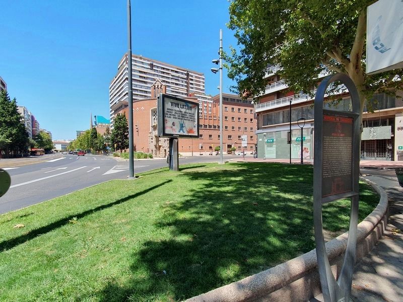
Location. 41° 38.975′ N, 0° 53.233′ W. Marker is in Zaragoza, Aragón. It is in Casco Antiguo. Marker is at the intersection of Calle de Canfranc and Avenida de César Augusto, on the left when traveling east on Calle de Canfranc. Touch for map. Marker is at or near this postal address: Av de César Augusto 4, Zaragoza, Aragón 50004, Spain. Touch for directions.
Other nearby markers. At least 8 other markers are within walking distance of this marker. A different marker also named Puerta del Carmen (within shouting distance of this marker); a different marker also named Puerta del Carmen (within shouting distance of this marker); Basilica of Santa Engracia (approx. 0.4 kilometers away); Church of Santiago el Mayor (approx. 0.4 kilometers away); Calle San Diego (approx. 0.4 kilometers away); Municipal Employees Killed in 1920 (approx. 0.4 kilometers away); Calle Ramón Pignatelli, 43 (approx. half a kilometer away); Calle Ramón Pignatelli, 63 (approx. half a kilometer away). Touch for a list and map of all markers in Zaragoza.
Also see . . . Puerta del Carmen at Wikipedia (en español). (Submitted on October 11, 2023.)
Credits. This page was last revised on October 19, 2023. It was originally submitted on October 11, 2023, by J. Makali Bruton of Accra, Ghana. This page has been viewed 49 times since then and 12 times this year. Photos: 1, 2, 3. submitted on October 11, 2023, by J. Makali Bruton of Accra, Ghana. 4. submitted on October 19, 2023.


