West Seventh - Fort Road in Saint Paul in Ramsey County, Minnesota — The American Midwest (Upper Plains)
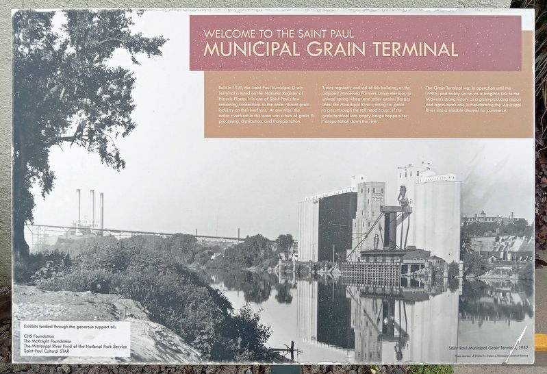
Welcome to the Saint Paul Municipal Grain Terminal
Inscription.
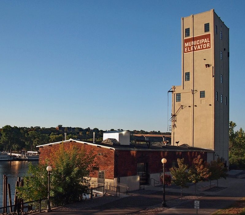
Built in 1931, the Saint Paul Municipal Grain Terminal is listed on the National Register of Historic Places. It is one of Saint Paul's few remaining connections to the once-vibrant grain industry on the riverfront. At one time, the entire riverfront in this area was a hub of grain processing, distribution, and transportation.
Trains regularly arrived at this building, or the adjacent Minnesota farmers Union elevator, to unload spring wheat and other grains. Barges lined the Mississippi River waiting for grain to pass through the tall head house of the grain terminal into empty barge hoppers for transportation down the river.
The Grain Terminal was in operation until the 1980s, and today serves as a tangible link to the Midwest's strong history as a grain-producing region and agriculture's role in transforming the Mississippi River into a reliable channel for commerce.
Caption: Saint Paul Municipal Grain Terminal, 1952
Photo courtesy of Walter N. Trenerry, Minnesota Historical Society
Exhibits funded through the generous support of:
CHS Foundation
The McKnight Foundation
The Mississippi River Fund of the National Park Service
Saint Paul Cultural STAR
Topics. This historical marker is listed in these topic lists: Industry & Commerce • Railroads & Streetcars • Waterways & Vessels. A significant historical year for this entry is 1931.
Location. 44° 56.342′ N, 93° 5.996′ W. Marker is in Saint Paul, Minnesota, in Ramsey County. It is in West Seventh - Fort Road. Marker is at the intersection of Mill Street and Walnut Street on Mill Street. Touch for map. Marker is at or near this postal address: 258 Mill Street, Saint Paul MN 55102, United States of America. Touch for directions.
Other nearby markers. At least 8 other markers are within walking distance of this marker. A River in Decline (a few steps from this marker); USS Saint Paul (CA-73) Anchor (about 800 feet away, measured in a direct line); Saint Paul AMVETS Memorial (approx. 0.2 miles away); River Commerce and the Upper Landing (approx. 0.2 miles away); Irvine Park / Irvine Park Historic District (approx. 0.2 miles away); Justus Ohage, M.D. (approx. ¼ mile away); Alexander Ramsey House (approx. ¼ mile away); Giants populate the earth (approx. ¼ mile away). Touch for a list and map of all markers in Saint Paul.
Credits. This page was last revised on October 16, 2023. It was originally submitted on October 12, 2023, by McGhiever of Minneapolis, Minnesota. This page has been viewed 74 times since then and 25 times this year. Photos: 1, 2, 3. submitted on October 12, 2023, by McGhiever of Minneapolis, Minnesota. • J. Makali Bruton was the editor who published this page.


