Carleton Place in Lanark County, Ontario — Central Canada (North America)
Memorial Park
Get to know Carleton Place
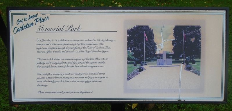
Photographed by William Fischer, Jr., September 29, 2023
1. Memorial Park Marker
On June 8th, 2013, a dedication ceremony was conducted on this site following a three year restoration and expansion project of the cenotaph area. This project was completed through the joint efforts of the Town of Carleton Place, Veterans Affairs Canada, and Branch 192 of the Royal Canadian Legion.
This park is dedicated to our sons and daughters of Carleton Place who so gallantly and bravely fought the good fight yet paid the supreme sacrifice. Our cenotaph has the name of those 94 local individuals engraved on it.
The cenotaph area and the grounds surrounding it are considered sacred ground, a place where we invite you to remember and pay your respects to those who bravely gave their lives so that we may enjoy freedom and democracy.
Please respect these sacred grounds for what they represent.
Topics. This historical marker is listed in these topic lists: Patriots & Patriotism • War, Korean • War, World I • War, World II. A significant historical date for this entry is June 8, 2013.
Location. 45° 8.406′ N, 76° 8.653′ W. Marker is in Carleton Place, Ontario, in Lanark County. It is at the intersection of Franklin
this page online

Regionally, this marker is in the Haliburton Highlands to Ottawa Valley and in Eastern Ontario. It is also in Central Canada. Globally, it is in North America, the Western Hemisphere, the Western World, and the Anglosphere. Historically, it finds itself in what was once a British colony, the Viceroyalty of New France, the Haudenosaunee (Iroquois) Confederacy, and Rupert’s Land.
Other nearby markers. At least 8 other markers are within walking distance of this marker: Memorial Park (a few steps from this marker); Memorial Park Cenotaph (a few steps from this marker); Zion Presbyterian Church Cornerstone (a few steps from this marker); Captain A. Roy Brown, D.S.C. / Capitaine A. Roy Brown, D.S.C. (within shouting distance of this marker); Post Office and Federal Building (about 150 meters away, measured in a direct line); Town Hall Square Historical Murals (about 180 meters away); The Herald and Canadian Tire
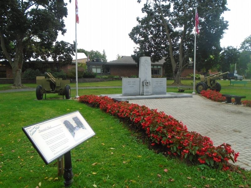
Photographed by William Fischer, Jr., September 29, 2023
2. Memorial Park and Marker
Additional keywords. Memorial Park
Credits. This page was last revised on March 21, 2025. It was originally submitted on October 12, 2023, by William Fischer, Jr. of Reynoldsburg, Ohio. This page has been viewed 144 times since then and 19 times this year. Photos: 1, 2. submitted on October 12, 2023, by William Fischer, Jr. of Reynoldsburg, Ohio.
