Hot Springs National Park in Garland County, Arkansas — The American South (West South Central)
Mountain Towers
Hot Springs National Park
Photographed by James Hulse, September 29, 2023
1. Mountain Towers Marker
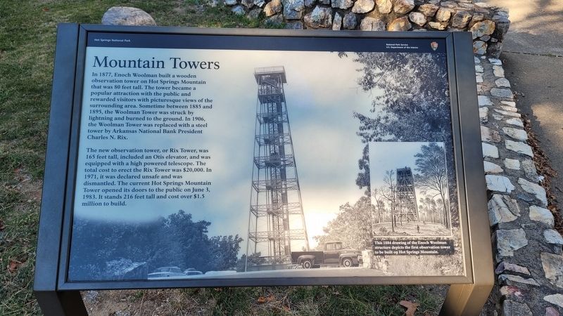
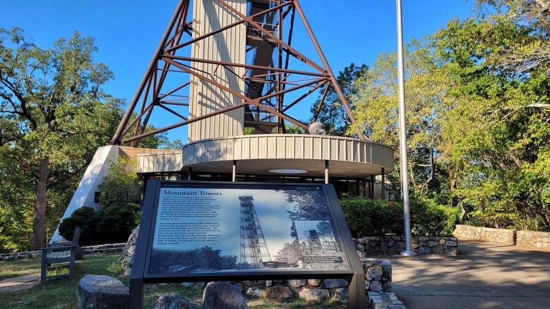
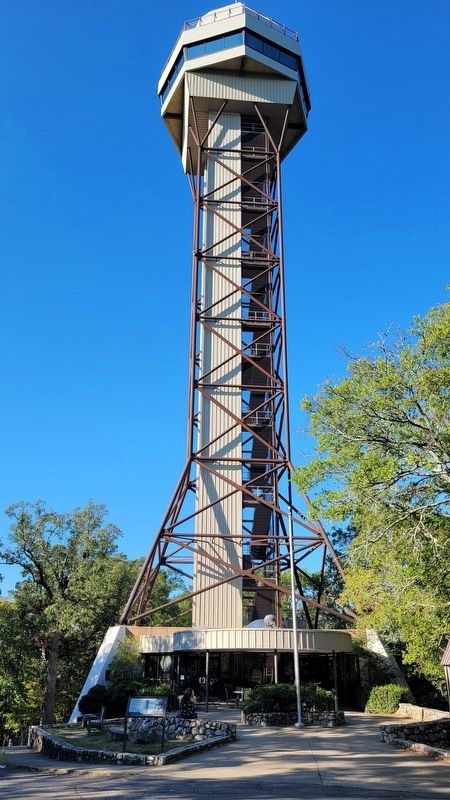
The new observation tower, or Rix Tower, was 165 feet tall, included an Otis elevator, and was equipped with a high powered telescope. The total cost to erect the Rix Tower was $20,000. In 1971, it was declared unsafe and was dismantled. The current Hot Springs Mountain Tower opened its doors to the public on June 3, 1983. It stands 216 feet tall and cost over $1.5 million to build.
Caption
Lower Right: This 1884 drawing of the Enoch Woolman structure depicts the first observation tower to be built on Hot Springs Mountain.
Erected by National Park Service, US Department of the interior.
Topics. This historical marker is listed in this topic list: Parks & Recreational Areas. A significant historical date for this entry is June 3, 1983.
Location. 34° 31.052′ N,
this page online

Regionally, this marker is in the Ouachita Mountains. It is also in the American South and specifically in the Upper South. Globally, it is in North America, the Western Hemisphere, the Western World, and the Anglosphere. Historically, it finds itself in what was once the territory of the Mississippian Culture, the Louisiana Purchase, one of the Confederate States of America, and the Antebellum South.
Other nearby markers. At least 8 other markers are within walking distance of this marker: The Zig Zag Mountains (approx. 0.2 miles away); Shortcut Trail (approx. 0.2 miles away); "Where Fun, Frolic and Frivolity Reigns" (approx. 0.2 miles away); Happy Hollow Spring (approx. 0.2 miles away);
Photographed by James Hulse, September 29, 2023
2. The Mountain Tower and Marker
Photographed by James Hulse, September 29, 2023
3. The Mountain Tower
Credits. This page was last revised on October 13, 2023. It was originally submitted on October 13, 2023, by James Hulse of Medina, Texas. This page has been viewed 594 times since then and 74 times this year. Photos: 1, 2, 3. submitted on October 13, 2023, by James Hulse of Medina, Texas.
