Hot Springs National Park in Garland County, Arkansas — The American South (West South Central)
Trail Shelters
Hot Springs National Park
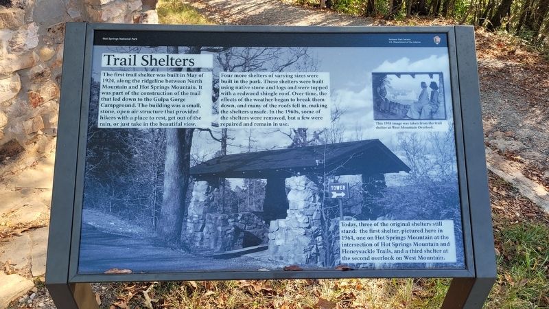
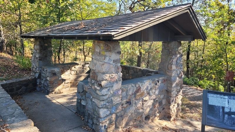
Four more shelters of varying sizes were built in the park. These shelters were built using native stone and logs and were topped with a redwood shingle roof. Over time, the effects of the weather began to break them down, and many of the roofs fell in, making the shelters unsafe. In the 1960s, some of the shelters were removed, but a few were repaired and remain in use.
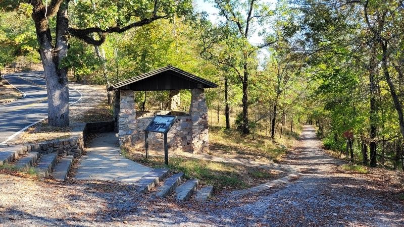
Today, three of the original shelters still stand: the first shelter, pictured here in 1964, one on Hot Springs Mountain at the intersection of Hot Springs Mountain and Honeysuckle Trails, and a third shelter at the second overlook on West Mountain.
Caption
Upper Right: This 1938 image was taken from the trail shelter at West Mountain Overlook.
Erected by National Park Service, US Department of the interior.
Topics. This historical marker is listed in this topic list: Parks & Recreational Areas. A significant historical month for this entry is May 1924.
Location. 34° 31.418′ N, 93° 2.492′ W. Marker is in Hot Springs, Arkansas, in Garland County. It is in Hot Springs National Park. Marker is at the intersection of Hot Springs Mountain Drive and Fountain Street, on the right when traveling north on Hot Springs Mountain Drive. The marker is located along the right side of the road up to the Hot Springs Mountain Tower at the Gulpha Gorge Trail. Touch for map. Marker is in this post office area: Hot Springs National Park AR 71901, United States of America. Touch for directions.
Other nearby markers. At least 8 other markers are within walking distance of this marker. Native Americans and Quarries (approx. ¼ mile away); Mountain Towers (approx. half a mile away); Happy Hollow Spring (approx. half a mile away); "Where Fun, Frolic and Frivolity Reigns" (approx. 0.6 miles away); Happy Hollow (approx. 0.6 miles away); Cold Water Springs (approx. 0.6 miles away); The Arlington Hotel (approx. 0.8 miles away); DeSoto Camp (approx. 0.8 miles away). Touch for a list and map of all markers in Hot Springs.
Credits. This page was last revised on October 13, 2023. It was originally submitted on October 13, 2023, by James Hulse of Medina, Texas. This page has been viewed 61 times since then and 15 times this year. Photos: 1, 2, 3. submitted on October 13, 2023, by James Hulse of Medina, Texas.


