West Hempfield Township near Columbia in Lancaster County, Pennsylvania — The American Northeast (Mid-Atlantic)
Henry Clay Furnace
Photographed by Annette Fillmore, October 10, 2023
1. Henry Clay Furnace Marker
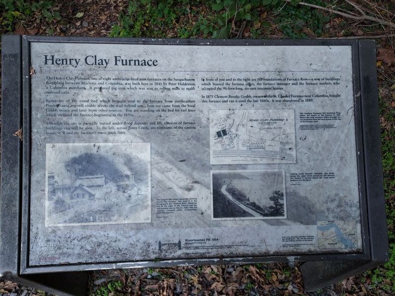
The Henry Clay Furnace, one of eight anthracite-fired iron furnaces on the Susquehanna floodplain between Marietta and Columbia, was built here in 1845 by Peter Haldeman, a Columbia merchant. It produced pig iron which was sent to rolling mills to make railroad rails.
Remnants of the canal bed which brought coal to the furnace from northeastern Pennsylvania are still visible across the trail behind you. Iron ore came from the local Grubb mines and later from other sources. You are standing on the bed for rail lines which serviced the furnace beginning in the 1850s.
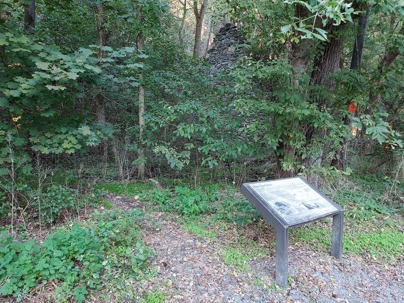
Although the site is partially buried under flood deposits and fill, remains of furnace buildings can still be seen. To the left, across Jones Creek, are remnants of the casting house wall and the furnace's stone stack liner.
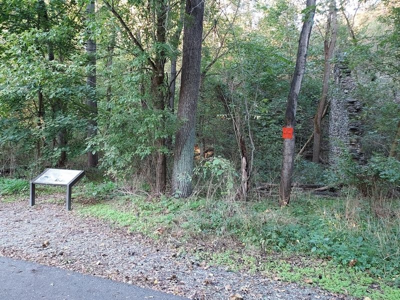
In front of you and to the right are the foundations of Furnace Row--a row of buildings which housed the furnace office, the furnace manager and the furnace workers who occupied the 98-foot-long, six-unit tenement house.
In 1875 Clement Brooke Grubb, owner of the St. Charles Furnace near Columbia, bought this furnace and ran
this page online
Erected by Rivertownes PA USA.
Topics. This historical marker is listed in these topic lists: Industry & Commerce • Railroads & Streetcars • Waterways & Vessels. A significant historical year for this entry is 1845.
Location. 40° 2.944′ N, 76° 31.315′ W. Marker is near Columbia, Pennsylvania, in Lancaster County. It is in West Hempfield Township. It is on Northwest Lancaster County River Trail. Located halfway between Columbia and Marietta on the NW Lancaster County River Trail. Touch for map. Marker is at or near this postal address: NW Lancaster County River Trail, Columbia PA 17512, United States of America. Touch for directions.

Regionally, this marker is in South-Central Pennsylvania, specifically in Pennsylvania Dutch Country, and in the Susquehanna Valley. It is also in the American Northeast and in the Mid-Atlantic. Globally, it is in North America, the Western Hemisphere, the Western World, and the Anglosphere. Historically, it finds itself in what was once the Haudenosaunee (Iroquois) Confederacy and also one of the original Thirteen Colonies.
Other nearby markers. At
Photographed by Annette Fillmore, October 10, 2023
2. Henry Clay Furnace Marker
Photographed by Annette Fillmore, October 10, 2023
3. Henry Clay Furnace Marker and "Furnace Row"
Photographed by Annette Fillmore, October 10, 2023
4. Henry Clay Furnace Marker
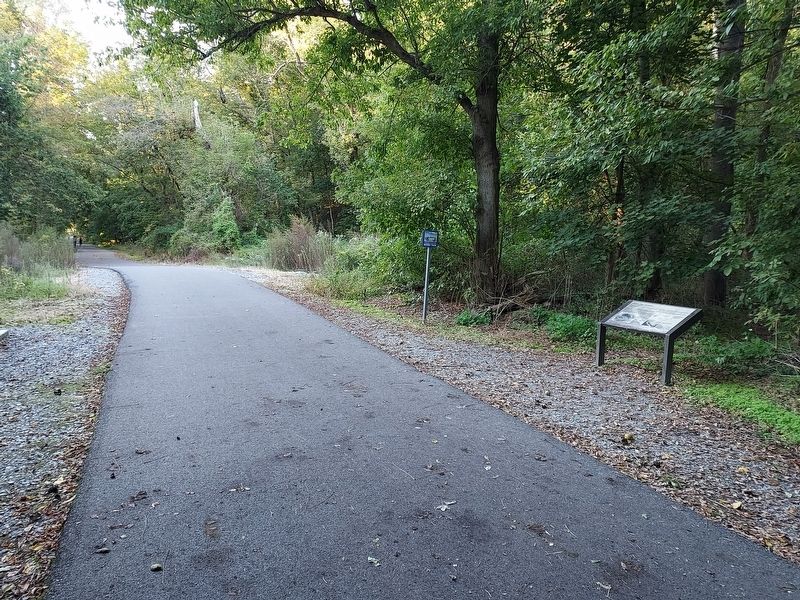
Location to left of marker was the site of the furnace. View looking toward Marietta.
Credits. This page was last revised on July 20, 2025. It was originally submitted on October 13, 2023, by Annette Fillmore of York, Pennsylvania. This page has been viewed 1,016 times since then and 123 times this year. Photos: 1, 2, 3, 4. submitted on October 13, 2023, by Annette Fillmore of York, Pennsylvania. • Bill Pfingsten was the editor who published this page.
