Hot Springs National Park in Garland County, Arkansas — The American South (West South Central)
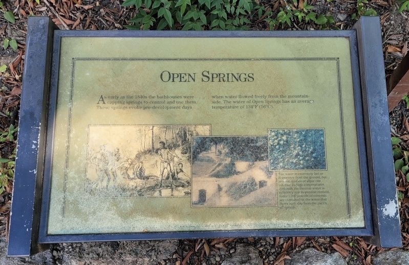
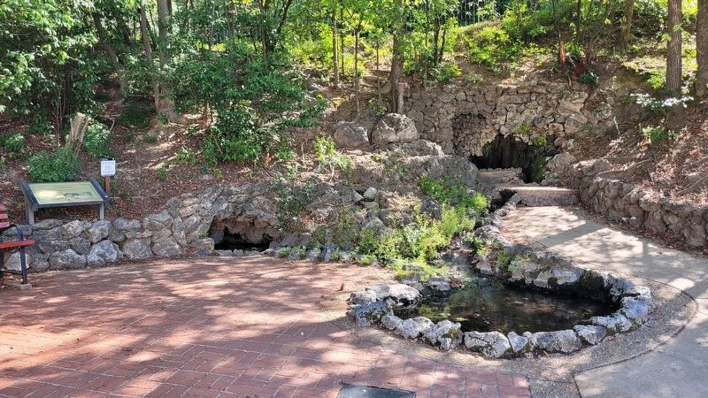
Open Springs
Caption
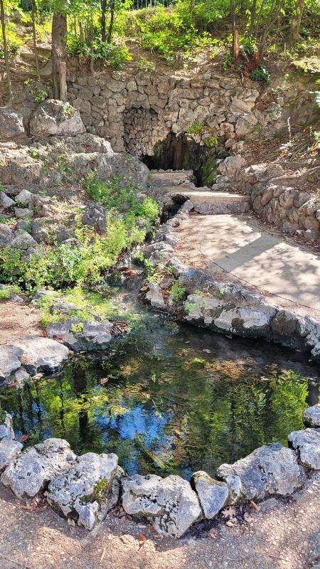
The water is extremely hot as it emerges from the ground, but several species of algae can tolerate its high temperatures. Although the thermal water is relatively low in mineral content, some 1,300 pounds of minerals are contained in the water that flows each day from the park's 47 springs.
Topics. This historical marker is listed in this topic list: Parks & Recreational Areas. A significant historical year for this entry is 1840.
Location. 34° 30.845′ N, 93° 3.187′ W. Marker is in Hot Springs, Arkansas, in Garland County. It is in Hot Springs National Park. Marker is on Central Avenue, 0.2 miles north of Reserve Street. The marker is located behind the Maurice Bathhouse near the Grand Promenade. Touch for map. Marker is at or near this postal address: 369 Central Ave, Hot Springs National Park AR 71901, United States of America. Touch for directions.
Other nearby markers. At least 8 other markers are within walking distance of this marker. The Bandstand (a few steps from this marker); Tufa Terrace Trail (a few steps from this marker); Peak Trail (within shouting distance of this marker); Maurice Bathhouse (within shouting distance of this marker); Fordyce Bathhouse (within shouting distance of this marker); Hale Bathhouse (within shouting distance of this marker); Dead Chief Trail (within shouting distance of this marker); Hot Springs Utility Improvements (within shouting distance of this marker). Touch for a list and map of all markers in Hot Springs.
Credits. This page was last revised on October 14, 2023. It was originally submitted on October 13, 2023, by James Hulse of Medina, Texas. This page has been viewed 51 times since then and 11 times this year. Photos: 1, 2, 3. submitted on October 14, 2023, by James Hulse of Medina, Texas.


