Marion in Crittenden County, Arkansas — The American South (West South Central)
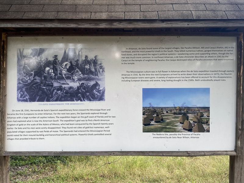
Hernando De Soto's expeditionary force entering Arkansas
Inscription.
On June 18, 1541, Hernando de Soto's Spanish expeditionary force crossed the Mississippi River and became the first Europeans to enter Arkansas. For the next two years, the Spaniards explored through Arkansas with a large number of captive Indians. The expedition began on the gulf coast of Florida and for two years had explored what is now the American South. The expedition's goal was to find a North American kingdom of gold on the scale of the Aztecs of Mexico, who had been conquered by the Spanish twenty years earlier. De Soto and his men were sorely disappointed. They found not cities of gold but numerous, well-populated villages supported by vast fields of maize. The Spaniards had entered the Mississippian Period world noted for their mound-building and hierarchical political systems. Powerful chiefs controlled several villages that provided tribute to them.
In Arkansas, de Soto found some of the largest villages, like Pacaha (Wilson, AR) and Casqui (Parkin, AR) in the northeast, and the most powerful chiefs in the South. They killed numerous natives, gorged themselves on native food stores, and disrupted the region's political systems-weakening some and supporting others, though the former was much more common. In northeast Arkansas, a de Soto chronicler describes an attack in 1541 by the Casqui on the temple of neighboring Pacaha, the Casqui destroyed relics of Pacaha ancestors that were entombed in the temple.
The Mississippian culture was in full flower in Arkansas when the de Soto expedition traveled through eastern Arkansas in 1541. By the time the next Europeans arrived to write down their observations in 1673, the flourishing Mississippian towns were gone. A variety of explanations has been offered to account for this disappearance, including European diseases and severe, long-lasting drought in the 1500s. Both undoubtedly played roles.
Image caption: The Nodena Site, possibly the Province of Pacaha encountered by de Soto Near Wilson, Arkansas
Topics. This historical marker is listed in these topic lists: Exploration • Native Americans. A significant historical year for this entry is 1541.
Location. 35° 12.917′ N, 90° 11.658′ W. Marker is in Marion, Arkansas, in Crittenden County. Marker can be reached from East Military Road. Touch for map. Marker is at or near this postal address: 200 E Military Road, Marion AR 72364, United States of America. Touch for directions.
Other nearby markers. At least 8 other markers are within walking distance of this marker. The Trail of Tears...A Sad Chapter in American History (within shouting distance of this marker); Father Jacques Marquette and Louis Joliet's French expedition arrived in Arkansas (within shouting distance of this marker); Old County Jail (about 300 feet away, measured in
a direct line); Marion Hotel (about 500 feet away); Crittenden Bank & Trust Company (about 600 feet away); Crittenden County Health Department (about 700 feet away); Forest Industry History in the Delta (about 800 feet away); Confederate Soldier's Memorial (approx. 0.2 miles away). Touch for a list and map of all markers in Marion.
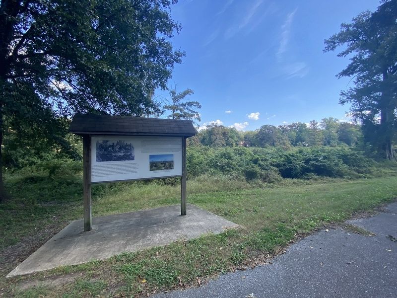
More about this marker. The marker is located on the Marion Lake Walking Trail.
Credits. This page was last revised on November 1, 2023. It was originally submitted on October 14, 2023, by Darren Jefferson Clay of Duluth, Georgia. This page has been viewed 88 times since then and 37 times this year. Photos: 1, 2. submitted on October 25, 2023, by Darren Jefferson Clay of Duluth, Georgia. • Andrew Ruppenstein was the editor who published this page.

