Earle in Crittenden County, Arkansas — The American South (West South Central)
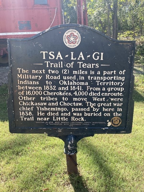
Tsa-La-Gi
Trail of Tears
Photographed by Darren Jefferson Clay, October 1, 2023
1. Tsa-La-Gi Marker
Erected 1976 by The West Memphis - Crittenden County Bicentennial in cooperation with Esperanza Trails, Inc.
Topics and series. This historical marker is listed in this topic list: Indigenous Peoples and Communities. In addition, it is included in the Trail of Tears series list.
Location. 35° 16.183′ N, 90° 28.024′ W. Marker is in Earle, Arkansas, in Crittenden County. It is on Main Street, on the right when traveling east. Touch for map. Marker is at or near this postal address: 1131 Main St, Earle AR 72331, United States of America. Touch for directions.

Regionally, this marker is in the Arkansas Delta and in the Mississippi Alluvial Plain. It is also in the American South, specifically in the Upper South, in the Mississippi
this page online
Other nearby markers. At least 8 other markers are within 6 miles of this marker, measured as the crow flies: Trail of Tears (a few steps from this marker); The Flood of 1912 (approx. 4.9 miles away); Welcome to the Village Trail (approx. 5 miles away); Mississippian Garden (approx. 5 miles away); Protecting Casqui's Capital (approx. 5 miles away); The Sawdust Hill Community (approx. 5 miles away); Northeast Arkansas Discovery Tour (approx. 5 miles away); A Hidden School Discovered (approx. 5.2 miles away).
Photographed by Darren Jefferson Clay, October 1, 2023
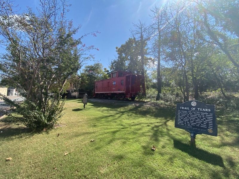
2. Tsa-La-Gi Marker
Credits. This page was last revised on October 27, 2023. It was originally submitted on October 14, 2023, by Darren Jefferson Clay of Duluth, Georgia. This page has been viewed 573 times since then and 76 times this year. Photos: 1, 2. submitted on October 25, 2023, by Darren Jefferson Clay of Duluth, Georgia. • Andrew Ruppenstein was the editor who published this page.
