Guildford in Surrey, England, United Kingdom — Northwestern Europe (the British Isles)
The Town Bridge

Photographed by Stephen Palmer, October 15, 2023
1. The Town Bridge Marker
This bridge stands on the site of the ancient ford from which Guildford takes its name, Saxon migrants founded the town in about AD 500, settling beside the 'golden ford', In the later Saxon period there may have been a wooden bridge alongside the ford but no trace of one has yet been discovered. Around 1200, though, a stone bridge was constructed by the monks of Waverley Abbey, one of a series of bridges which they built on the upper reaches of the Wey.
The ford itself remained alongside the bridge until 1760 when it was dredged out to allow barges to pass upstream on the new Godalming Navigation. The bridge itself was widened in the 1820s during the heyday of the coaching trade. However, in 1900 the ancient bridge was destroyed in a flood and was replaced by a bridge of cast iron and steel two years later. This bridge was closed to traffic when Millbrook was constructed across the end of the High Street in 1970 and the bridge itself was rebuilt in 1983, reusing the cast iron side arches of the previous bridge.
Just downstream from the bridge is the town wharf. Excavations have revealed timber reinforcements
this page online
Erected by Guildford Borough.
Topics. This historical marker is listed in this topic list: Bridges & Viaducts. A significant historical year for this entry is 1200.
Location. 51° 14.095′ N, 0° 34.58′ W. Marker is in Guildford, England, in Surrey. It can be reached from High Street. Marker is to the left when approaching the bridge from the east. Touch for map. Marker is in this post office area: Guildford, England GU1 3DW, United Kingdom. Touch for directions.

Regionally, this marker is in the Greater South East. Globally, it is on the Atlantic Ocean, in the North Atlantic Region, in Europe, in Atlantic Europe, on one of the British Isles, in the Western World, and in the Anglosphere. Historically, it finds itself in what was once the Roman Empire.
Other nearby markers. At least 8 other markers are within walking distance of this marker: The Stranglers (about 90 meters away, measured in a direct line);
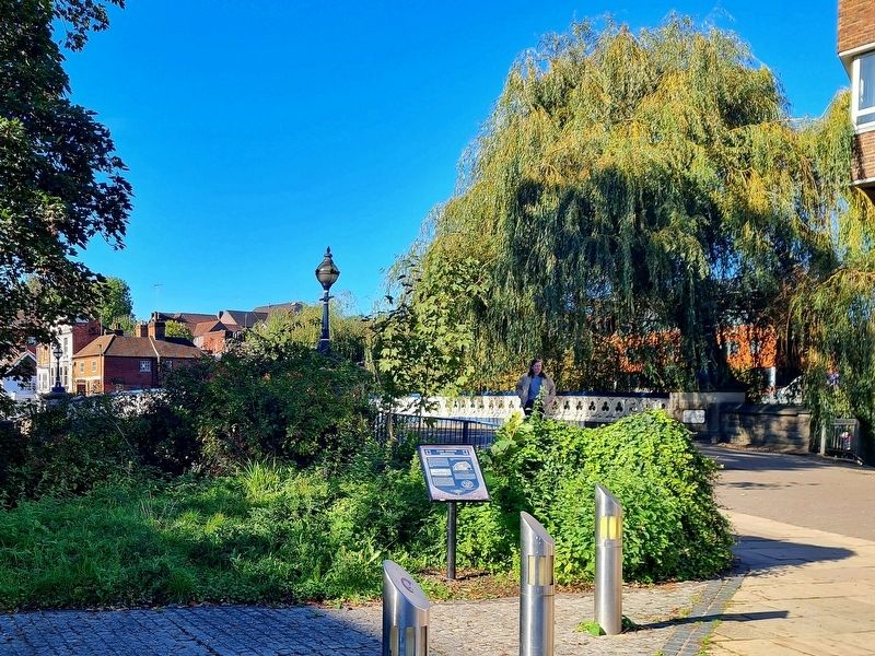
Photographed by Stephen Palmer, October 15, 2023
2. The Town Bridge Marker
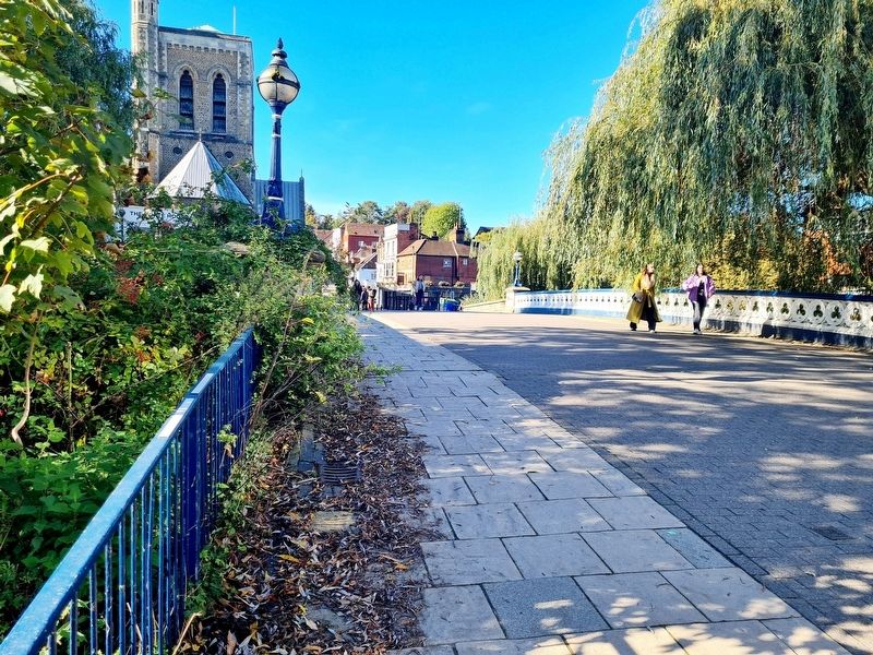
Photographed by Stephen Palmer, October 15, 2023
3. The Town Bridge
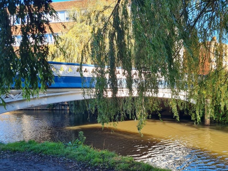
Photographed by Stephen Palmer, October 15, 2023
4. The Town Bridge
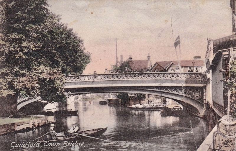
circa 1905
5. Guildford, Town Bridge
Credits. This page was last revised on October 15, 2023. It was originally submitted on October 15, 2023, by Stephen Palmer of Ascot, England. This page has been viewed 428 times since then and 75 times this year. Photos: 1, 2, 3, 4. submitted on October 15, 2023, by Stephen Palmer of Ascot, England. 5. submitted on October 15, 2023. • Andrew Ruppenstein was the editor who published this page.
