Cedar-Riverside in Minneapolis in Hennepin County, Minnesota — The American Midwest (Upper Plains)
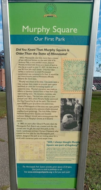
Murphy Square
Our First Park
Did You Know That Murphy Square Is Older Than the State of Minnesota?
When Minneapolis was little more than a cluster of saw mills and houses on the west side of St. Anthony Falls, a civic-minded citizen, Edward Murphy, donated this three-acre block of land to the city as a park on July 17, 1857. At that time it was far from the city's center. Only four days earlier, a convention to draft Minnesota's constitution was convened in St. Paul. It would be ten more months before Minnesota officially became the 32nd state.
Murphy was ahead of his time. City parks were a new concept then, meant to provide open space and fresh air amid the increasing squalor of industrial cities. Murphy's donation was made as efforts to develop Central Park in New York City were making news. His donation, however, was ignored for years. The land was used as a cow pasture until 1873, when Murphy finally convinced the City Council to fix up the park. The council spent $500 to put up a fence and plant trees.
Most of Minneapolis at that time was open prairie, so as the trees grew the welcome shade attracted neighborhood gatherings. The Irish Rifles, Father Matthew Temperance Society and Swedish Lutheran Sabbath School were among groups that held picnics in Murphy's Grove, as it became known.
In 1883, six years after Edward Murphy died, the Minneapolis Park Board was created, ad the city turned over his gift, the city's first park, to the board. Landscape architect Horace Cleveland, who created the first plan for the Minneapolis park system, designed the park as an inviting place for a stroll, with numerous paths and ample trees.
Horace Cleveland's plan for Murphy Square, 1885
Dedication of ceremonial plaque with Oscar Anderson, President of Augsburg College, in 1979
"GEE, I always thought Murphy Square was part of Augsburg!"
Augsburg College has been a neighbor of Murphy Square since 1872. By the 1930s, Augsburg nearly surrounded the park, but it was the construction of I-94 in the 1960s, which reduced access from neighborhoods to the south, that made the park seem to be a part of the campus. In 2010 Augsburg formally "adopted" Murphy Square, agreeing to provide routine maintenance for the city's oldest park.
Murphy Square remains true to its Cleveland-era design as one of the few city parks without active recreation.
Erected 2008 by the Minneapolis Park and Recreation Board.
Topics. This historical marker is listed in these topic lists: Charity & Public Work • Parks & Recreational Areas. A significant historical date for this entry is July 17, 1857.
Location.
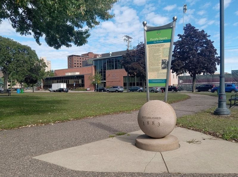
44° 57.911′ N, 93° 14.391′ W. Marker is in Minneapolis, Minnesota, in Hennepin County. It is in Cedar-Riverside. Marker is on 23rd Avenue S. north of Butler Place S., on the left when traveling north. The marker is in Murphy Square, just east of center. Touch for map. Marker is at or near this postal address: 801 22nd Avenue S, Minneapolis MN 55454, United States of America. Touch for directions.
Other nearby markers. At least 8 other markers are within walking distance of this marker. Milwaukee Avenue Historic District (approx. 0.3 miles away); Distance Learning (approx. 0.4 miles away); A Global University (approx. 0.4 miles away); A Legacy of Public Service (approx. 0.4 miles away); Mulford Q. Sibley Grove (approx. half a mile away); The West Bank (approx. half a mile away); Old Portage Trail (approx. half a mile away); Women in Science & Medicine (approx. 0.6 miles away). Touch for a list and map of all markers in Minneapolis.
Credits. This page was last revised on October 19, 2023. It was originally submitted on October 16, 2023, by McGhiever of Minneapolis, Minnesota. This page has been viewed 61 times since then and 24 times this year. Photos: 1, 2. submitted on October 16, 2023, by McGhiever of Minneapolis, Minnesota. • J. Makali Bruton was the editor who published this page.

