West Custer Township in Custer County, South Dakota — The American Midwest (Upper Plains)
Landscapes & Logging
Black Hills National Forest
— Caring for the Land and Serving People —
Benefit You
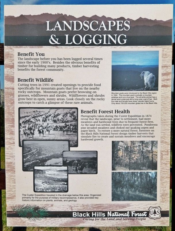
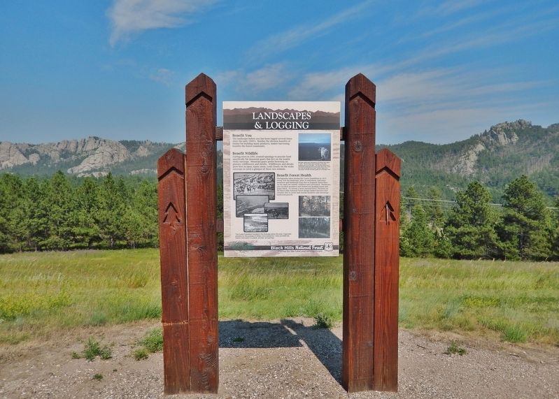
The landscape before you has been logged several times since the early 1900's. Besides the obvious benefits of timber for building many products, timber harvesting benefits the forest community.
Benefit Wildlife
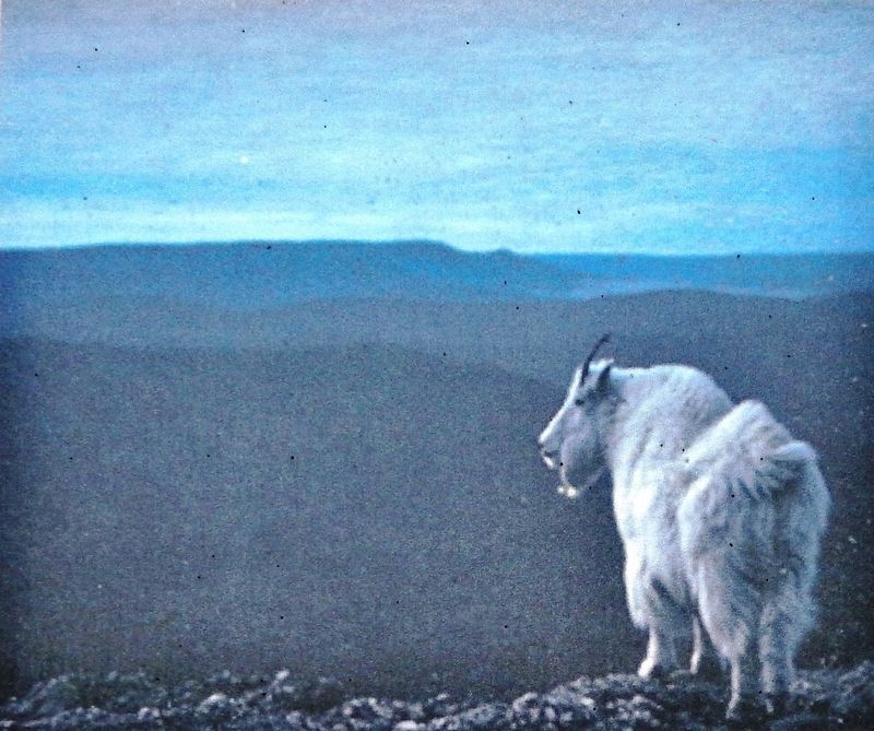
Cutting trees in 1991 created openings to provide food specifically for mountain goats that live on the nearby rocky outcrops. Mountain goats prefer browsing on grasses, wildflowers and shrubs. Wildflowers and shrubs grow best in open, sunny areas. Look closely on the rocky outcrops to catch a glimpse of these rare animals.
Benefit Forest Health
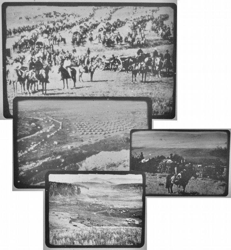
Photographs taken during the Custer Expedition in 1874 reveal that the landscape, prior to settlement, had more meadows and hardwood trees due to frequent forest fires. As the land was settled, wildfires were prevented. Ponderosa pine invaded meadows and choked out quaking aspen and paper birch. To restore a more natural forest, foresters on the Black Hills National Forest design timber harvests that simulate fire to create and sustain meadows and encourage hardwood growth.
Erected by Forest Service, U. S. Department of Agriculture.
Topics. This historical marker is listed in these topic lists: Animals • Exploration • Horticulture & Forestry • Parks & Recreational Areas. A significant historical year for this entry is 1991.
Location. 43° 47.775′ N, 103° 37.749′ W. Marker is near Custer, South Dakota, in Custer County. It is in West Custer Township. Marker is on U.S. 385, 0.6 miles south of Medicine Mountain Road, on the left when traveling south. The marker is located in a pull-out on the east side of the highway. Touch for map. Marker is in this post office area: Custer SD 57730, United States of America. Touch for directions.
Other nearby markers. At least 8 other markers are within 3 miles of this marker, measured as the crow flies. Everything changes, or does it? (approx. 0.4 miles away); Crazy Horse Memorial (approx. 1.6 miles away); The Hearst Highway (approx. 1.7 miles away); Custer County Courthouse (approx. 2˝ miles away); Horace N. Ross (approx. 2˝ miles away); Frontier Protection (approx. 2˝ miles away); First National Bank of Dakota Territory (approx. 2.6 miles away); Miners Meet 1875 (approx. 2.7 miles away). Touch for a list and map of all markers in Custer.
Also see . . . Black Hills Expedition (Wikipedia). Excerpt:
The Black Hills Expedition was a United States Army expedition in 1874(Submitted on October 18, 2023, by Cosmos Mariner of Cape Canaveral, Florida.)led by Lieutenant Colonel George Armstrong Custer that set out on July 2, 1874, from modern day Bismarck, North Dakota, which was then Fort Abraham Lincoln in the Dakota Territory, with orders to travel to the previously uncharted Black Hills of South Dakota. Its mission was to look for suitable locations for a fort, find a route to the southwest, and to investigate the possibility of gold mining. 2. Marker detail: Mountain GoatsMountain goats were introduced to the Black Hills region in 1924. The mountain goat is actually a mountain antelope and not a true goat. The all-white animal has a dense wool undercoat and a long outer coat of hair. Both the male and female have sharp, slender black horns. Only about 150-200 mountain goats live in the Black Hills.
The entire expedition was photographed by William H. Illingworth, an English photographer who accompanied Custer after selection by the then-Captain William Ludlow. Ludlow, the engineer for the expedition, financed Illingworth's photography and paid him $30 per month to provide photographic plates for the US Army, of which he made 70 in all.
Credits. This page was last revised on October 18, 2023. It was originally submitted on October 17, 2023, by Cosmos Mariner of Cape Canaveral, Florida. This page has been viewed 81 times since then and 12 times this year. Photos: 1, 2, 3, 4. submitted on October 18, 2023, by Cosmos Mariner of Cape Canaveral, Florida.


