Elk Rapids in Antrim County, Michigan — The American Midwest (Great Lakes)
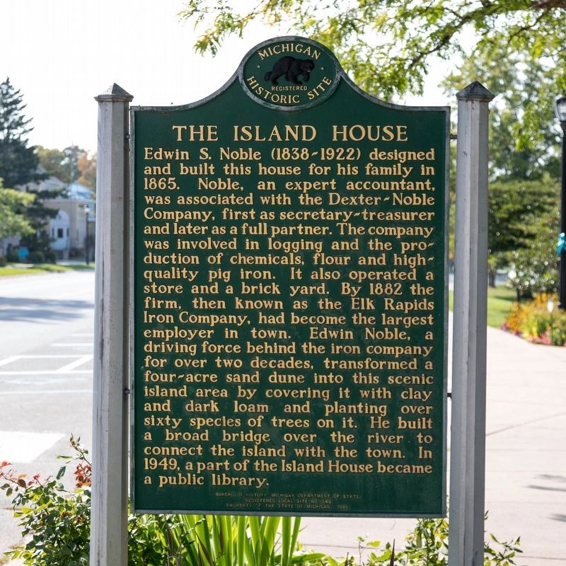
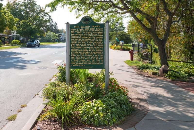
The Island House
Erected 1985 by Bureau of History, Michigan Department of State. (Marker Number 548.)
Topics and series. This historical marker is listed in these topic lists: Education • Man-Made Features • Notable Buildings. In addition, it is included in the Michigan Historical Commission series list. A significant historical year for this entry is 1865.
Location. 44° 53.868′ N, 85° 24.95′ W. Marker is in Elk Rapids, Michigan, in Antrim County. Marker is at the intersection of River Street and Pine Street, on the right when traveling west on River Street. Touch for map. Marker is at or near this postal address: 215 River St, Elk Rapids MI 49629, United States of America. Touch for directions.
Other nearby markers. At least 8 other markers are within walking distance of this marker. First Methodist Episcopal Church (about 400 feet away, measured in a direct line); Township Hall (about 400 feet away); Because of the Water... (approx. 0.3 miles away); Rotary Park "Centennial Project" (approx. 0.3 miles away); Elk Rapids (approx. 0.3 miles away); Land of Anishinabek (approx. 0.3 miles away); Why All of the Stumps? (approx. 0.3 miles away); Elk River, Entry to the Chain of Lakes of Antrim County (approx. 0.3 miles away). Touch for a list and map of all markers in Elk Rapids.
Also see . . . Wikipedia entry. Excerpt:
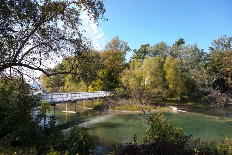
The Island House is centered on an island at the mouth of the Elk River leading to Grand Traverse Bay in Lake Michigan. The island itself has no official name. The Elk River flows for only a short distance at 1˝ miles from its source at Elk Lake, but in that short distance, the river had numerous rapids through a seven-foot drop in elevation.(Submitted on October 17, 2023.)
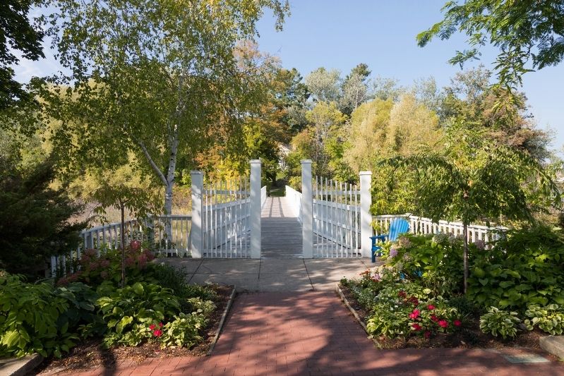
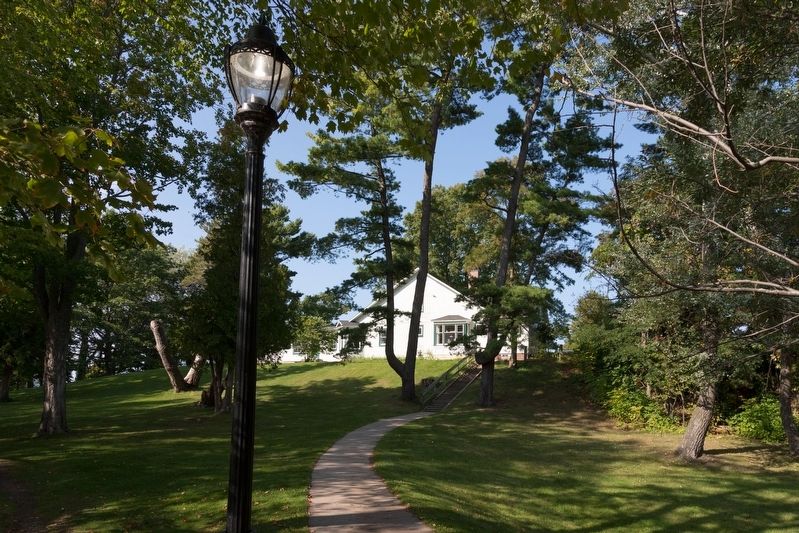
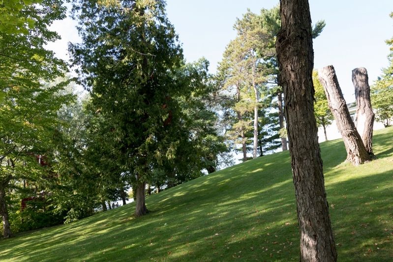
The island encompasses four acres and peaks at about 25 feet above the surface. Edwin Noble radically transformed the island by covering it with clay and loam, as well as planting numerous trees. The island would soon be nicknamed “The Isle of Pines due to the large number of trees on the island. Noble also constructed a small bridge to connect it to the mainland. The rapids were eliminated when the Elk Rapids Hydroelectric Dam was constructed in 1917, and it remains in operation. Today, the island is owned by the Village of Elk Rapids and remains open to the public as part of the Elk Rapids Harbor. It now contains several paved roads and bridges, boat launch and numerous docks, large parking lot, and park facilities.
Photographed By J. J. Prats, September 24, 2023
7. The Island House
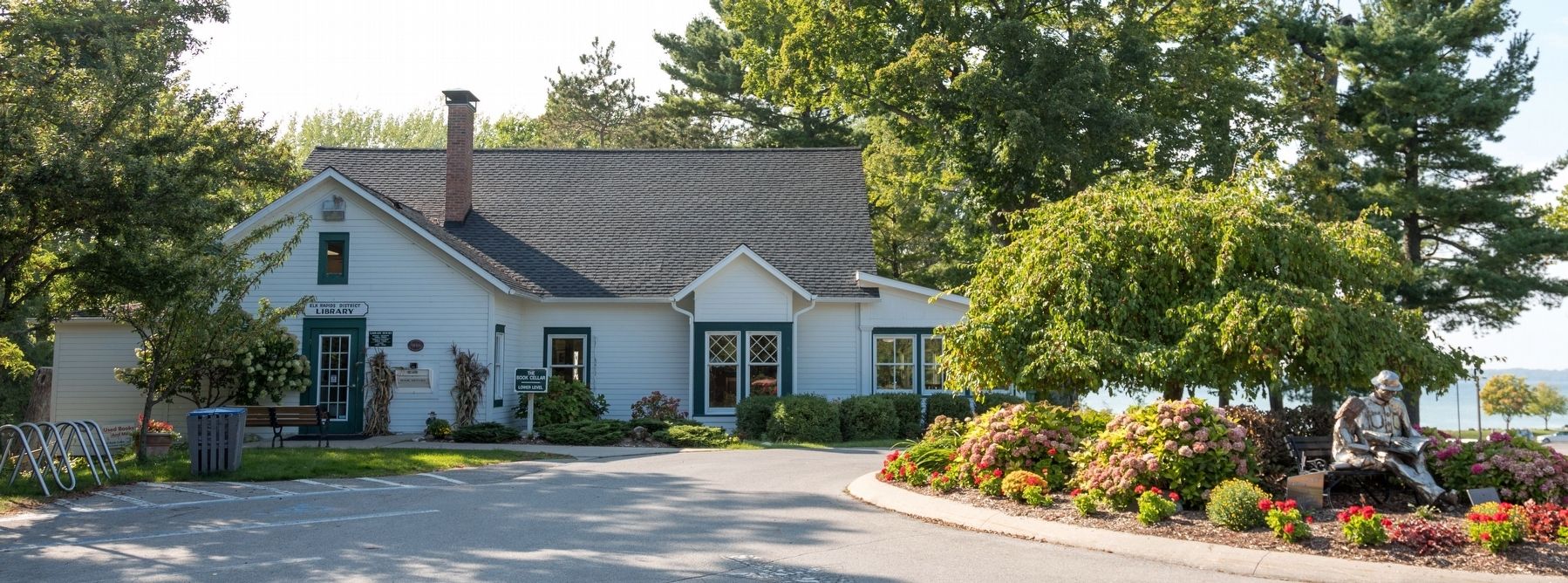
This view is from the loop of Isle of Pines Drive, which provides automobile access to the library via bridges on Cedar Street and on Dexter Street. The sign over the door on the left reads “Elk Rapids District Library,” the black sign on the right of the door shows library hours, and there is a book drop below it to the right.
Credits. This page was last revised on October 17, 2023. It was originally submitted on October 17, 2023, by J. J. Prats of Powell, Ohio. This page has been viewed 60 times since then and 17 times this year. Photos: 1, 2, 3, 4, 5, 6, 7. submitted on October 17, 2023, by J. J. Prats of Powell, Ohio.
